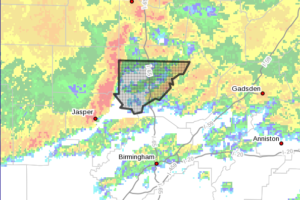
Storms Affecting Cullman County
At 735 AM CDT, Doppler radar was tracking a line of strong thunderstorms near Smith Dam, or 10 miles north of Sumiton, moving east at 50 mph.

At 735 AM CDT, Doppler radar was tracking a line of strong thunderstorms near Smith Dam, or 10 miles north of Sumiton, moving east at 50 mph.
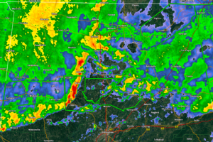
At 730 AM CDT, gauge reports indicated thunderstorms producing heavy rain across the warned area. Between 2 and 4 inches of rain have fallen. Flash flooding is ongoing or expected to begin shortly.
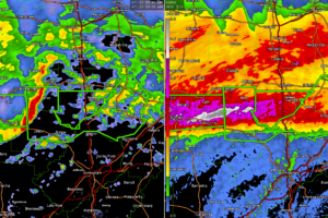
Rainfall is now approaching 4 inches over western Cullman County. More very heavy rainfall will be moving in from the west. Be aware of potential flooding this morning. Turn Around, Don’t Drown!!
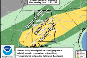
ACTIVE DAY: A cold front will push a band of showers and thunderstorms through Alabama today. SPC has defined a “slight risk” (level 2/5) of severe thunderstorms for areas along and south of I-59 today (Tuscaloosa/Birmingham/Gadsden and points south), with a “marginal risk” (level 1/5) for areas north of Birmingham.
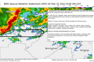
Storms extend from Near Kansas in Walker County into Fayette County.
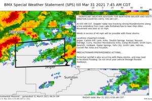
Heads up for storms moving into Walker and Winston Counties at this hour with gusty winds and very heavy rainfall.
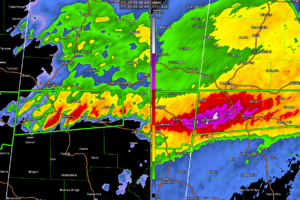
Flooding is becoming a problem across parts of Northwest Alabama this morning as heavy rain continues to move over the area from Mississippi. Expect more flood warnings. Flash flood watches continue across the northern third of the state.
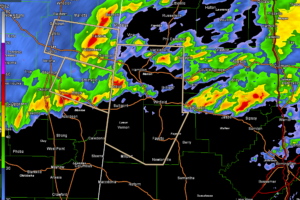
Thunderstorms are moving into parts of Marion, Fayette, and Lamar Counties this morning with heavy rain and gusty winds.
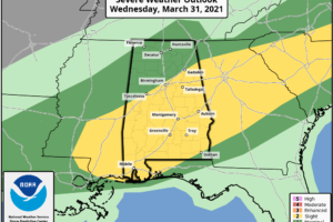
Stay weather aware today, both for the threat of severe weather, but also for flooding. The main severe weather threats are damaging winds and some hail, with a small chance of a couple of tornadoes. Heavy rains will cause flooding.
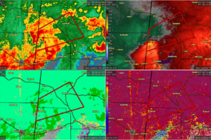
At 210 AM CDT, a severe thunderstorm capable of producing a tornado was located over Detroit, or 9 miles northwest of Sulligent, moving northeast at 35 mph.
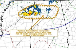
Vigorous thunderstorm development may persist and continue to spread east-northeastward across the region through 4-6 AM CDT, with at least some continuing risk for potentially damaging surface gusts and, perhaps, an isolated, brief tornado.
Notifications