Midday Nowcast: Gardens Will Need Watering Today, May Not Have To This Weekend
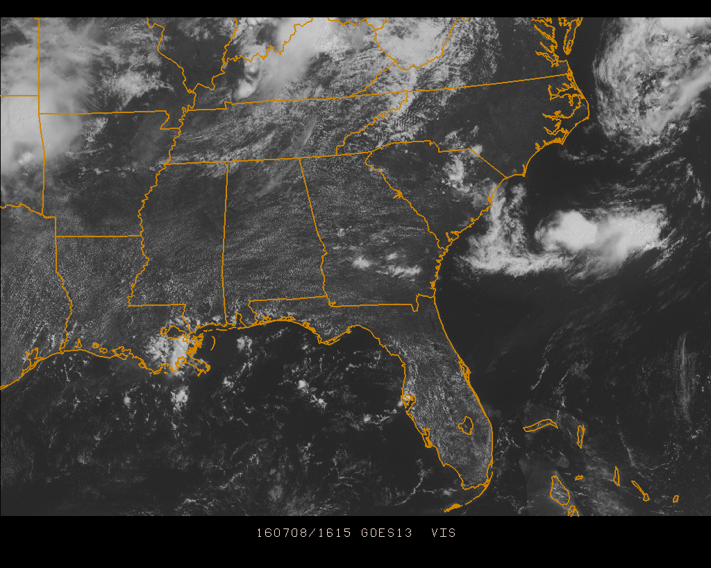
Skies across Central Alabama at this hour are mostly clear with just a few fair-weather cumulus clouds floating overhead. Radar is clear at this time, and will stay that way for the remainder of the day. With an upper ridge and a warm front aloft in control of our weather today, the risk of rain is so small that its not even worth mentioning it. Afternoon highs will be in the mid to upper 90s across Central Alabama, with heat indicies in the low 100s.
Most communities in the area are already up into the upper 80s to the low 90s.
Here is a list of temperature observations from across the state:
Birmingham 90
Tuscaloosa 89
Gadsden 89
Anniston 88
Cullman 87
Decatur 90
Huntsville 90
Muscle Shoals 91
Alexander City 88
Montgomery 92
CODE GREEN AIR QUALITY: The Air Quality Index for the Birmingham Metropolitan Area will be in the “Code Green” for ozone and particulate matter 2.5. No action needed today.
TODAY’S CLIMATOLOGY FOR BIRMINGHAM: The normal high for July 8th is 90, while the normal low is 69. The record high for today was set back in 1977 at 104. The record low was set back in 1947 at 60.
WEEKEND WEATHER: The ridge weakens, opening the door for the return of scattered showers and thunderstorms. Best chance of a passing shower or storm will come during the afternoon and evening hours, but we can’t rule out a late night or morning shower. Highest coverage will come Sunday, but even then it won’t rain everywhere due to the scattered nature of summer thunderstorms. Unfortunately it is impossible to forecast placement and timing of summer storms, but if you have something planned outdoors just be aware that a rain delay is very possible. Expect a high between 92 and 95 tomorrow, and closer to 90 Sunday with a mix of sun and clouds both days
HEADED TO THE BEACH: Mostly sunny days, fair nights, and only isolated thunderstorms from Panama City Beach to Gulf Shores through early next week. Highs on the immediate coast between 87 and 90, with mid 90s inland. The sea water temperature early this morning at the Dauphin Island Sea Lab is 87 degrees. See a very detailed Gulf Coast forecast here.
THE TROPICS: Tropical storm formation is not expected across the Atlantic basin through early next week.
WEATHERBRAINS: This is the show all about weather featuring many familiar voices, including our meteorologists at ABC 33/40. This week’s show featured a discussion of the West Virginia flood event from a couple of weeks ago. You can listen anytime on the web, or on iTunes. You can find it here.
ADVERTISE WITH US: Deliver your message to a highly engaged audience by advertising on the AlabamaWX.com website. The site enjoyed 10.2 MILLION pageviews in the past 12 months. Don’t miss out! We can customize a creative, flexible and affordable package that will suit your organization’s needs. Contact Bill Murray at (205) 687-0782.
Category: Alabama's Weather
About the Author (Author Profile)
Scott Martin is an operational meteorologist, professional graphic artist, musician, husband, and father. Not only is Scott a member of the National Weather Association, but he is also the Central Alabama Chapter of the NWA president. Scott is also the co-founder of Racecast Weather, which provides forecasts for many racing series across the USA. He also supplies forecasts for the BassMaster Elite Series events including the BassMaster Classic.Subscribe
If you enjoyed this article, subscribe to receive more just like it.


