

Midday Nowcast: An Increase in Rain Coverage Possible Today
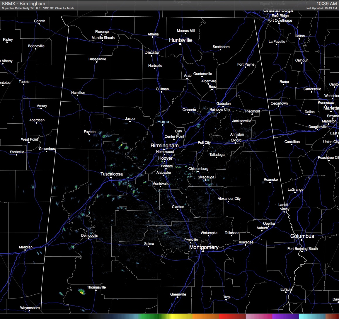
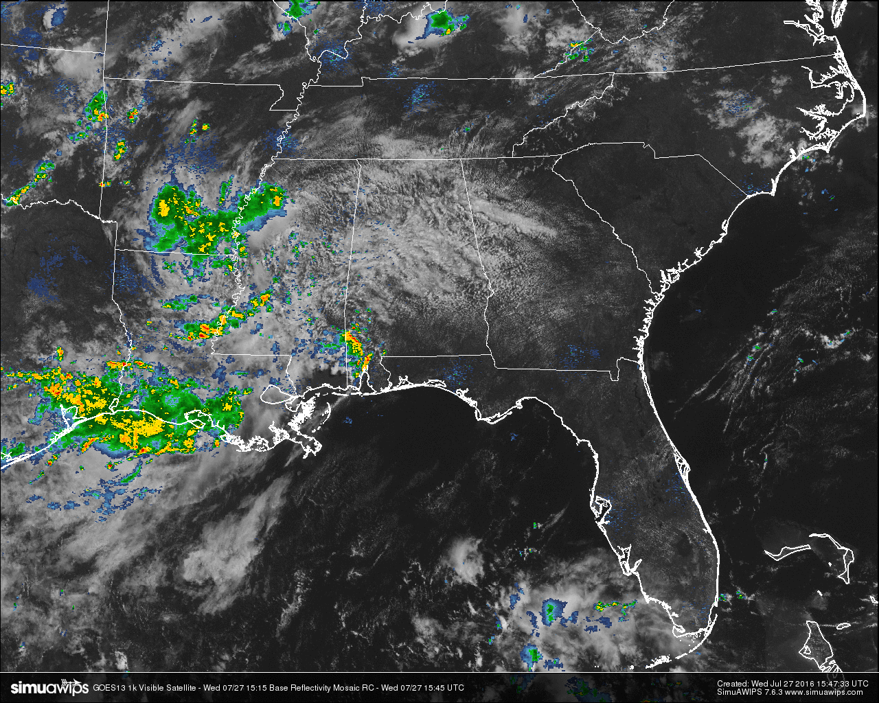
With skies partly to mostly cloudy across the Central Alabama area at this hour, temperatures are really being held back from what we have seen this month. Unfortunately it will not seem all that cooler because of the higher dew point readings, and highs in the upper 80s will still feel like mid to upper 90s. There are a few spotty showers out there across the central parts of the area, and we should expect these to expand in coverage later today. I’m hoping that they do because my garden hose is a pain to pull across the yard to water our garden. Free water would be nice today.
TEMPERATURES AT THIS HOUR: Like I said earlier, temperatures for this part of the day are really being held back by the cloud cover and the shower activity that is out there. Here is a list of temperature observations from across the area:
Birmingham 81
Tuscaloosa 80
Gadsden 81
Anniston 78
Cullman 81
Hamilton 81
Clanton 81
Alexander City 79
Montgomery 84
WHAT TO EXPECT FOR TODAY: Expect mostly cloudy to cloudy skies over the area with an increased chance of scattered showers and thunderstorms. Not everyone will get rain today, but the odds for any one spot getting rain will be about 1 in 3. Afternoon highs will be in the upper 80s to just over 90 for most spots in Central Alabama. Even though high temperatures will be down a little, the higher dew points will not make it feel any cooler.
CODE GREEN AIR QUALITY: The Air Quality Index for the Birmingham Metropolitan Area will be in the “Code Green” for ozone and particulate matter 2.5. No actions needed for today.
TODAY’S CLIMATOLOGY FOR BIRMINGHAM: The normal high for July 27th is 91, while the normal low is 70. The record high for today was set back in 1952 at 102. The record low was set back in 1911 at 59.
THURSDAY’S OUTLOOK: With a weakness in the upper ridge across the deep south, we’ll have a better chance of rain tomorrow and in to Friday. So expect a mix of sun and clouds, with a 50/50 chance of showers and thunderstorms. Afternoon highs will be in the upper 80s to 90 degrees. Not everyone will get rainfall, but between today and Friday many communities should see at least one decent downpour.
HEADED TO THE BEACH: About 7 to 9 hours of sunshine on the coast through the weekend with a passing storm from time to time from Gulf Shores to Panama City Beach; highs on the immediate coast 87-90, with low to mid 90s inland. See a very detailed Gulf Coast forecast here.
THE TROPICS: Still no sign of any tropical mischief across the Atlantic basin through the weekend.
WEATHERBRAINS: This is the show all about weather featuring many familiar voices, including our meteorologists at ABC 33/40. You can listen anytime on the web, or on iTunes. You can find it here.
ADVERTISE WITH US: Deliver your message to a highly engaged audience by advertising on the AlabamaWX.com website. The site enjoyed 10.2 MILLION pageviews in the past 12 months. Don’t miss out! We can customize a creative, flexible and affordable package that will suit your organization’s needs. Contact Bill Murray at (205) 687-0782.
Category: Uncategorized
About the Author (Author Profile)
Scott Martin is an operational meteorologist, professional graphic artist, musician, husband, and father. Not only is Scott a member of the National Weather Association, but he is also the Central Alabama Chapter of the NWA president. Scott is also the co-founder of Racecast Weather, which provides forecasts for many racing series across the USA. He also supplies forecasts for the BassMaster Elite Series events including the BassMaster Classic.Subscribe
If you enjoyed this article, subscribe to receive more just like it.


