

Scattered Showers and Storms Have Formed, Mainly in Areas East of I-59.
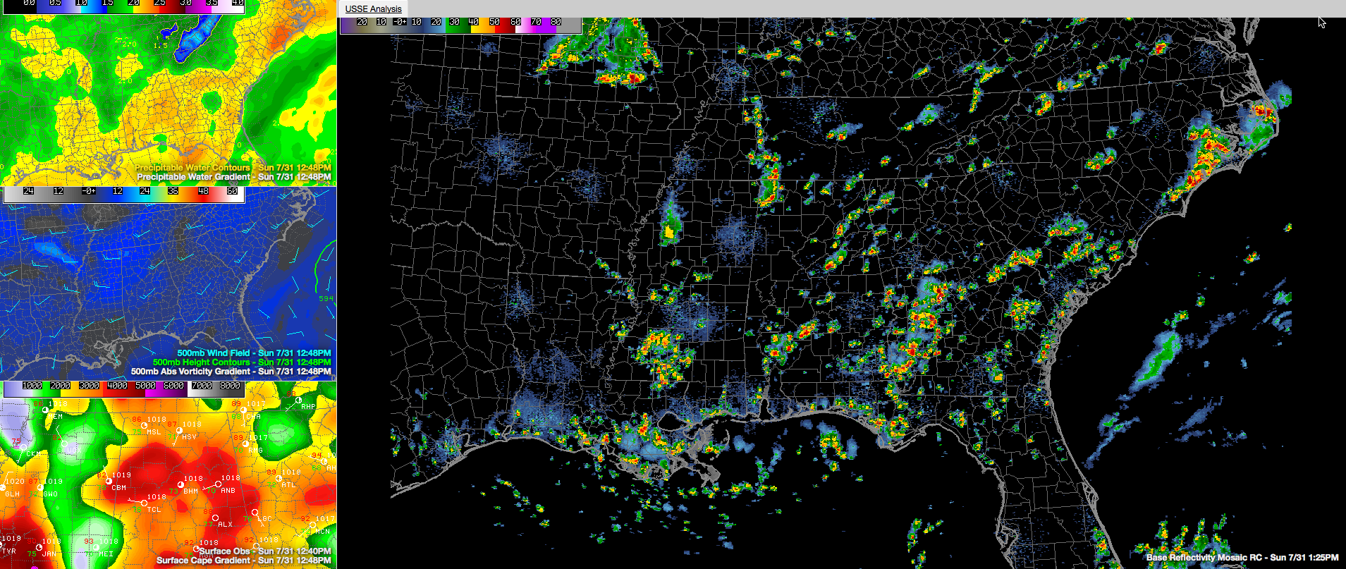
Showers and thunderstorms have formed this afternoon in areas mainly along and east of I-59. This corresponds nicely to the area of higher precipitable water values. It is also ahead of a weakening upper level disturbance that is passing across Central Alabama. Showers and storms will continue ahead of the disturbance as it interacts with the higher moisture content air.
Storms that form in the higher moisture will be capable of producing very heavy rainfall in short periods of time. Much like yesterday, when 1.33 inches of rain fell at the Birmingham Airport in just twenty minutes. There will be gusty winds, although the threat of damaging winds is fairly low today.
Sinking air behind the disturbance may keep a lid on most of the convection to the west of the disturbance, but the airmass over western Alabama it very unstable and there will be isolated storms through the afternoon.
Additional showers and storms are forming from Mississippi into southern Tennessee in an area of enhanced vorticity or spin. There is a nice cluster of storms over Franklin, Colbert and Lauderdale Counties in Northwest Alabama. Storms that are associated with this vorticity will impact western Alabama over the next few hours, but they shouldn’t get out of hand.
Temperatures are warming into the upper 80s to near 90F early this afternoon and will peak in the lower and middle 90s.
Category: Uncategorized
About the Author (Author Profile)
Bill Murray is the President of The Weather Factory. He is the site's official weather historian and a weekend forecaster. He also anchors the site's severe weather coverage. Bill Murray is the proud holder of National Weather Association Digital Seal #0001 @wxhistorianSubscribe
If you enjoyed this article, subscribe to receive more just like it.


