

Midday Nowcast: Hot and Dry Day… Again.
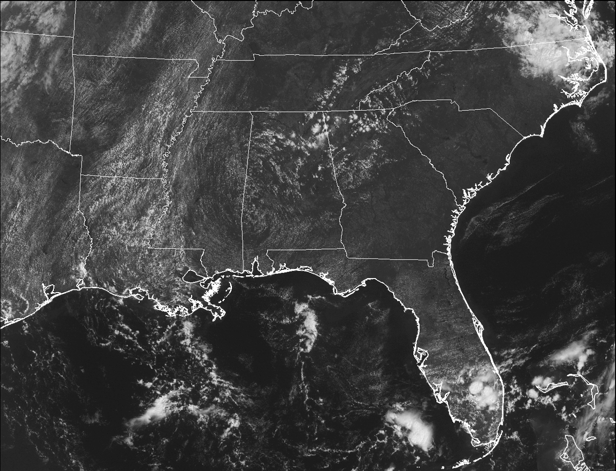
IT’S ANOTHER HOT DAY OUT THERE: Skies across Central Alabama at this midday hour are mostly sunny and that is allowing the temperatures to rise without and resistance. Radar is bone dry as well, and is expected to be that way for the remainder of the day. Afternoon highs will be in the mid 90s for most spots, but the good news is that humidity levels won’t be bad with low dew points remaining in place.
AIR QUALITY ALERT: A “code orange” alert has been issued for Jefferson/Shelby Counties for today due potential for ground level ozone.
TEMPERATURES ACROSS CENTRAL ALABAMA AT THIS HOUR:
Birmingham 90
Tuscaloosa 90
Gadsden 88
Anniston 90
Cullman 88
Jasper 93
Alexander City 90
Auburn 90
Selma 88
Montgomery 91
NORMS AND RECS FOR TODAY IN BIRMINGHAM: The normal high for September 7th is 87, while the normal low is 66. The record high for today was set back in 1925 at 104. The record low was set back in 1984 at 50.
THURSDAY’S FORECAST: Same as today… Hot and mostly sunny, with afternoon highs once again back in the mid 90s for most spots in Central Alabama. No chance of rain.
HEADED TO THE BEACH: Mostly sunny days, fair nights, and only widely scattered storms along the coast from Gulf Shores to Panama City Beach through the weekend. Highs in the upper 80s on the immediate coast, with low 90s inland. See a very detailed Gulf Coast forecast here.

THE TROPICS: We are down to just one tropical disturbance to watch in the Atlantic basin (for now)… a wave in the eastern Atlantic has a high chance of developing over the next five days, but it remains to be seen if this will recurve over open water, or impact any landmass.
ON THIS DAY IN 1987: Showers and thunderstorms produced 4 to 8 inch rains in three to six hours in Virginia, with totals across the state for the Labor Day weekend ranging up to fourteen inches. The Staunton River crested at 34.44 feet at Altavista on the 8th, its highest level since 1940. Damage due to flooding was estimated at seven million dollars around Bedford, Henry, and Franklin.
THE BLOG IS ON TWITTER: Be sure to follow the Alabama Wx Weather Blog on Twitter. Just click here to start following our feed.
WEATHERBRAINS: This is the show all about weather featuring many familiar voices, including our meteorologists at ABC 33/40. You can listen anytime on the web, or on iTunes. You can find it here.
ADVERTISE WITH US: Deliver your message to a highly engaged audience by advertising on the AlabamaWX.com website. The site enjoyed 10.2 MILLION pageviews in the past 12 months. Don’t miss out! We can customize a creative, flexible and affordable package that will suit your organization’s needs. Contact Bill Murray at (205) 687-0782.
Category: Alabama's Weather
About the Author (Author Profile)
Scott Martin is an operational meteorologist, professional graphic artist, musician, husband, and father. Not only is Scott a member of the National Weather Association, but he is also the Central Alabama Chapter of the NWA president. Scott is also the co-founder of Racecast Weather, which provides forecasts for many racing series across the USA. He also supplies forecasts for the BassMaster Elite Series events including the BassMaster Classic.Subscribe
If you enjoyed this article, subscribe to receive more just like it.


