Sunday Late Morning Update: A Little Light Rain Over Areas North and East of Birmingham
An upper level disturbance pushing into Alabama from the northwest is triggering some patches of very light rain over Northeast Alabama in areas north and east of Birmingham.
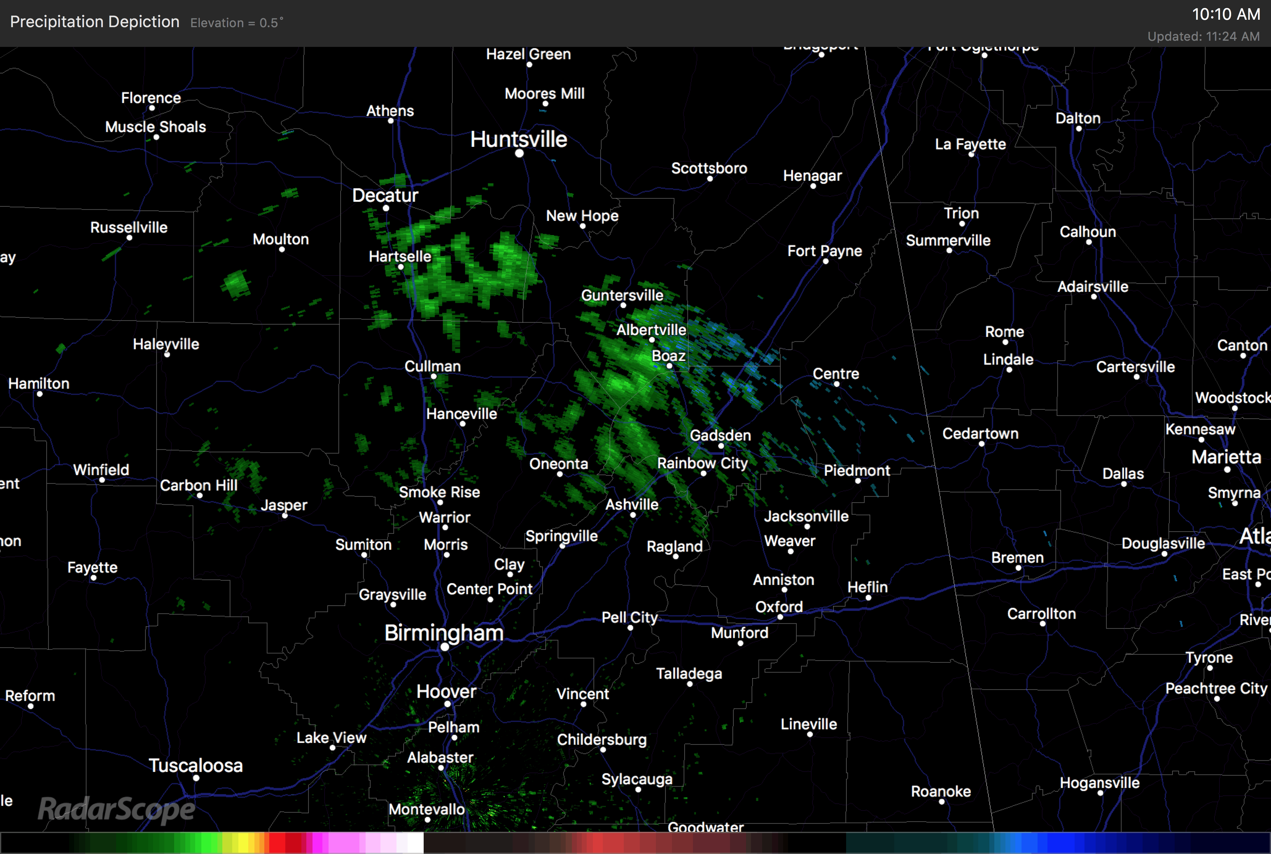
No first order reporting stations are seeing any rain at this hour, but there was one MPING report of some light snow south of Florence around 10:30 a.m. And the Radarscope precipitation type algorithms were showing the potential for some light mixed precip over Northeast Alabama about that same time, but temperatures have warmed even more since then and the chance of seeing anything other than rain is practically nil.
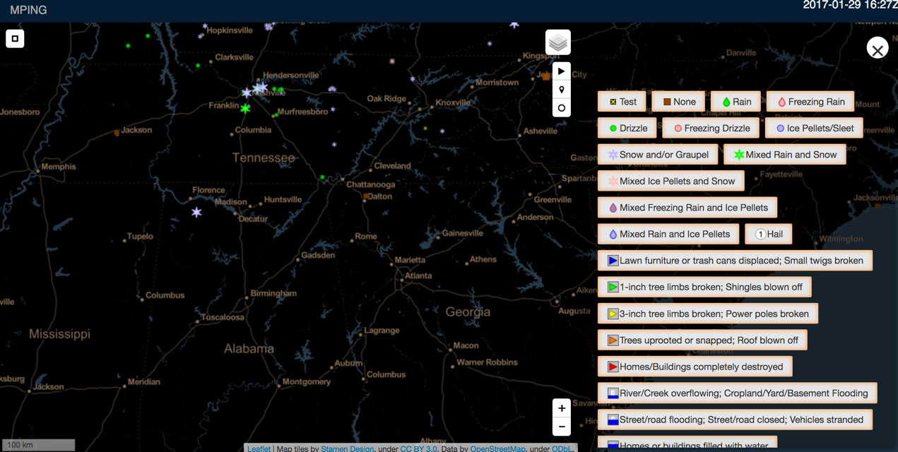
MPING reports from citizen scientists across the south at around 10:30 this morning, when there was a single solitary report of snow south of Florence.
There will be some clearing across North Alabama before colder air aloft associated with the disturbance brings instability and some stratocumulus clouds across that area. Clearing will spread across the rest of Central Alabama during the afternoon.
Skies are mostly cloudy north of US-278 with partly cloudy skies to about Montgomery, where clouds really start thinning out the further south you go with totally sunny skies over South Alabama. Highs will be in the upper 40s over NOrth Alabama today, with lower 50s in the I-20 Corridor and upper 50s the further south that you go.
Category: Alabama's Weather
About the Author (Author Profile)
Bill Murray is the President of The Weather Factory. He is the site's official weather historian and a weekend forecaster. He also anchors the site's severe weather coverage. Bill Murray is the proud holder of National Weather Association Digital Seal #0001 @wxhistorianSubscribe
If you enjoyed this article, subscribe to receive more just like it.


