Midday Nowcast: Hot, Humid, Scattered Storms
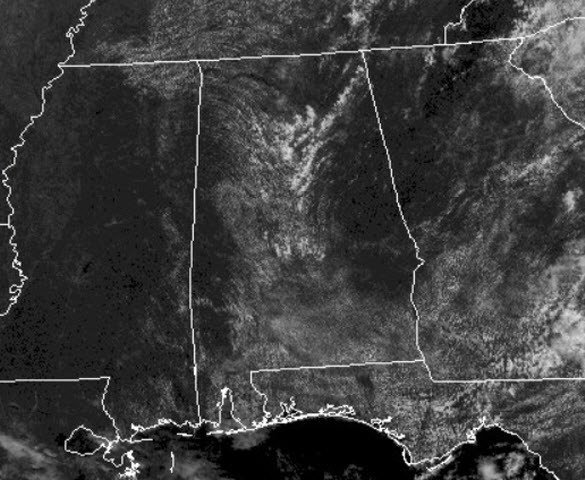
We are seeing more sun than clouds at midday and that has allowed temperatures to warm well into the 80s, with a few 90s at midday.
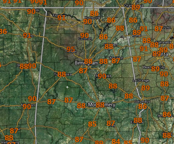
Add in those dew points in the mid and upper 70s and it is down right uncomfortable out there today. There is plenty of moisture in place to provide fuel for showers and storms.
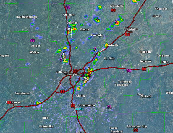
Through the morning hours, we have been dry, but a quick look at the radar at midday, showers and storms are starting to develop along the I-65 corridor and impacting portions of Jefferson, Blount, Cullman, Shelby, Etowah and St. Clair counties, with a general movement towards the south.
Though we are seeing this development, the overall coverage of showers and storms will be less today compared to recent days. These storms are very random in placement, there is no way of knowing where they will occur, and these storms will be capable of producing lots of dangerous lightning, and tremendous amounts of rainfall that could result in flash flooding. Two things we have to continue communicating when it comes to summer time storms, WHEN THUNDER ROARS, GO INDOORS! and TURN AROUND, DON’T DROWN!
For the rest of today, we are going to see these scattered showers and storms persist and where it is not raining, temperatures will head into the lower and mid 90s. Storms will gradually wind down after sunset with the loss of daytime heating. It will be a mainly clear night, with a few areas of patchy fog overnight. Lows should settle into the mid 70s.
Category: Alabama's Weather, ALL POSTS
About the Author (Author Profile)
Macon, Georgia Television Chief Meteorologist, Birmingham native, and long time Contributor on AlabamaWX. Stormchaser. I did not choose Weather, it chose Me. College Football Fanatic. @Ryan_StinnetSubscribe
If you enjoyed this article, subscribe to receive more just like it.


