A Quick Check On Our Weather Situation At 2:25 PM
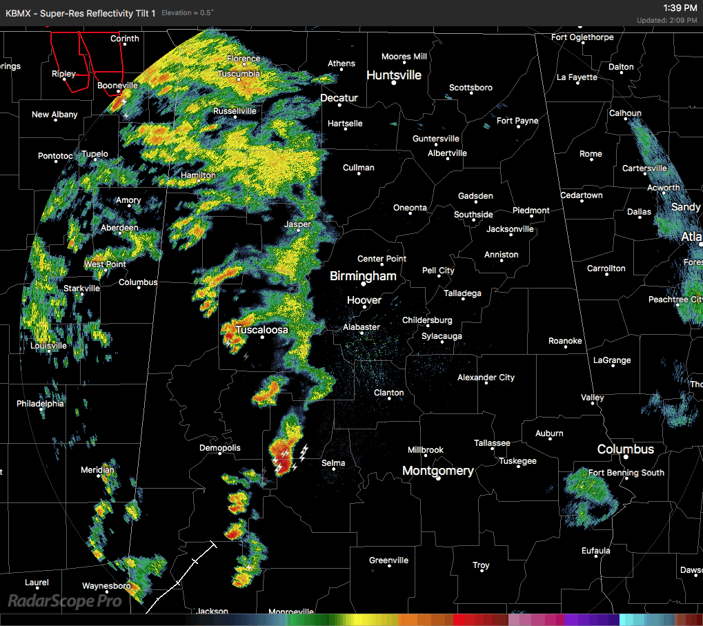
The eastern half of Central Alabama is dry at this point, with only scattered showers and storms over the western half. At this point, much of the tornadic action has stayed to our northwest in the northern parts of Mississippi and up into western Tennessee. So far, no warnings have been issued for our area, and the intensity of the showers and storms are really starting to drop off some. There have been a few reports of wall cloud sightings up towards Millport, and there may have been a brief touchdown, but at this point we do not have any reports of damage.
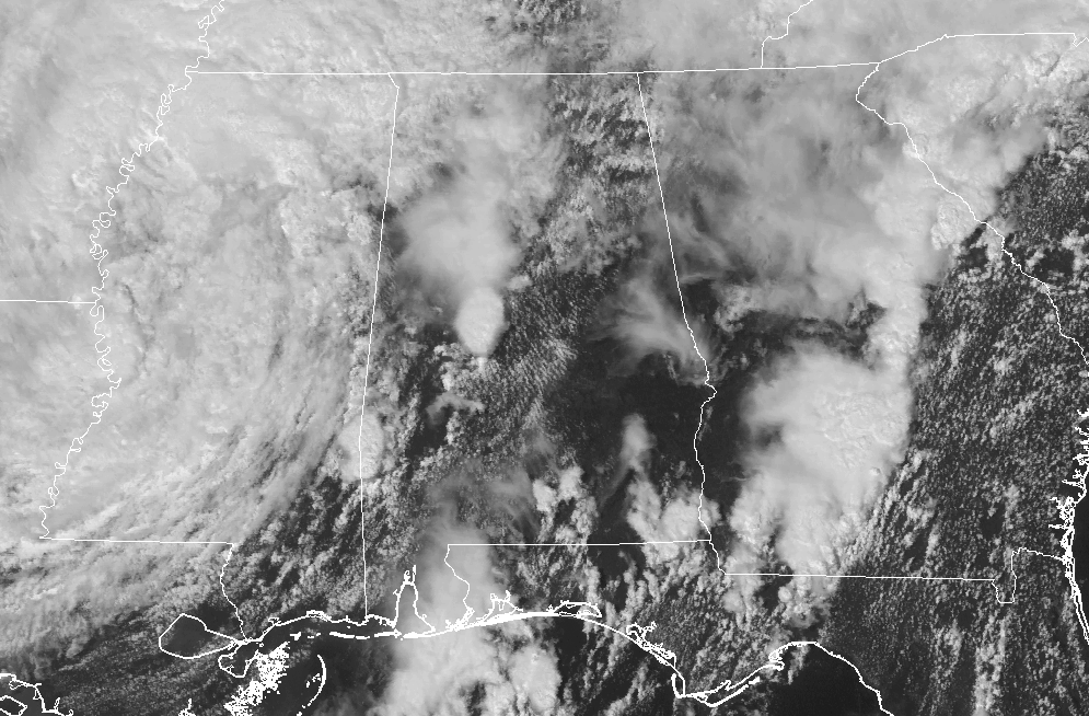
We still have breaks in the clouds allowing for the sun to heat up the surface a little more, and this is allowing the surface instability values to rise above 2000 J/kg. Helicity values are still above 150 m2/s2 which means rotating updrafts are possible. Instability will continue to rise along and south of the I-20 corridor and we continue to have a risk for rotating updrafts and a few tornadoes.
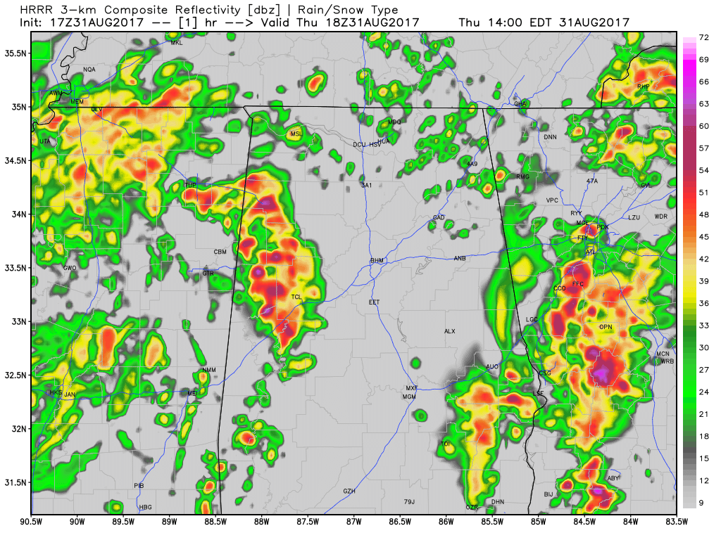
We have a lull in the activity as of now, but we do have more showers and storms that will be moving into the state in a little bit. We’ll continue to watch these for strengthening and for any rotation.
Tomorrow, rain chances will be greatly reduced as drier air aloft moves in behind the remnants of Harvey.
Let’s still keep our eyes on the weather and keep your smartphones and NOAA Weather Radios handy. We’ll also keep you updated on the AlabamaWx Weather Blog.
Category: Alabama's Weather, ALL POSTS
About the Author (Author Profile)
Scott Martin is an operational meteorologist, professional graphic artist, musician, husband, and father. Not only is Scott a member of the National Weather Association, but he is also the Central Alabama Chapter of the NWA president. Scott is also the co-founder of Racecast Weather, which provides forecasts for many racing series across the USA. He also supplies forecasts for the BassMaster Elite Series events including the BassMaster Classic.Subscribe
If you enjoyed this article, subscribe to receive more just like it.


