Not Too Bad Out There At Midday
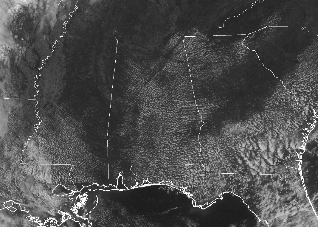
Other than a few cumulus clouds floating overhead, much of Central Alabama is experiencing a rather nice and sunny day. Temperatures at this point are running in the upper 70s to the mid-80s throughout the area, with the 1:40 PM Birmingham reading at 79 degrees. Montgomery and Eufaula are both reading 86 degrees, tied as the current warm spots. Cullman and Haleyville are tied as the cold spots, both coming in at 79 degrees.
FOR THE REST OF YOUR TUESDAY
It will continue to be a mostly sunny and quite warm day across Central Alabama for the remainder of the afternoon and early evening hours. Afternoon highs will be in the lower to mid-80s throughout the area, which is just a few degrees above normal. Those clear skies will continue throughout the late evening and the overnight hours, with lows dipping into the upper 50s to the mid-60s.
SAME WEATHER ON WEDNESDAY AS WELL
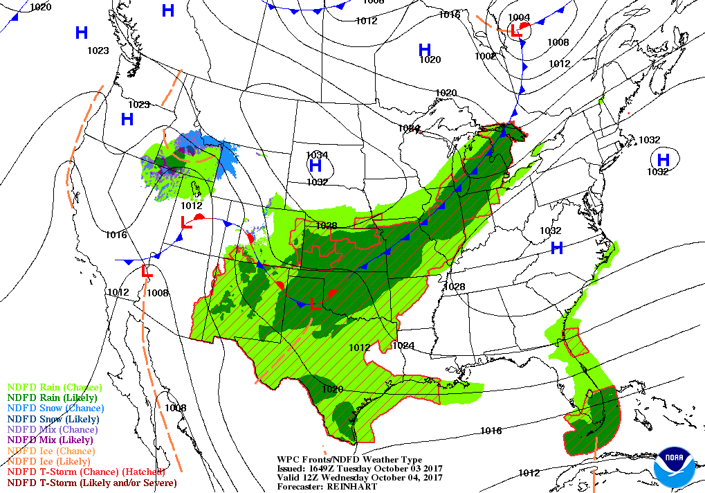
I can just copy and paste the forecast from today for Wednesday… Mostly sunny skies and warm throughout the area, with afternoon highs in the lower to mid-80s. Wednesday evening through the overnight hours into Thursday morning will be mainly clear with lows once again in the upper 50s to the mid-60s.
TRACKING THE TROPICS (SORRY, COULDN’T RESIST)
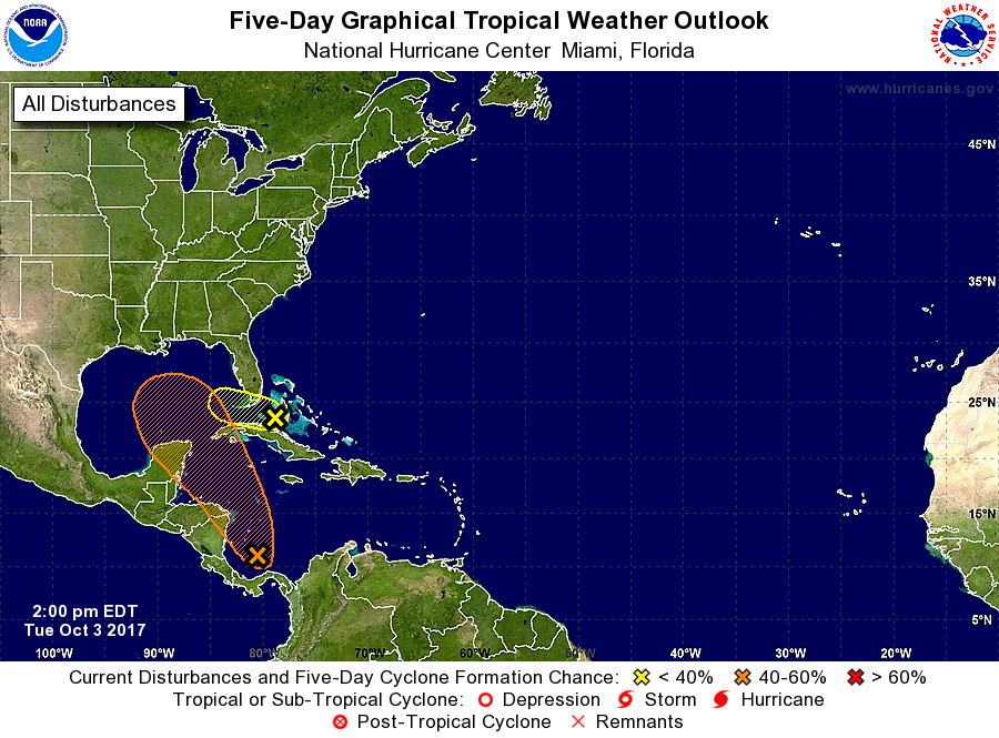
We actually have two areas of concern out there in the basin that bears watching. The first disturbance is located in the southwestern Caribbean Sea and is forecast to drift northward into the Gulf of Mexico by the weekend. Conditions are favorable for development and could become a tropical depression within the next few days. This disturbance could bring rain to Alabama by the weekend, so we’ll need to keep a close eye on this one.
The second disturbance is located over Cuba and is producing a large area of rain, but the good news is that strong upper-level winds should keep this one from developing. Heavy rains and gusty winds can be expected over parts of the Bahamas and Florida during the next few days.
Stay up-to-date with the latest updates on all of the tropical systems out in the Atlantic Ocean, Caribbean Sea, or in the Gulf of Mexico with the latest posts in our Tropical Weather section. Click here to see the latest.
GULF COAST WEATHER
Be sure to keep up to date with the detailed forecasts from Fort Morgan over to Panama City Beach with the AlabamaWx Weather Blog. Click here to see the AlabamaWx Beach Forecast Center page.
The Beach Forecast is partially underwritten by the support of Brett/Robinson Vacation Rentals in Gulf Shores and Orange Beach. Click here to see Brett/Robinson’s Off Season Deals now!
ON THIS DAY IN WEATHER HISTORY
1841 – An October gale, the worst of record for Nantucket, MA, caught the Cap Cod fishing fleet at sea. Forty ships were driven ashore on Cape Cod, and 57 men perished from the town of Truro alone. Heavy snow fell inland, with 18 inches near Middletown, CT.
WEATHERBRAINS
Check out the show at www.WeatherBrains.com. You can also subscribe on iTunes. You can watch the show live at live.bigbrainsmedia.com on Monday nights starting at 8:30 PM CDT. You will be able to see the show on the James Spann 24×7 weather channel on cable or directly over the air on the dot 2 feed.
Category: Alabama's Weather, ALL POSTS
About the Author (Author Profile)
Scott Martin is an operational meteorologist, professional graphic artist, musician, husband, and father. Not only is Scott a member of the National Weather Association, but he is also the Central Alabama Chapter of the NWA president. Scott is also the co-founder of Racecast Weather, which provides forecasts for many racing series across the USA. He also supplies forecasts for the BassMaster Elite Series events including the BassMaster Classic.Subscribe
If you enjoyed this article, subscribe to receive more just like it.


