More Clouds Than Sun At Midday Across Central Alabama
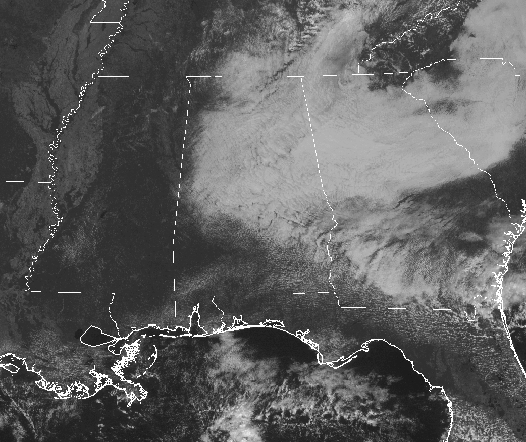
With high pressure located off to our east over northern South Carolina, we have an eastern flow across Central Alabama, and that is pulling cloud cover in across the area from the east. Good news at this point is that there is absolutely no rain on radar, and it will continue to be that way throughout the rest of the day. that will make those football and race fans happy. Temperatures at this point are running in the lower 70s to the lower 80s throughout the area, with the cooler temperatures mainly where the cloud cover is thickest. Birmingham is currently at 73 degrees.
The Rest Of The Central Alabama Weekend
For the rest of today, we will see partly to mostly cloudy skies thanks to the flow of clouds coming in from the east, holding the afternoon highs back by a few degrees. Afternoon highs will be in the mid to upper 80s. Skies will remain partly to mostly cloudy throughout the evening and overnight hours, and overnight lows will be in the mid to upper 60s.
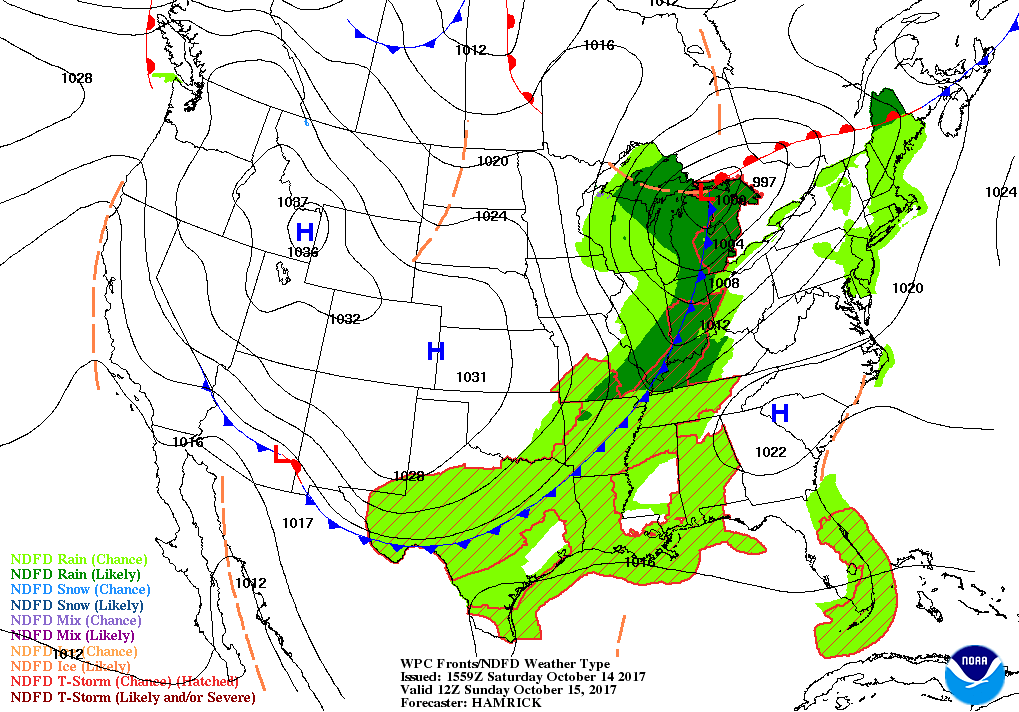
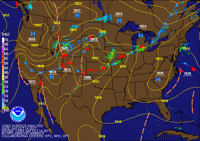
Ridging breaks down as the cold front gets closer and starts to invade the area on Sunday. We may have a few isolated to scattered showers and storms out there during the afternoon hours, but coverage will increase later on Sunday afternoon and well into the pre-dawn hours on Monday. Rain amounts will be around or less than 1/4 inch. Highs will be in the mid to upper 80s for most, with lower 80s in the north. Overnight lows will be in the lower 50s to the mid-60s.
Race Weekend At Talladega
Great weather out at the superspeedway today, with mostly sunny skies and the afternoon high around 84 degrees. Sunday will have increased moisture levels and a slight chance of an isolated shower or storm during the afternoon hours. Skies will be partly cloudy with the high around 83 degrees. Chance of rain will be around 30%.
The Work Week Ahead
We’ll have nearly perfect fall weather throughout Central Alabama for next week… We may have a few left over showers on Monday in the southeastern parts of the area after the passage of the cold front, but dry conditions can be expected throughout the end of the forecast period on Friday, with mainly clear skies and afternoon highs in the 70s each day.
Ophelia Becomes A Major Hurricane, Headed Towards Ireland
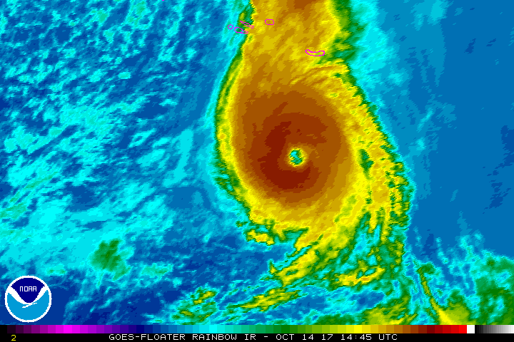
Hurricane Ophelia has made it to category 3 strength with maximum sustained winds at 115 MPH. She is moving to the northeast at 25 MPH and is currently south of the Azores. Even though Ophelia is expected to become post-tropical, she is expected to remain a hurricane when making landfall in Ireland on Monday. The last time a hurricane struck the shores of Ireland was Debbie on September 16th back in 1961. The highest wind gust from Debbie of 107 MPH was recorded at Shannon Airport.
Ophelia makes the sixth major hurricane of the 2017 season, joining Harvey, Irma, Jose, Lee, and Maria. At this point, the 2017 Atlantic Hurricane Season is tied for 3rd place in most major hurricanes in a single season, behind 1950 (8) and 2005 (7).
Closer To Home In The Tropics
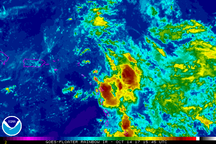
A broad area of low pressure now known as Invest 92L is slowly approaching the Leeward Islands, with most of the activity east of the center. Development is unlikely over the next couple of days, but conditions will become more favorable early next week. It is expected to recurve off away from any land and will not be a threat to the US Mainland.
Stay up-to-date with the latest updates on all of the tropical systems out in the Atlantic Ocean, Caribbean Sea, or in the Gulf of Mexico with the latest posts in our Tropical Weather category. Click here to see the latest.
The Blog Is On Social Media, So Follow Us There
Twitter: @alabamawxblog
Facebook: @alabamawxblog
WeatherBrains
Check out the show at www.WeatherBrains.com. You can also subscribe on iTunes. You can watch the show live at live.bigbrainsmedia.com on Monday nights starting at 8:30 PM CDT. You will be able to see the show on the James Spann 24×7 weather channel on cable or directly over the air on the dot 2 feed.
Category: Alabama's Weather, ALL POSTS
About the Author (Author Profile)
Scott Martin is an operational meteorologist, professional graphic artist, musician, husband, and father. Not only is Scott a member of the National Weather Association, but he is also the Central Alabama Chapter of the NWA president. Scott is also the co-founder of Racecast Weather, which provides forecasts for many racing series across the USA. He also supplies forecasts for the BassMaster Elite Series events including the BassMaster Classic.Subscribe
If you enjoyed this article, subscribe to receive more just like it.


