A Blustery, Chilly Saturday Ahead
A cold front is knifing through the state this morning, bringing much colder air to the state again. The culprit is another high amplitude trough that is progressing out of the Central United States.
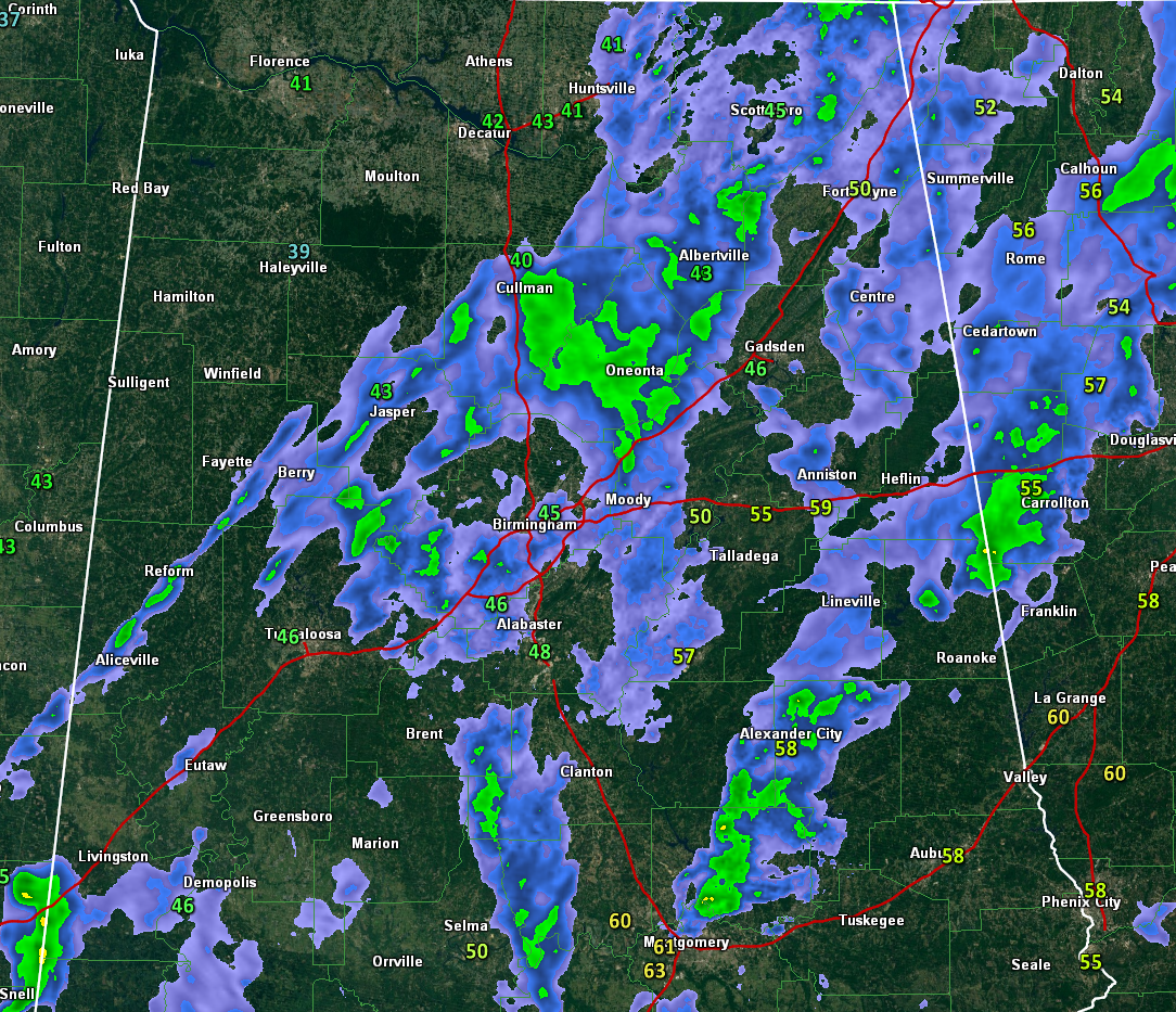
Showers are beginning to move out of Alabama early this morning. Here is the radar at 7 a.m.:
RAIN BUCKET: Rainfall amounts overnight were decent, averaging one half to one inch, with some high amounts mainly over Northwest and North Central Alabama in places like Vernon, Natural Bridge, Falkville and on top of Sand Mountain in Northeast Alabama.
SATURDAY HIGHS: HIghs today will struggle to get out of the 50s in many places across Central Alabama. Skies will begin to clear from the west by afternoon, but sunshine probably won’t reach I-65 until after 3 p.m., not aiding the temperature rise very much.
FROST ON THE PUMPKIN? Most areas should avoid a widespread frost tonight as winds blow steadily through the overnight hours. Lows will be generally between 33-37F. Some of the normally colder valleys could hit freezing briefly overnight though.
SUNDAY HIGHS: Despite a good supply of sunshine on Sunday, highs will top out only in the 50s, some 15-20 degrees below normal for this time of year.
FROST/FREEZE SUNDAY NIGHT: Winds will go calm Sunday evening which will allow for a widespread frost across the area with a few spots reaching freezing for a brief time. Prepare now to protect tender vegetation.
MONDAY MODERATION: The trough will lift out to the northeast by Monday allowing some moderation. Highs will be in the 60s Monday and Tuesday for the most part, and everyone should see lower 70s by Wednesday. Lows will be in the 40s Tuesday and Wednesday mornings, with 50s to near 60F for late in the week.
NEXT RAINFALL: An approaching disturbance and front will begin to trigger some showers across the area by Wednesday afternoon lingering into early Thursday. The front will begin to lose momentum but will make another run at the area Friday late into Saturday. This could spell showers for Friday night football and a few decreasing showers hopefully for Auburn fans in College Station and Alabama fans in Tuscaloosa.
FOOTBALL TODAY: The annual Magic City Classic (Alabama State vs Alabama A&M) kicks off at 2:30 at Legion Field… it will be cloudy, breezy, and cold with temperatures hovering in the upper 40s during the game. The rain should end in Birmingham by mid to late morning.
UAB plays Southern Mississippi at Hattiesburg (6:00p CT kickoff)… the weather will be breezy and cold with temperatures falling from 55 at kickoff, into the upper 40s by the fourth quarter. Rain over South Mississippi will end well before kickoff.
Jacksonville State will host Southeast Missouri State (3:00p CT kickoff)… it looks like most of the rain will be over by kickoff, otherwise cloudy, breezy, and cold with some drizzle and temperatures in the upper 40s and wind chill index values close to 40 degrees.
TROPICS: Potential Tropical Cyclone 18 is having a hard time getting its act together. An Air Force plane is enroute now to see if it is becoming organized enough to become a tropical depression or Tropical Storm Phillippe. It will bring squally weather and heavy rain to the Florida Keys and South Florida. Tropical storm force winds will be mainly on the east side of the center, over Cuba and the northwestern Bahamas.
AT THE BEACH: Be sure to keep up to date with the detailed forecasts from Fort Morgan over to Panama City Beach with the AlabamaWx Weather Blog. Click here to see the AlabamaWx Beach Forecast Center page.
The Beach Forecast is partially underwritten by the support of Brett/Robinson Vacation Rentals in Gulf Shores and Orange Beach. Click here to see Brett/Robinson’s Off Season Deals now!
WEATHERBRAINS: The weekly netcast that’s all about the weather will be about social media this week. What could go wrong, right? Check out the show at www.WeatherBrains.com. You can also subscribe on iTunes. You can watch the show live at live.bigbrainsmedia.com on Monday nights starting at 8:30 PM CDT. You will be able to see the show on the James Spann 24×7 weather channel on cable or directly over the air on the dot 2 feed.
ON THIS DATE IN 1998: A crew of thirty-one men aboard the Windjammer Cruises 282 foot long, four-masted sailboat, the Fantome, battled fifty-foot waves and 115 mph winds as Hurricane Mitch sealed their doom in the Caribbean. The crew put to sea to avoid being in port during the hurricane and spent two harrowing days as the storm unexpectedly turned towards them and then stalled. All that was ever found of the ship was two life rafts and 8 life vests off Honduras, stenciled “Fantome.”
I will be back with another Weather Xtreme Video tomorrow morning. Scott Martin will have a noonday weather update and we will be watching the system in the northwestern Caribbean through the weekend.
Category: Alabama's Weather, ALL POSTS
About the Author (Author Profile)
Bill Murray is the President of The Weather Factory. He is the site's official weather historian and a weekend forecaster. He also anchors the site's severe weather coverage. Bill Murray is the proud holder of National Weather Association Digital Seal #0001 @wxhistorianSubscribe
If you enjoyed this article, subscribe to receive more just like it.


