Dry This Week – Temps Up and Down
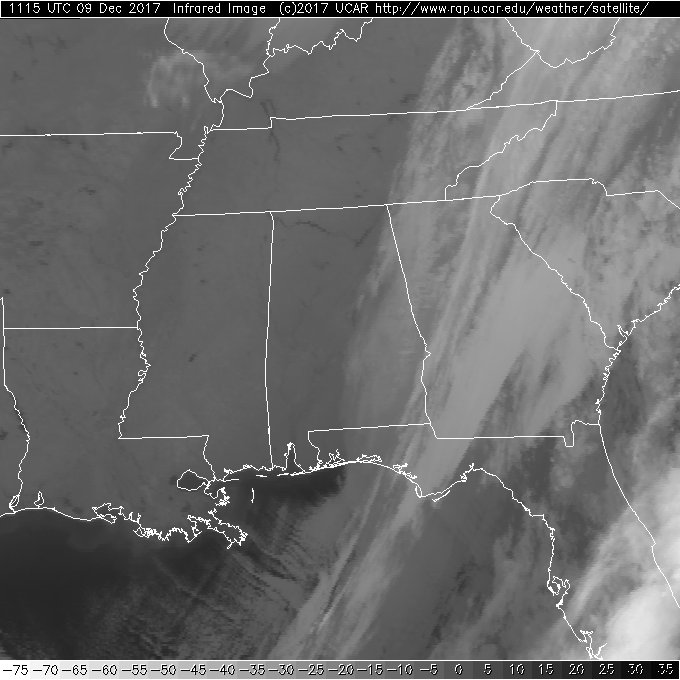
Special shoutout to John Hodge, Michelle Wilson, and my wife for the pictures of the snow from yesterday that start the video. The morning infrared satellite image showed clear skies across the western two-thirds of Alabama, so I will be anxiously awaiting the first visible imagery that should clearly delineate the heavy snow band from the amazing event yesterday. I really liked James Spann’s description of this storm as an “over performer.”
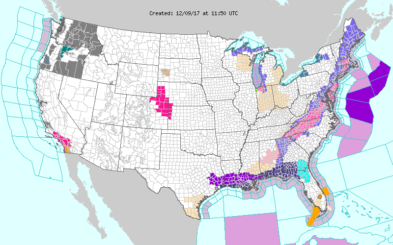
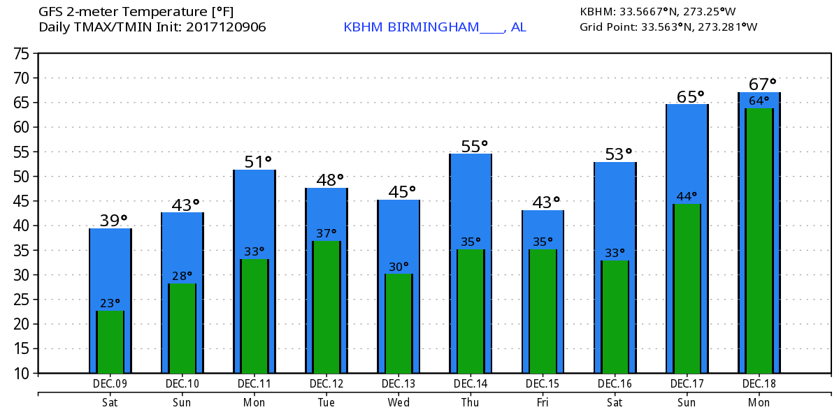
The storm system that brought winter weather to the Southeast US has moved off the Southeast US coast this morning, but numerous winter weather advisories and warning continued from East Central Alabama all the way to Maine! The upper trough was sliding across Georgia today, so I don’t expect to see highs today climb much higher near 40 for those areas with snow cover and lower 40s for other areas. Tonight the bottom will fall out of the temperatures with widespread 20s across North and Central Alabama. And those areas with snow cover and the normally colder locations will likely see Sunday morning lows in the 15 to 20 range.
Sunday the eastern US trough is in place and is likely to stay pretty much there through Friday with several reinforcing shots of cold air as short waves traverse the trough. East of the short waves, one Tuesday and another one early Friday would normally be capable of producing rain and storms, however, as you’ll see in the video, the atmosphere remains quite dry all week with precipitable water values below 7 tenths of an inch. Each short wave may bring some higher clouds, but rain is very unlikely. Look for lows to be in the 30s and 40s – after Sunday morning – while highs will be in the 40s and 50s. The 30-year average high and low for early December are 58 and 38, so most days in the coming week will be colder than our seasonal values.
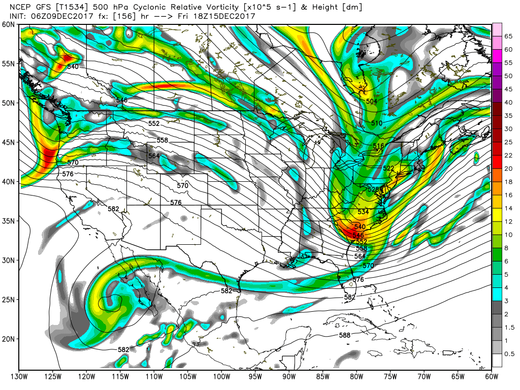
Looking out into voodoo country, the warmth of an upper ridge over the eastern US stays with us through the 18th of December. Another strong trough zips by on the 19th and 20th. This could be the next best chance at some rain as we see a return of moisture. Zonal flow marks the pattern on the 21st of December, and then the GFS promises another deep trough for the eastern US around the 24th of December. Based on this long range look, I have no confidence in any real potential of a white Christmas. But we all know the patterns that far out in voodoo can and will change.
Beach Forecast: Click here to see the AlabamaWx Beach Forecast Center page. The Beach Forecast is partially underwritten by the support of Brett/Robinson Vacation Rentals in Gulf Shores and Orange Beach. Click here to see Brett/Robinson’s Hot Deals now!
WeatherBrains: Don’t forget you can listen to our weekly 90 minute netcast anytime on the web, or on iTunes. This is the show all about weather featuring many familiar voices, including our meteorologists here at ABC 33/40.
I certainly hope that everyone had an opportunity to play in the snow yesterday. Since it should stick around for a good part of today, you have a second chance at doing that. I’ll have the next Weather Xtreme Video posted here around 7 am on Sunday. Enjoy the day, stay warm, and Godspeed.
-Brian-
Category: Alabama's Weather, ALL POSTS
About the Author (Author Profile)
Brian Peters is one of the television meteorologists at ABC3340 in Birmingham and a retired NWS Warning Coordination Meteorologist. He handles the weekend Weather Xtreme Videos and forecast discussion and is the Webmaster for the popular WeatherBrains podcast.Subscribe
If you enjoyed this article, subscribe to receive more just like it.


