A Midday Check On Our Weather Situation
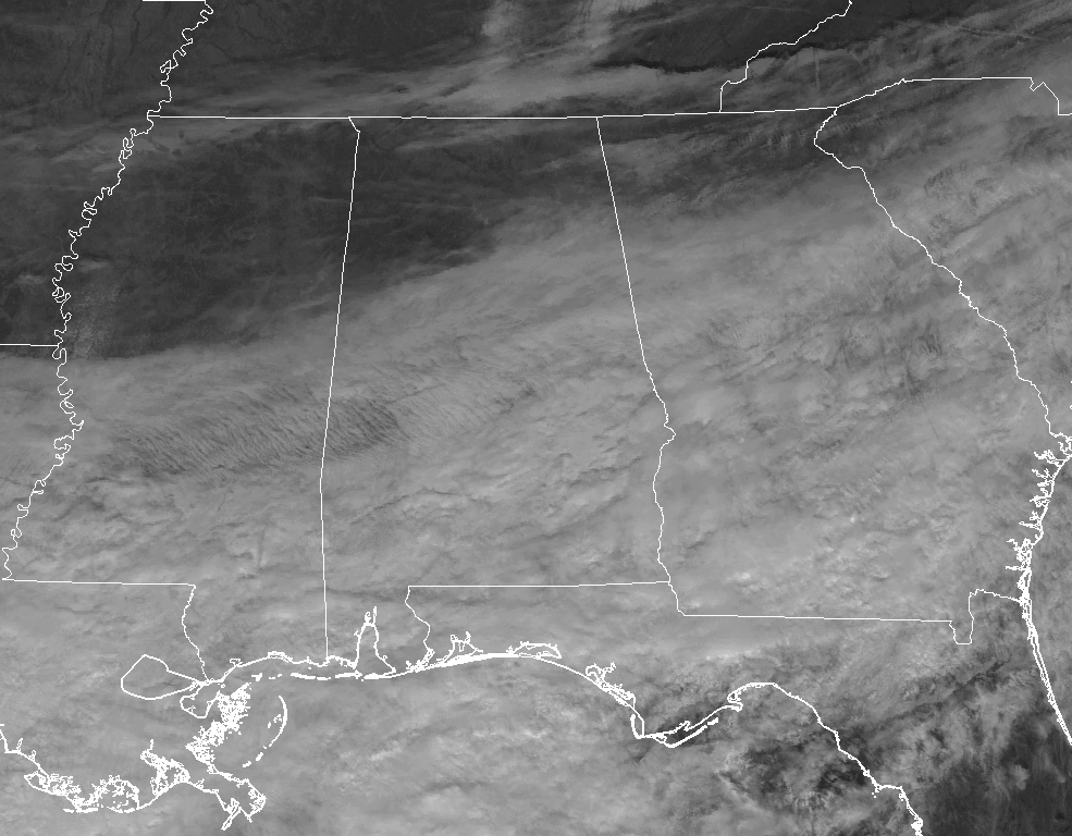
Some clearing is slowly moving southward through North Alabama and is very slowly making its way into the northern fringes of Central Alabama, but don’t expect the sunshine to help out much with warming it up any outside today. At 12:00 PM, temperatures are ranging from the lower 30s in the north to the mid-40s in the south. Birmingham is currently at 38 degrees, while Cullman is still at the freezing mark at 32 degrees. Those northerly winds are not helping out the situation at all as well, making those temperatures feel about 4-7 degrees cooler than actual.
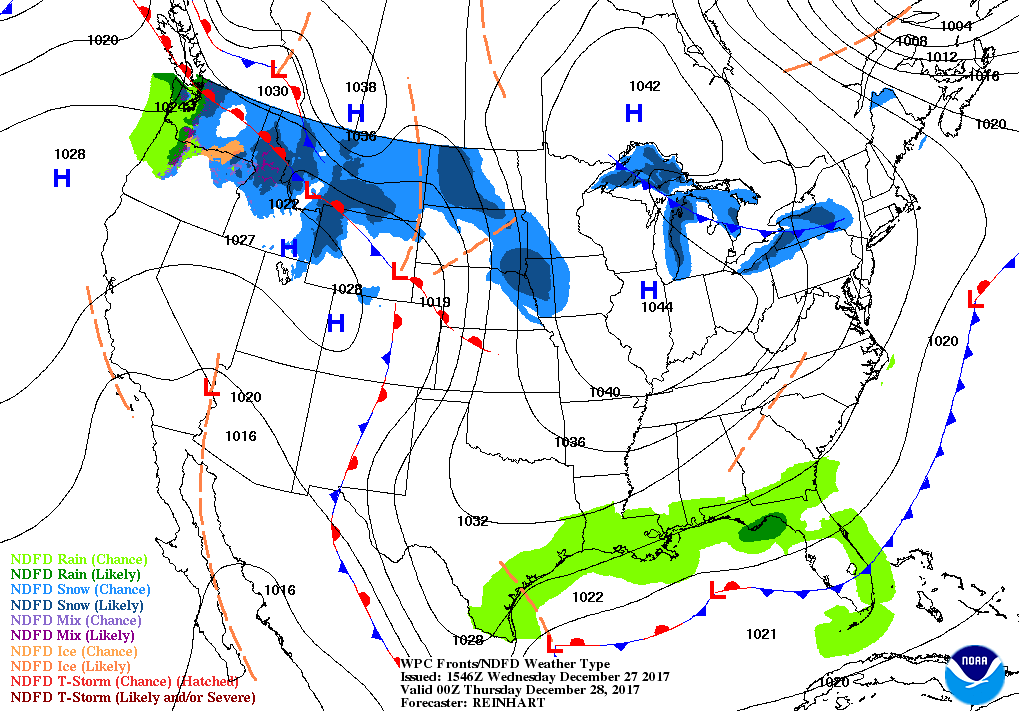
For the rest of the afternoon and into the early evening hours, some clearing will continue for the extreme northern parts of Central Alabama while the rest of the area stays mainly cloudy. Afternoon highs will only make it into the upper 30s to the mid-40s from north to south. There may be a few sprinkles or light showers moving across the extreme southern parts of the area, but north of the I-85 and US-80 corridors will stay dry. It will pretty much be the same story for tonight and through the overnight hours, as a few showers could occur across the extreme southern portions of the area, while the rest stay partly to mostly cloudy. Lows will be in the mid-20s to the upper 30s from north to south.
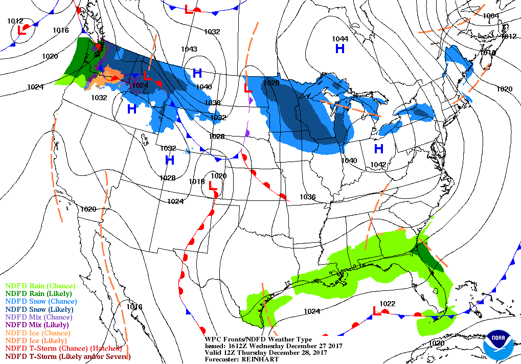
We’ll continue to pretty much have the same weather conditions for your Thursday as skies will be partly cloudy in the northern half of Central Alabama with mostly cloudy skies and a small chance of showers in the southern half. The better rain chances will be south of I-85 and east of I-65 in the southeastern parts of the area. The rest of Central Alabama will remain dry. It won’t be much warmer at all as afternoon highs will be in the mid to upper 40s throughout the area. Thursday night will continue to feature more clouds to the south, but rain chances will have diminished as we reach the rush hour at 5:00 PM. Temperatures should bottom out in the upper 20s to the mid-30s.
This Day In Weather History
1988 – Severe thunderstorms developing along a cold front in the south-central U.S. spawned a dozen tornadoes in Mississippi between early afternoon and sunrise the following day. A tornado at Harperville destroyed five chicken homes killing thousands of chickens. Strong thunderstorm winds gusted to 80 mph at Rolling Fork MS.
The Beach Forecast
Click here to see the AlabamaWx Beach Forecast Center page. The Beach Forecast is partially underwritten by the support of Brett/Robinson Vacation Rentals in Gulf Shores and Orange Beach. Click here to see Brett/Robinson’s Off-Season Deals now!
WeatherBrains
Check out the show at www.WeatherBrains.com. You can also subscribe on iTunes. You can watch the show live at live.bigbrainsmedia.com. You will be able to see the show on the James Spann 24×7 weather channel on cable or directly over the air on the dot 2 feed.
E-Forecast
Get the Seven-Day Forecast delivered directly to your inbox by email twice daily. It is the most detailed weather forecast available in Central Alabama. Subscribe here. It’s free!
Advertise With Us
Don’t miss out! We can customize a creative, flexible and affordable package that will suit your organization’s needs. Contact Bill Murray at (205) 687-0782.
Category: Alabama's Weather, ALL POSTS
About the Author (Author Profile)
Scott Martin is an operational meteorologist, professional graphic artist, musician, husband, and father. Not only is Scott a member of the National Weather Association, but he is also the Central Alabama Chapter of the NWA president. Scott is also the co-founder of Racecast Weather, which provides forecasts for many racing series across the USA. He also supplies forecasts for the BassMaster Elite Series events including the BassMaster Classic.Subscribe
If you enjoyed this article, subscribe to receive more just like it.


