Improving Conditions Across Central Alabama At Midday
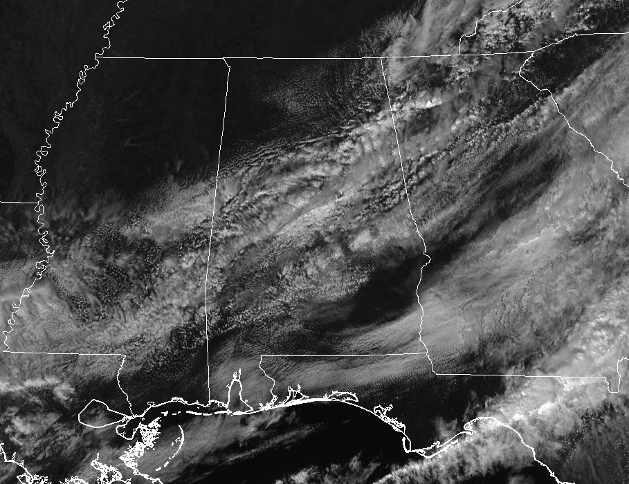
We have mostly cloudy skies across much of Central Alabama at 12:35 PM, but we do have clearing taking place in the northwestern parts of the area as I type. This clearing will continue to occur from northwest to southeast throughout the remainder of the day, and we should all see some sunshine before the evening arrives.
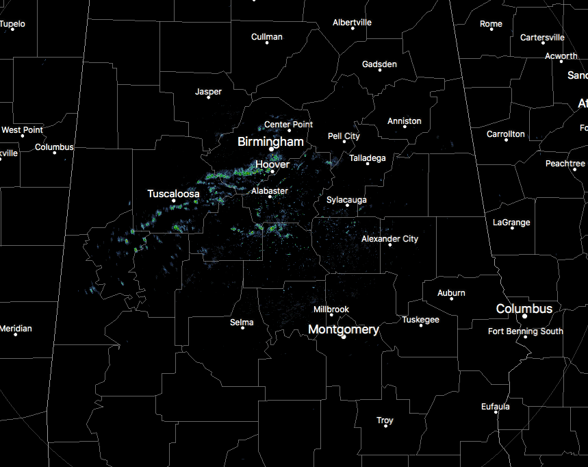
We do have some light spotty showers showing up on radar over the central and west-central parts of the area at this point, stretching from Livingston to Moundville to Gardendale. If you are out and about in these areas and in between, you may have to use your wipers for a few minutes.
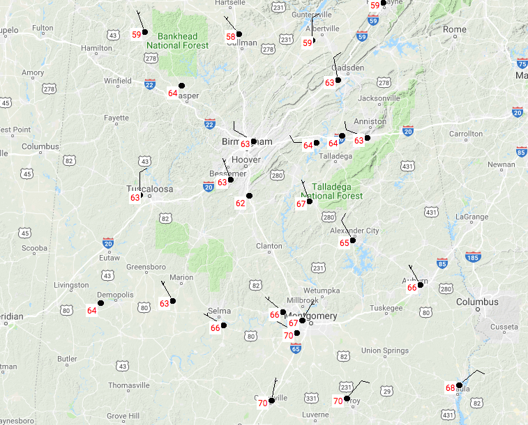
Temperatures at this time are much cooler than what we saw just last week, but they are still relatively warm to the normal highs for late February. We are currently ranging from the upper 50s in the northwest to the upper 60s to right at 70 degrees in the southeast. Birmingham was sitting at 63 degrees at the time.
Weather For The Rest Of Your Monday
The cold front will have moved well to our southeast and skies will continue clearing from the northwest to the southeast throughout the remainder of the afternoon and early evening hours. Those lingering showers will continue to push off to the southeast, so there will be a small chance of showers for those south of a line from Livingston to Brent to Talladega. North of that, once the rain has passed your location, you will be dry for the remainder of the day and throughout the late night and overnight hours. Afternoon highs will top out in the lower 60s to the lower 70s throughout the area, with lows in the lower 40s to the lower 50s.
A Great Day On Tuesday, But Rain Pushes Back In Late
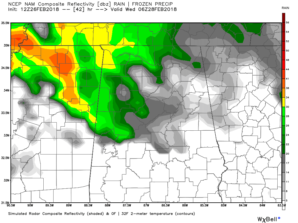
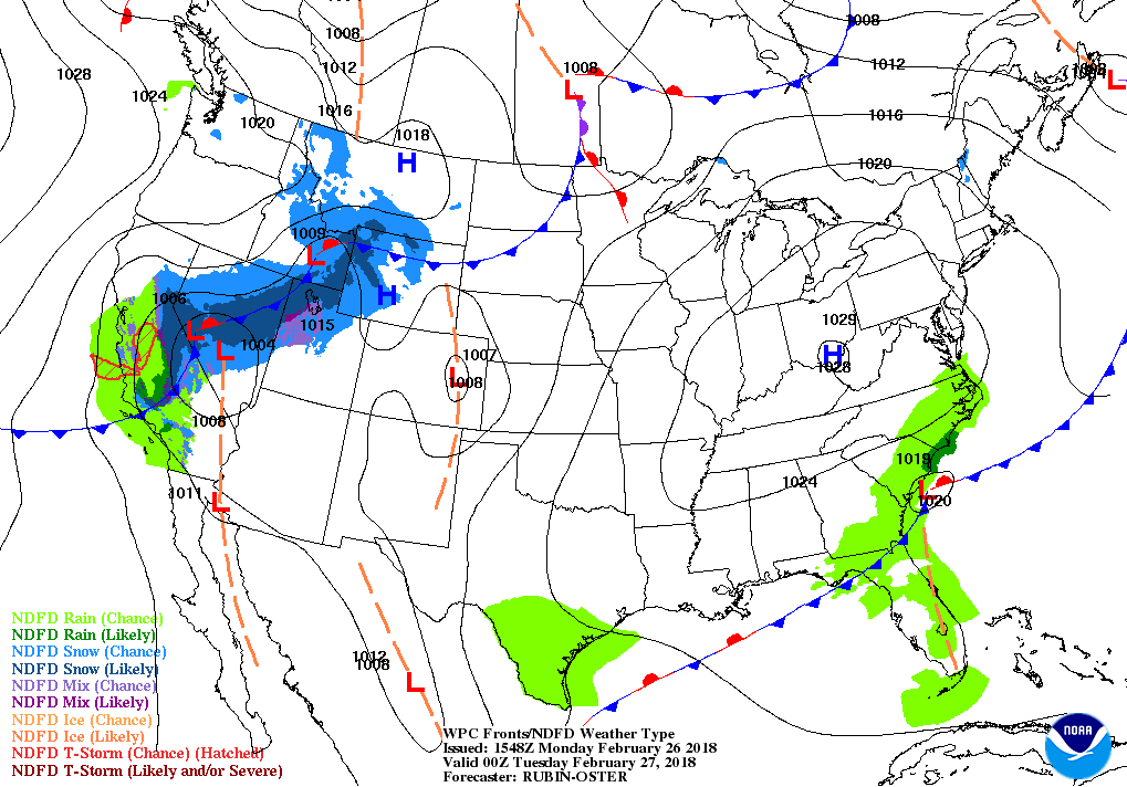
NAM simulated radar valid at 12:00 AM Wednesday.
For much of the daytime hours on Tuesday, skies will be mostly clear and temperatures will be warming back up into the upper 60s to the lower 70s, making it a very nice late winter day in Central Alabama. Unfortunately, clouds will start to move in during the late afternoon hours out ahead of our next system that will bring rain chances back into the area before midnight. Overnight lows will range throughout the 50s.
Beach Forecast Center
Is it warm or cold at the beach today? Will it rain in two days? Get the latest forecast for the beaches from Fort Morgan to Panama City on our Beach Forecast Center page. There, you can select the forecast of the region that you are interested in.
WeatherBrains
This week, the panel will entertain the Director of the GOES-R and JPSS satellite programs, Greg Mandt. Don’t forget you can listen to our weekly 90 minute netcast anytime on the web at WeatherBrains.com or on iTunes. This is the show all about weather featuring many familiar voices, including the meteorologists at ABC 33/40.
E-Forecast
Get the AlabamaWx Weather Blog’s Seven-Day Forecast delivered directly to your inbox by email twice daily. It is the most detailed weather forecast available in Central Alabama. Subscribe here… It’s free!
Advertise With Us
Don’t miss out! We can customize a creative, flexible and affordable package that will suit your organization’s needs. Contact Bill Murray at (205) 687-0782.
On This Day In Weather History
2004 – A major snowstorm dumps up to 20 inches of snow in the Charlotte metropolitan area. Charlotte’s third largest snowstorm on record accumulates 11.6 inches at the airport.
Category: Alabama's Weather, ALL POSTS
About the Author (Author Profile)
Scott Martin is an operational meteorologist, professional graphic artist, musician, husband, and father. Not only is Scott a member of the National Weather Association, but he is also the Central Alabama Chapter of the NWA president. Scott is also the co-founder of Racecast Weather, which provides forecasts for many racing series across the USA. He also supplies forecasts for the BassMaster Elite Series events including the BassMaster Classic.Subscribe
If you enjoyed this article, subscribe to receive more just like it.


