Dry Through Friday; Storms Arrive Saturday
DRY, PLEASANT DAY AHEAD: We expect a good supply of sunshine across Alabama today with a high in the upper 60s, a little below the average high of 73 for April 10. Tonight will be clear and fairly chilly; the low early tomorrow will be close to 40 degrees, but traditionally colder spots will see a low in the 30s with some scattered light frost.
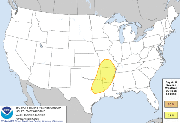
TOMORROW THROUGH FRIDAY: Our weather will stay dry with mostly sunny day and fair nights; the high tomorrow will be close to 70, but then we rise into the upper 70s, and low 80s Friday. South winds will increase Friday ahead of a storm system that will bring potential for severe thunderstorms over parts of East Texas, East Oklahoma, Arkansas, and North Louisiana Friday…
STORMS RETURN TO ALABAMA SATURDAY: Showers and storms will advance into Alabama on Saturday as the weekend begins; for now SPC does not have any severe weather risk defined due to model uncertainty, but no doubt we could see a few strong storms during the day. This this point there seems to be enough instability and shear for a few severe storms; strong straight line winds seems to be the main threat, but an isolated tornado can’t be totally ruled out. It won’t rain all day, but no doubt Saturday and Saturday night look pretty wet and stormy. We can be much more specific as we get closer to the weekend.
Rain amounts of 1 to 2 inches are expected; the rain will taper off after midnight Saturday night. Then, on Sunday, the day looks mostly cloudy, breezy, and much cooler with temperatures only in the 50s along with some light rain or drizzle in spots.
NEXT WEEK: The first half of the week will be dry with cool days and chilly nights; we will need to keep an eye on frost potential for early Tuesday morning (April 17) when the sky will be clear and the wind will be near calm. See the Weather Xtreme video for maps, graphics, and more details.

ON THIS DATE IN 2009: An EF-3 tornado stayed on the ground for 33 miles through parts of Marshall, Jackson, and DeKalb Counties with many houses heavily damaged in the area along Lake Guntersville and in subdivisions to the east, with a few destroyed. Many mobile homes and boat houses were also destroyed along its path. Five people were injured, at least 20 boat houses were destroyed.
BEACH FORECAST: Click here to see the AlabamaWx Beach Forecast Center page.
WEATHER BRAINS: Don’t forget you can listen to our weekly 90 minute netcast anytime on the web, or on iTunes. This is the show all about weather featuring many familiar voices, including our meteorologists here at ABC 33/40.
CONNECT: You can find me on all of the major social networks…
Facebook
Twitter
Google Plus
Instagram
Pinterest
Snapchat: spannwx
I have a weather program this morning at Goshen Elementary down in Pike County… look for the next Weather Xtreme video here by 4:00 this afternoon. Enjoy the day!
Category: Alabama's Weather, ALL POSTS, Weather Xtreme Videos
About the Author (Author Profile)
James Spann is one of the most recognized and trusted television meteorologists in the industry. He holds the AMS CCM designation and television seals from the AMS and NWA. He is a past winner of the Broadcast Meteorologist of the Year from both professional organizations.Subscribe
If you enjoyed this article, subscribe to receive more just like it.


