

Midday Update: Fantastic Friday, Storms on the Way
It is another absolutely gorgeous day across Alabama, as we are seeing tons of sunshine and very warm temperatures.
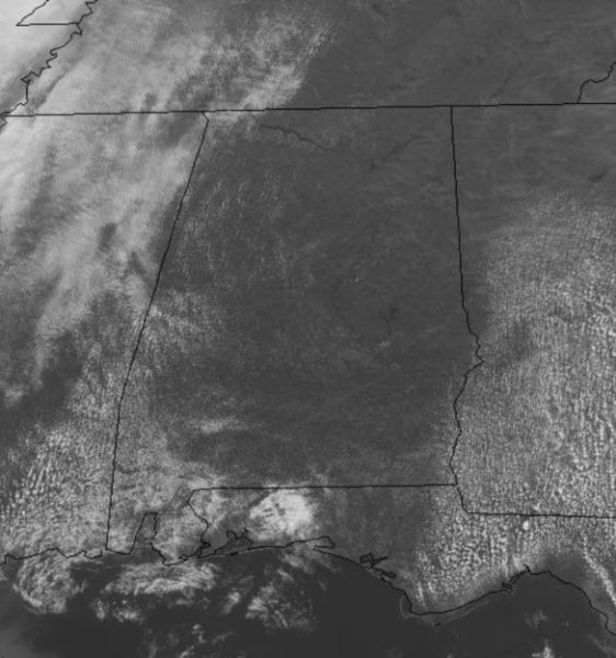
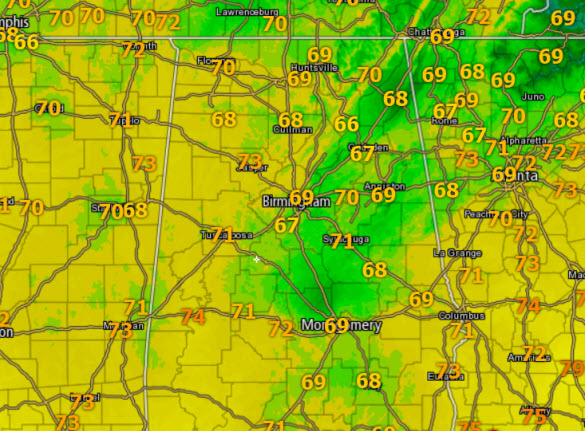
At midday, most locations are in the upper 60s and lower 70s, and temperatures should continue to climb into the low 80s this afternoon. For the rest of today, look for our winds to increase out of the south, which will start to increase our clouds and moisture levels.
COMFIRMED ALABAMA WX RECORD: A hailstone that fell March 19 in Cullman County during a round of severe weather has been declared the largest on record in the state. That’s according to a committee that included Alabama’s state climatologist, the National Weather Service and NOAA’s National Centers for Environmental Information. The hailstone measured 5.38 inches wide, weighed 9.8 ounces and had a total volume of 19.8 cubic inches. For reference, a tennis ball has about 9.6 cubic inches, a baseball is about 13.4 and a soda can 25, according to Insurance Institute for Business & Home Safety.
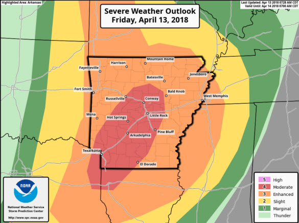
TO OUR WEST TODAY: Numerous to widespread severe storms are expected from the Mid-Missouri Valley south into the ARKLATEX and Lower Mississippi Valley this afternoon into tonight. A “moderate risk” has been issued in this areas as several tornadoes (some strong), very large hail, and damaging winds will be possible.
An expansive mid-level trough will amplify across the central Great Plains today and a surface cyclone along the north-central Kansas border will slowly track east to southwest Iowa by evening. A sharp warm front will arc east across southern Iowa with a dryline extending south across eastern portions of KS/OK/TX. A cold front will sweep southeast and overtake the dryline this evening and will be the main culprits for storms later today. This system will continue east and will impact our weather over the weekend.
STRONG STORMS FOR ALABAMA: Once again, there remains a lot of uncertainty with how everything pans out for this weekend with this storm system. Here is what we do know: The SPC maintains much of Alabama in an “enhanced risk” of severe storms tomorrow, in a broad zone from Huntsville to Mobile, with the standard “slight risk” for other parts of the state.

TIMING: A line of storms will be rolling through North Mississippi tomorrow morning, but most likely weakening as they approach the Alabama border. The line of storms looks as though it will slow down as it looses its initial upper air support. Despite the line slowing, showers, and some thunderstorms, are possible tomorrow morning over the western half of the state. This could mean a more prolonged threat as we wait on the front to finally push on through the state late tomorrow night. It still looks as though the core threat of severe storms will come later in the day when the air becomes more unstable with increasing instability and better upper-level dynamics move back into the area. The main window for severe storms will be from 2PM tomorrow through 5AM Sunday.
THREATS: Much will be dependent on how any morning showers or storms impact instability. All modes of severe weather will be possible, but the main threat will come from strong, potentially damaging straight line wind due to the fact the storm mode seems to be mainly linear event. The tornado threat is low, but not zero, and we have the potential for a few tornadoes, especially where there are breaks in the line. Some hail is possible as well. We are in the heart of our spring severe weather season so events like this are common and pretty much with any storm system moving through during mid-April in Alabama.
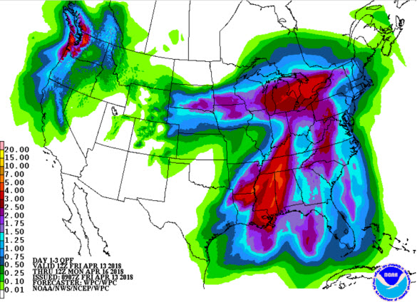
FLOODING POTENTIAL: Flash flood watches are in effect to the west of Alabama for much of Mississippi and West Tennessee, and I would not be surprised if we had some flooding problems over West Alabama by tomorrow night; rain amounts of 2-3? are likely, with isolated totals to 4 inches. Rain totals for East Alabama will be generally under 2 inches, but we should all see a nice soaking.
Just a reminder, due the amount of uncertainty, a lot can and will change the next 24 hours in regards to this forecast. We urge folks to stay weather aware tomorrow and don’t forget to check and read the blog frequently.
Category: Alabama's Weather, ALL POSTS
About the Author (Author Profile)
Macon, Georgia Television Chief Meteorologist, Birmingham native, and long time Contributor on AlabamaWX. Stormchaser. I did not choose Weather, it chose Me. College Football Fanatic. @Ryan_StinnetSubscribe
If you enjoyed this article, subscribe to receive more just like it.


