

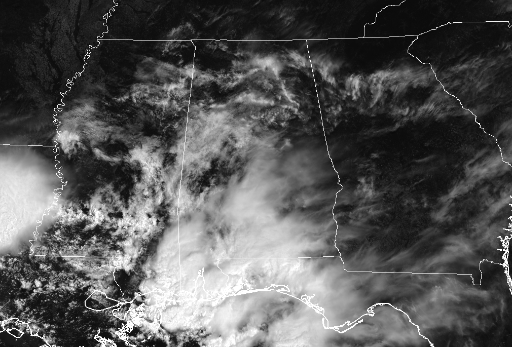
Storms Over The Coast Causing Renegade Clouds Over Central Alabama At Midday
A Check On Our Weather At 11:35 AM
While we have dry and warm conditions throughout Central Alabama as we are approaching the noon hour, we do have some cloud cover over the area thanks in part to showers and thunderstorms along the Gulf Coast. Those cloud tops have floated up over much of Central Alabama filtering out some of the sunshine. There may be a few showers that may move up into the extreme southern locations of Central Alabama, but nearly all of the area will be dry. Temperatures are currently in the mid-70s to the lower 80s, and boy does it feel nice out there with lower humidity levels. Afternoon highs will top out in the mid to upper 80s. The cloud cover should diminish by this evening and we should be able to see the star-filled night time skies. Overnight lows will be in the lower to mid-60s, with a few of the colder locations hitting the upper 50s.
Wednesday’s Weather
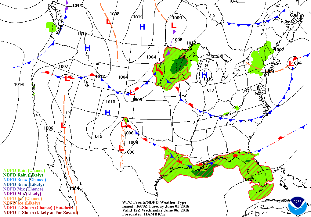
It will be another fantastic day across Central Alabama with lower humidity levels, but those afternoon highs will be warmer in the lower 90s. There is a stalled frontal boundary across the Gulf Coast where there will be a chance of scattered thunderstorms, which may send a few clouds up in our direction… but we should be mostly sunny throughout the day and into the evening. Overnight lows dip down into the mid to upper 60s.
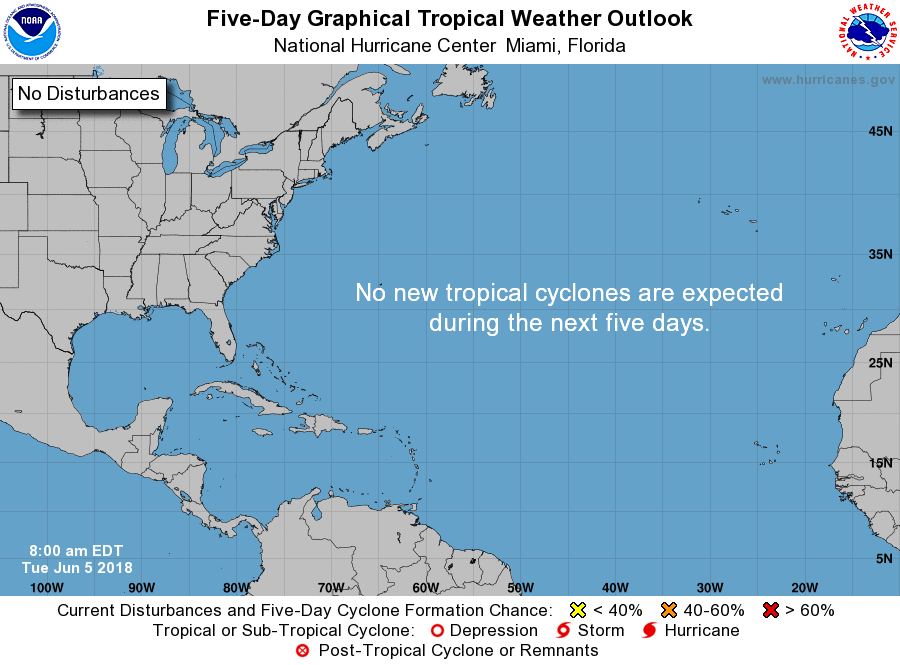
An Update On The Tropics
That’s right… June 1st was the start to the 2018 Atlantic Basin Hurricane Season, and we have already had our first named storm. At this point, the National Hurricane Center does not expect and tropical cyclone development within the next 5 days for the North Atlantic, Caribbean Sea, and the Gulf of Mexico.
Beach Forecast Center
Get the latest weather and rip current forecasts for the beaches from Fort Morgan to Panama City on our Beach Forecast Center page. There, you can select the forecast of the region that you are interested in.
WeatherBrains
Don’t forget you can listen to our weekly 90 minute netcast anytime on the web at WeatherBrains.com or on iTunes. This is the show all about weather featuring many familiar voices, including the meteorologists at ABC 33/40.
E-Forecast
Get the AlabamaWx Weather Blog’s Seven-Day Forecast delivered directly to your inbox by email twice daily. It is the most detailed weather forecast available in Central Alabama. Subscribe here… It’s free!
We’re Having A Record-Breaking Year So Far! Advertise With Us Today!
Don’t miss out! We have enjoyed over 10.3 MILLION page views on AlabamaWx.com since the start of 2018. We can customize a creative, flexible and affordable package that will suit your organization’s needs. Contact Bill Murray at (205) 687-0782.
On This Day In Weather History
1989 – Thunderstorms produced severe weather from the Lower Mississippi Valley to the Southern Atlantic Coast during the day and into the night. Four tornadoes were reported, and there were 87 reports of large hail and damaging winds.
Category: Alabama's Weather, ALL POSTS
About the Author (Author Profile)
Scott Martin is an operational meteorologist, professional graphic artist, musician, husband, and father. Not only is Scott a member of the National Weather Association, but he is also the Central Alabama Chapter of the NWA president. Scott is also the co-founder of Racecast Weather, which provides forecasts for many racing series across the USA. He also supplies forecasts for the BassMaster Elite Series events including the BassMaster Classic.Subscribe
If you enjoyed this article, subscribe to receive more just like it.


