Storms Drop Off but Temps Heat Up
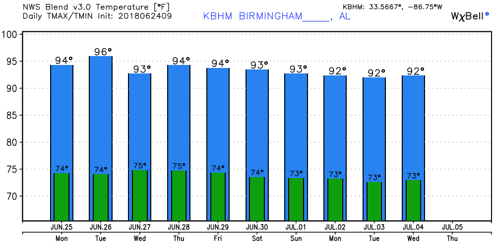
The high in Birmingham yesterday was 84 degrees, and it looks like over the next week we should see highs once again push upward into the lower 90s. We’re starting the day out with mainly clear skies across Alabama. With the high humidity with dew points in the lower half of the 70s, heat indices today will be pushing into triple digits. Heat concerns can sneak up on you, so just be aware of the heat whether working or playing outside. The big question today will be the chances for rain. The NAM MOS guidance for probabilities showed low numbers with values below 5 percent while the GFS maintained a 21 percent. With the heat and humidity and the boundary that has pushed north across Tennessee, I just cannot take showers completely out of the forecast, but I think for the first time in several days, most of us will stay dry. Highs will be in the lower 90s.
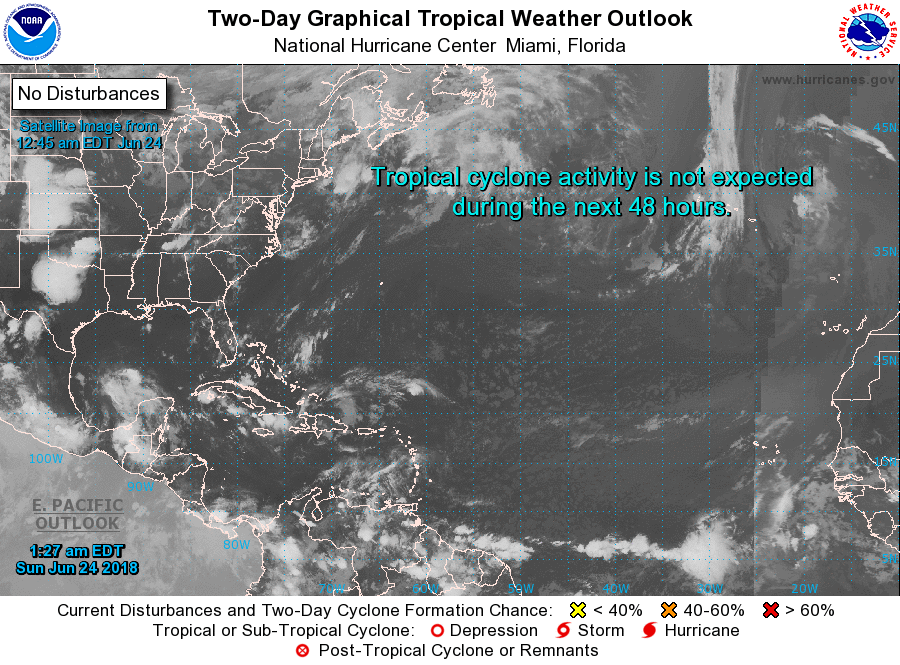
The tropical Atlantic remained quiet this morning, while there were three areas of concern in the Eastern Pacific including Tropical Depression Five-E. The depression is likely to become a tropical storm later today but should remain well out in the Pacific. The other two areas show potential for storm formation into the middle of the week.
The upper air pattern today will shift to one of a ridge across the eastern US in response to the strengthening and digging of a trough that will be over Nebraska Monday. The ridging means temperatures Monday will be in the lower half of the 90s. There is not much change to the pattern for Tuesday with isolated to scattered storms possible as highs continue in the lower half of the 90s.
Wednesday we see the potential for a slight uptick in the chances for showers and storms with the approach and passage of a short wave trough. MOS guidance doesn’t really show much with 12-hour POP values in the 20s and 30s. But the air mass remains humid, so I think the presence of the weak trough should be enough to push the number and coverage of showers up into the likely category. Highs remain in the lower 90s.
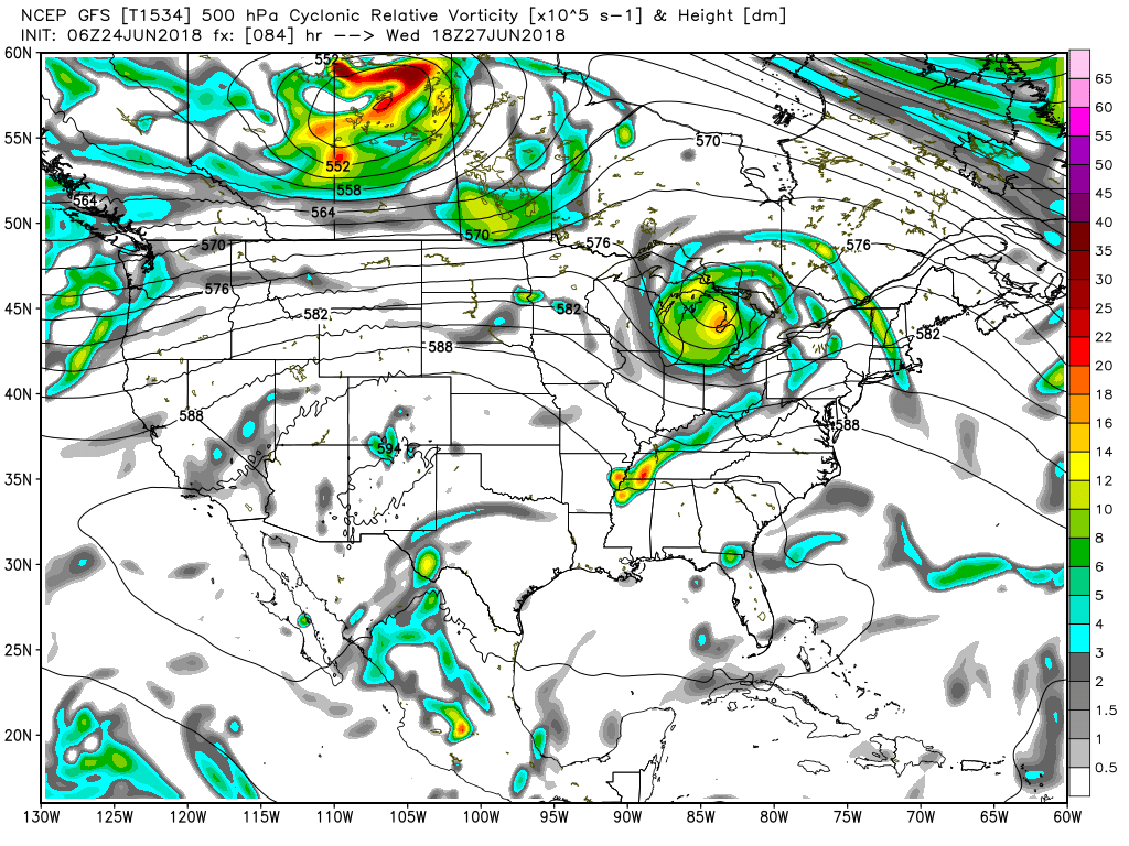
For the latter half of the week from Thursday into the first of next week, the GFS builds a 594 heat ridge across the Central Appalachians bringing very warm temperatures to much of the eastern US Coast. The Southeast US remains just to the south of the big ridge so our highs should remain in the lower half of the 90s. And with the humid air mass essentially parked in place, we should see daily chances of showers and storms driven primarily by afternoon heating with rain probabilities running in the 20 to 40 percent range each day.
Looking further into the future, the GFS remains consistent on migrating the big ridge westward by July 6th centering it over Colorado. This keeps us out of excessive heat. And the GFS also has one additional factor with a weakness in the upper air pattern over Alabama by July 9th. With the air mass staying humid, this upper air weakness could mean additional showers and storms as it combines with daily heating spelling the potential for a fairly wet period for several days. But the feature is weak, so it’s quite possible that it may not be there in future model runs.
BEACH FORECAST: No affects from the Gulf system or Bud on the beautfiul beaches of Alabama and Northwest Florida. Click here to see the AlabamaWx Beach Forecast Center page.
WEATHERBRAINS: Don’t forget you can listen to our weekly 90 minute netcast anytime on the web, or on iTunes. This is the show all about weather featuring many familiar voices, including our meteorologists here at ABC 33/40.
I’ll be filling in today on ABC 3340 for Charles Daniel at 6 and 10 pm, so be sure to tune in and catch the latest weather forecast. I’ve enjoyed my time producing the Weather Xtreme Video this week, and James Spann will be back with the next edition on Monday morning. Have a great day and Godspeed.
-Brian-
Category: Alabama's Weather, ALL POSTS, Weather Xtreme Videos
About the Author (Author Profile)
Brian Peters is one of the television meteorologists at ABC3340 in Birmingham and a retired NWS Warning Coordination Meteorologist. He handles the weekend Weather Xtreme Videos and forecast discussion and is the Webmaster for the popular WeatherBrains podcast.Subscribe
If you enjoyed this article, subscribe to receive more just like it.


