Back Side of Upper Low Brings Dry Air to Parts of Alabama
A big upper-level low centered near Columbus, Ohio is the primary weather marker for Alabama today.
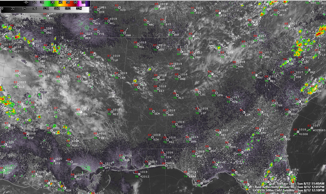
The northwesterly flow on the back side of the low is transporting much drier air across the northeastern third of Alabama.
But it still feels humid, you say. And you’re right. The low-level humidity is not being affected by this. Dew points are in the 70-degree range still.
But the overall drier air is making showers and storms hard to come by for the northern half of the state today.
A couple of isolated showers were showing up across northwestern Tuscaloosa and northeast Walker County. They are taking advantage of slightly cooler temperatures in the lower levels of the atmosphere, which is resulting in decent low-level lapse rates.
Showers and storms should be limited to areas along and south of US-82 this afternoon.
Highs will be hot, in the lower 90s. Under calm conditions tonight, lows will drop into the lower 70s. There could be a little patchy fog as well.
Mostly dry conditions will prevail Monday and Tuesday with only isolated storms. Highs will be around 90F. Rain chances will increase later in the week, with the best chances coming Friday through Sunday.
Category: Alabama's Weather, ALL POSTS
About the Author (Author Profile)
Bill Murray is the President of The Weather Factory. He is the site's official weather historian and a weekend forecaster. He also anchors the site's severe weather coverage. Bill Murray is the proud holder of National Weather Association Digital Seal #0001 @wxhistorianSubscribe
If you enjoyed this article, subscribe to receive more just like it.


