Alabama Weather Update 4:45 p.m.
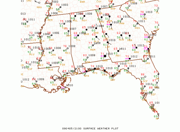
Our warm front is pushing northward through Central Alabama this afternoon. It is now 77F at Montgomery with some sunshine.

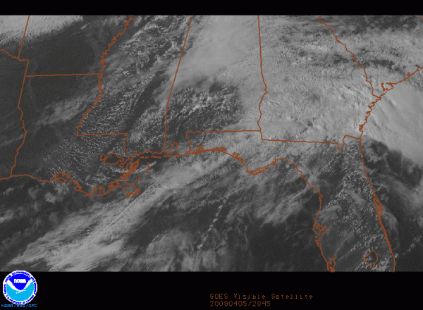
Skies have cleared over Southwest Alabama in the wake of the warm front.

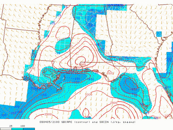
Instability values are moderate to high now over Southwest Alabama, where surface based CAPE values are in the 1000-3000 j/kg range.

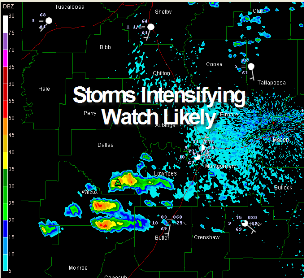
A few storms were developing just west of I-65 in Wilcox, Dallas and Monroe Counties.

These storms will continue to intensify as they head eastward. A weather watch is possible for South Alabama.
Further north, a few showers were over Northeast ALabama, but they aren’t amounting to much.
Back to the west, our cold front is over western Mississippi from west of Corinth to west of Greenwood. Thunderstorms were trying to form despite a fairly robust cap. There was just a tad of instability (CAPEs about 500 to 1,000 j/kg) ahead of the front, with a pool of greater than 1,000 j/kg CAPE over Central Mississippi.
Storms will continue moving eastward into Alabama tonight. They should weaken with time, but there will probably be a few significant weather alerts and a couple of severe thunderstorm warnings. Hail could be a problem and there could be a few iwnd damage reports.
Things will turn much colder and it will become windy by morning. Lake wind advisories are in effect for Monday. A freeze watch is in effect for Monday night and Tuesday night, as temperatures are expected to fall into the 26-30 range tomorrow night and 27-31 Tuesday night. Colder spots may be a little colder. Precautions should be taken to protect tender vegetation on both nights.
Category: Uncategorized


