Unsettled Weather Next Several Days
Clouds cover a large portion of the Southeast US this morning, and radar is also somewhat active just to the west of Alabama. Morning temperatures were in the lower 70s with some patchy fog present. It’s going to be a cloudy day for Central Alabama with numerous showers and thunderstorms providing a good deal of rain for many yards as a fairly strong upper trough moves through the eastern US. Highs will stay a little below the 30-year seasonal averages with values in the middle and upper 80s. Fortunately we are not anticipating any severe storms, but there is a marginal risk for heavy rain with the slow moving thunderstorms.

Sunday we should see a continuation of the unsettled weather as precipitable water values remain at or above 2 inches across a large section of Alabama. Monday and Tuesday another upper trough will move from eastern Nebraska to Indiana continuing to keep us wet and unsettled. With numerous showers and storms along with lots of clouds, our high temperatures will be held in the 80s.
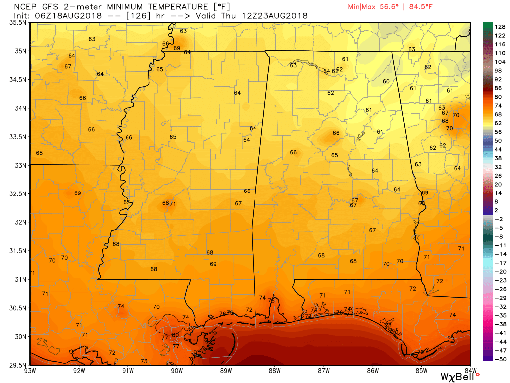
Late Tuesday and Wednesday we see a BIG change as a broad trough digs into the eastern Ohio River Valley as a surface high moves into the Middle Mississippi River Valley bringing a cold front through the Southeast US and finally providing the push necessary to bring much drier air into Alabama. Wednesday we should see dew points in the middle 60s with lower 60s by Thursday. This means our morning lows will be in the 60s for the latter portion of the week – and Thursday we could see lows in the lower 60s. Now won’t that feel good with the lowered humidity?
By Friday and Saturday our upper air pattern begins to move back toward an upper ridge as we watch moisture values climb. We should still remain fairly dry with only the potential to see some isolated showers or storms by Saturday. Highs will still be fairly nice as we see values close in once again on the 90-degree mark.
Looking out into voodoo country, the big trend from the GFS is a return to upper level ridging and a warm pattern for the end of August and the first few days of September.
TROPICS: Tropical Storm Ernesto became post-tropical in the North Atlantic early this morning, and the rest of the Atlantic basin is very quiet. Interesting to note that there have been no Atlantic hurricanes since July 12. NHC is forecasting no hurricane development in the next 5 days. Should that forecast verify, the last time that the Atlantic went from July 13 to August 22 with no hurricanes was 2013.
BEACH FORECAST: Click here to see the AlabamaWx Beach Forecast Center page.
WEATHER BRAINS: Don’t forget you can listen to our weekly 90 minute netcast anytime on the web, or on iTunes. This is the show all about weather featuring many familiar voices, including our meteorologists here at ABC 33/40.
Be sure to stay dry today. I expect to post the next Weather Xtreme Video here around 7 am or so on Sunday. Godspeed.
-Brian-

Category: Alabama's Weather, ALL POSTS, Weather Xtreme Videos
About the Author (Author Profile)
Brian Peters is one of the television meteorologists at ABC3340 in Birmingham and a retired NWS Warning Coordination Meteorologist. He handles the weekend Weather Xtreme Videos and forecast discussion and is the Webmaster for the popular WeatherBrains podcast.Subscribe
If you enjoyed this article, subscribe to receive more just like it.


