Other Than Being At Work, You Can’t Complain About Our Weather At Midday
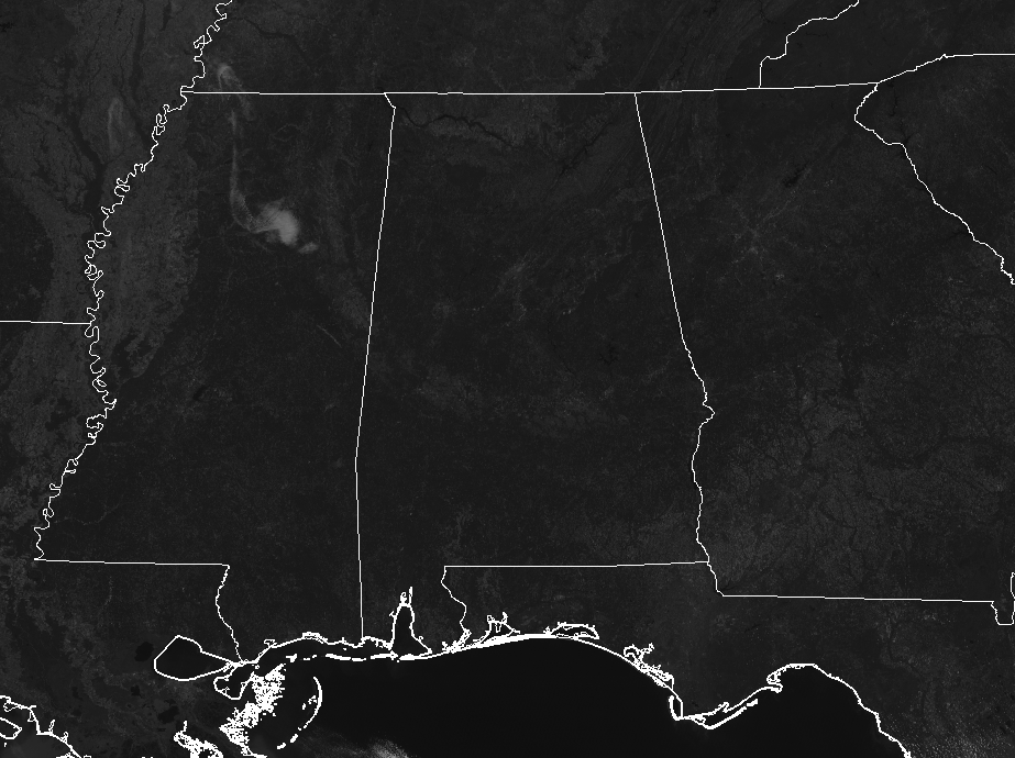
Cobalt blue skies filled with plenty of sunshine is all you can find across Central Alabama as we approach 12:30 PM on this final Monday of October, 2018. As a matter of fact, all of the southeast is clear at this point, with the only exception of a rogue cloud or two over the northern parts of Mississippi. Temperatures are currently in the mid-60s to the mid-70s across the area, with Birmingham sitting at 68 degrees. The warm spot is Eufaula at 75 degrees, while the cool spots are Haleyville and Cullman, both at 64 degrees.
WEATHER FOR THE REST OF YOUR MONDAY
This Chamber of Commerce weather that we are enjoying will continue through the rest of the afternoon and into the early evening hours. Skies will remain free from clouds and afternoon highs will top out in the 70s. Skies will remain clear during the late night and through the overnight hours across the area, with lows dropping into the lower 40s to the lower 50s from northeast to southwest.
NEARLY A CARBON COPY FORECAST FOR TUESDAY
As the trough starts to get its act together back to our west, warmer and moist air will start being advected into Central Alabama for Tuesday. The only difference you will be able to tell is it will be a few degrees warmer. Skies will continue to be sunny and highs will top out in the lower 70s to the lower 80s from northeast to southwest.
STRONG TO SEVERE STORMS ON THURSDAY?
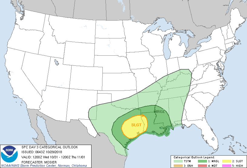
While the above image shows a Slight Risk for severe storms across parts of Texas and Louisiana on Wednesday, with a Marginal Risk stretching all of the way to the Alabama/Mississippi state line, it is still too early to know for sure if conditions will be conducive for severe storms on Thursday for Central Alabama. We’ll have a better idea by tomorrow, but as it looks for now, we may have a low end threat for strong to severe storms. At this point, the Storm Prediction Center does not have a defined area for severe storms on their day 4 outlook graphic. This is the start to the Fall Severe Weather Season across the area, so we will have to watch any systems that move across the area until the end of the year.
THE TROPICS
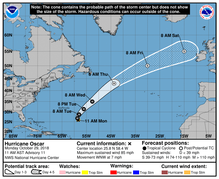
Hurricane Oscar is currently making the turn to the north and will eventually turn to the northeast by Tuesday morning and will be headed well away from any land mass. The rest of the Atlantic Basin is quiet for now. We still have a little over a month in the Atlantic Hurricane Season for 2018, so we’ll keep you updated.
Category: Alabama's Weather, ALL POSTS
About the Author (Author Profile)
Scott Martin is an operational meteorologist, professional graphic artist, musician, husband, and father. Not only is Scott a member of the National Weather Association, but he is also the Central Alabama Chapter of the NWA president. Scott is also the co-founder of Racecast Weather, which provides forecasts for many racing series across the USA. He also supplies forecasts for the BassMaster Elite Series events including the BassMaster Classic.Subscribe
If you enjoyed this article, subscribe to receive more just like it.


