Cold Air Stays In Place Through Wednesday
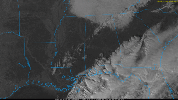
FRIGID AIR: Temperatures across the northern half of Alabama are only in the 40-50 degree range this afternoon; the average high for Birmingham on November 26 is 62. The sky is mostly sunny, although some clouds linger over Northeast and Southeast Alabama.
Tonight will be the coldest night so far this season; lows will be generally in the 20s, and a freeze is likely down to the Gulf Coast. Then, a reinforcing surge of cold air blows in tomorrow with a brisk north wind; the high will be between 38 and 43 over the northern half of the state, with mid to upper 40s for South Alabama. The sky will be sunny, but the day will be rather blustery.
We head back into the 20s early Wednesday, and with a clear sky and light wind colder pockets could dip into the teens. Then, Wednesday will be sunny with a high in the low 50s.
THURSDAY/FRIDAY: The warming trend continues Thursday; with a partly sunny sky the high will be close to 60. Moisture levels will rise, and a few isolated showers could show up late in the day over Northwest Alabama. Then, Friday looks mostly cloudy and mild with scattered showers possible… the high will be close to 70 degrees.
STORMY SATURDAY: Global models show a deep surface low northwest of Alabama Saturday, supported by a vigorous upper trough with strong wind fields. With unstable air rushing into the state from the Gulf of Mexico, that sets the stage for potential for strong to severe thunderstorms statewide. It is way too early to be specific, however, about the placement, timing, and magnitude of the threat. Just something to watch in coming days. Other than the showers and storms the day will be mild and breezy with a high in the low 70s.
Sunday, however, looks very nice. A dry slot moves into the state, and with a good supply of sunshine the high will be in the 60s.
NEXT WEEK: An active pattern continues, and another round of showers and storms is possible Monday and Tuesday, followed by another blast of cold air for the latter half of the week. See the Weather Xtreme video for maps, graphics, and more details.

TROPICS: The hurricane season ends Friday, and tropical storm formation is not expected this week. The 2019 hurricane season in the Atlantic basin begins June 1.
BEACH FORECAST: Click here to see the AlabamaWx Beach Forecast Center page.
WEATHER BRAINS: Don’t forget you can listen to our weekly 90 minute show anytime on your favorite podcast app. This is the show all about weather featuring many familiar voices, including our meteorologists here at ABC 33/40.
CONNECT: You can find me on all of the major social networks…
Facebook
Twitter
Instagram
Pinterest
Snapchat: spannwx
I enjoyed seeing the second graders today at Oak Mountain Elementary School… be looking for them on the Pepsi KIDCAM today at 5:00 on ABC 33/40 News! The next Weather Xtreme video will be posted here by 7:00 a.m. tomorrow…
Category: Alabama's Weather, ALL POSTS, Weather Xtreme Videos
About the Author (Author Profile)
James Spann is one of the most recognized and trusted television meteorologists in the industry. He holds the AMS CCM designation and television seals from the AMS and NWA. He is a past winner of the Broadcast Meteorologist of the Year from both professional organizations.Subscribe
If you enjoyed this article, subscribe to receive more just like it.


