Clouds, Chill Hang Tough Through Tomorrow, Warmer by the End of the Week with Rain Returning
Much of Central Alabama picked up around one-half inch of rain on Saturday thanks to a surface low that is near Nashville this morning. This system will produce widespread wintry precipitation from western North Carolina and upstate South Carolina through Virginia, the D.C. area, Maryland and the Philly vicinity. Nothing like that for us here in Alabama in the foreseeable future.
FOR YOUR SUNDAY: There may be a brief period or two of clearing this morning for areas near and north of I-20, but skies will remain mostly cloudy for the most part all day across the area. High temperatures will struggle to get out of the 40s in most locations after starting off in the middle and upper 40s. A few spots over the southeastern part of the area will still register falling temperatures behind a cold front through late morning, with readings falling back into the 40s. Lows tonight will be in the upper 30s to near 40F.
MONDAY: A fast zonal flow will remain in the upper-level pattern over Alabama tomorrow. Clouds will remain fairly prevalent during the day, although you will see a few peeks of sunshine at times. High temperatures will be in the 40s for the most part again.
TUESDAY: The day will start off in the 30s generally and with high pressure located just to our west, a cool, dry northerly flow should allow for more sunshine. Highs will reach the lower 50s in most spots.
WEDNESDAY: Wednesday should be the coldest morning of the week, with lows in the 20s in most spots. This will be due to high pressure which will be parked right over Alabama Wednesday morning. The airmass over Alabama will be flowing over a nice snowpack that is located to our northwest and this should keep things colder. Highs will reach the lower 50s though with additional sunshine expected.
THURSDAY SHOWERS: A warming trend will envelope Alabama by Thursday and into the weekend as the high shifts off to the east. Rain will increase during the day along a surface boundary that will be pushing into the Southeast on Thursday as well.
WEEKEND WETNESS: These showers could stay with us on Friday and Saturday as a surface low tracks slowly to our north. At least it will be warmer, with highs in the upper 50s through the periods and lows in the 40s. The rain should end by late Saturday.
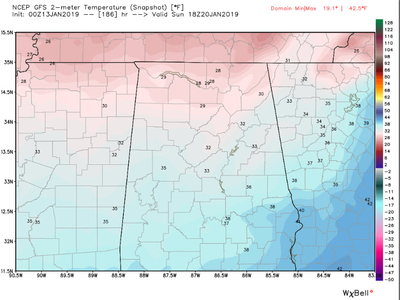
SUNDAY AND BEYOND: High pressure will build over Alabama by Sunday and it will turn cold. Lows Sunday morning will be in the lower and middle 20s. Highs Sunday afternoon may not get above freezing! Same for Monday.
VOODOO: There will be chances for rain on the 23rd and 26th (Wednesday and Saturday). It will be cold enough for snow lovers to get excited at the tantalizing possibility that some flakes could show up in Alabama. The better chance looks to be on the 26th. But nothing to get too excited about yet.
I will have a forecast update on the blog by noon. Have a great Sunday!
Category: Alabama's Weather, ALL POSTS
About the Author (Author Profile)
Bill Murray is the President of The Weather Factory. He is the site's official weather historian and a weekend forecaster. He also anchors the site's severe weather coverage. Bill Murray is the proud holder of National Weather Association Digital Seal #0001 @wxhistorianSubscribe
If you enjoyed this article, subscribe to receive more just like it.


