

Clearing And Colder Today; Dry This Weekend
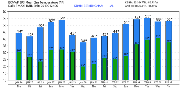
A CHILL IN THE AIR: As expected, colder air has moved into Alabama this morning, and some communities saw a few snow flurries/showers during the pre-dawn hours. Temperatures are mostly in the 30-35 degree range over the northern half of the state; we have heard of no travel issues or ice from standing water after yesterday’s soaking rain. Look for a clearing sky today with a high in between 45 and 49 degrees.
A cold front will pass through tonight in mostly dry fashion, although one or two snow flakes could be seen after midnight. Then, tomorrow will be mostly sunny and colder with a high only in the low 40s.
THE ALABAMA WEEKEND: The weekend will begin with a very cold morning early Saturday with temperatures dipping into the 20-25 degreased range. Then, during the day Saturday, we warm into the low to mid 50s with a partly to mostly sunny sky. Most of the state will stay dry Sunday; the sky will be partly sunny with a high in the mid to upper 50s. A clipper could bring a touch of light rain near the Alabama/Tennessee border; even there precipitation will be very light and very spotty.
NEXT WEEK: Monday will be dry and pleasant with a high between 55 and 60, but an Arctic cold front will blow through here Tuesday with clouds, and a chance of some light rain and light snow as temperatures fall into the 30s. Traditionally, systems like this have very limited moisture, and precipitation amounts are light. Too early to know if there will be any impact; just something to watch for now.
Wednesday and Thursday will be cold and dry; highs most likely will be only in the 30s over the northern half of Alabama, with lows in the 17-25 degree range. A warming trend begins Friday… see the Weather Xtreme video for maps, graphics, and more details.
SOAKER: Here are some rain totals across Alabama yesterday from the team of ABC 33/40 Skywatchers…
Dunnavant Valley Road (Shelby County) 3.55”
Moody 2.79”
Mountain Brook 2.69”
Grayson Valley 2.66″
Trussville 2.51”
Bibbville 2.47″
Rainbow City 2.42”
Arley 2.36”
McCalla 2.33”
Jemison 2.32”
Concord 2.32”
Bessemer 2.28”
Hueytown 2.05”
Weaver 2.03”
Jacksonville 1.99”
Heflin 1.83”
Coker 1.82”
Northport 1.41”
ON THIS DATE IN 1967: A tornado outbreak across the Central U.S. was the furthest north ever recorded in the winter up to that time. Severe weather occurred across a good portion of southeast and east-central Iowa. Two-inch hail fell at Armstrong, and over two dozen tornadoes were reported. Five miles north of Fort Madison, one fatality occurred from a tornado along with six injuries. A tornado causing F4 damage killed 3 people and injured 216 in St. Louis County, Missouri. Storms also affected parts of northern and central Illinois. One strong tornado in Mason County killed one person and injured three others. Another tornado moved across the Champaign-Urbana metropolitan area, injuring five people. Other strong tornadoes were reported across Carroll County in Mt. Carroll, where 12 people were injured, and near Gladstone in Henderson County. Funnel clouds were reported across the southwest section of Chicago.
BEACH FORECAST: Click here to see the AlabamaWx Beach Forecast Center page.
WEATHER BRAINS: Don’t forget you can listen to our weekly 90 minute show anytime on your favorite podcast app. This is the show all about weather featuring many familiar voices, including our meteorologists here at ABC 33/40.
CONNECT: You can find me on all of the major social networks…
Facebook
Twitter
Instagram
Pinterest
Snapchat: spannwx
I have a weather program today at Briarwood Christian School… look for the next Weather Xtreme video here by 4:00 this afternoon. Enjoy the day!
Category: Alabama's Weather, ALL POSTS, Weather Xtreme Videos
About the Author (Author Profile)
James Spann is one of the most recognized and trusted television meteorologists in the industry. He holds the AMS CCM designation and television seals from the AMS and NWA. He is a past winner of the Broadcast Meteorologist of the Year from both professional organizations.Subscribe
If you enjoyed this article, subscribe to receive more just like it.


