Saturday’s Weather Xtreme: Warmer But Unsettled Weather Ahead
TODAY
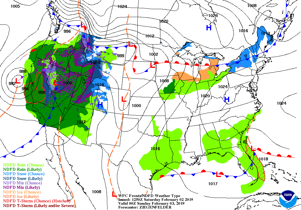
We’ll start off the day with mostly clear skies over the northern half of Central Alabama while skies will be partly to mostly cloudy over the south. The cloud cover will work its way northward throughout the day and we could see a few passing showers during the late afternoon through the overnight hours. Odds for any one location receiving rain will be around 1 in 5. Afternoon highs top out in the 60s across the area with lows in the mid-40s to the lower 50s.
SUNDAY
Sunday will be another mild day across the area but we’ll have a short wave pass through that could fire off a passing light shower or some drizzle. At now, odds for any one location to receive any rain will be less than 1 in 5. Skies will be mostly cloudy with highs reaching the 60s once again across the area.
MONDAY
On Monday, we’ll have a weakening cold front approaching the area and our winds will shift out of the south. That will pump warmer and more moist air into the area, but will also increase the chance of scattered showers. Skies will be mainly cloudy with highs reaching the mid to upper 60s across the area.
TUESDAY
The cold front will be just off to our north on Tuesday and there will be a high just off the Gulf Coast. We’ll continue to have warmer air and more moisture pumped into the area that will fire off more scattered showers. We may have enough instability that a few claps of thunder are possible, but there will not be any lifting mechanism to worry about severe weather. It will be another day with mainly cloudy skies and highs in the upper 60s to the lower 70s.
WEDNESDAY
Ridging strengthens over the southeast on Wednesday as the cold front that was to our north stalled out before entering the northern parts of the state and starts to move back northward as a warm front. We’ll continue to have scattered showers but the higher chances will be over the northern half of the area, especially along and north of the I-20 corridor. Highs top out in the lower to mid-70s.
THURSDAY
The front continues to lift northward which will allow for even more warm air to be pulled into the area on Thursday. We’ll have a slight chance of a few scattered showers with the higher chances over the northern half of the area, but odds for any one location seeing rain will be 1 in 4 and less as you move south of I-20. Highs will be in the mid to upper 70s.
FRIDAY
Those warmer temperatures will start to be pushed back out of Central Alabama as the ridging over the area starts to break down. A cold front begins to approach the area on Friday which will raise our rain chances a little to around 1 in 3 odds for any one location. Afternoon highs will be in the mid-50s to the upper 60s across the area from northwest to southeast.
ON THIS DAY IN WEATHER HISTORY
1952 – The only tropical storm of record to hit the U.S. in February moved out of the Gulf of Mexico and across southern Florida. It produced 60 MPH winds and two to four inches of rain.
BEACH FORECAST CENTER
Get the latest weather and rip current forecasts for the beaches from Fort Morgan to Panama City on our Beach Forecast Center page. There, you can select the forecast of the region that you are interested in.
ALREADY OFF TO A HOT START IN 2019! ADVERTISE WITH THE BLOG!
We have enjoyed over 2.4 MILLION page views on AlabamaWx.com so far in 2019! Don’t miss out! We can customize a creative, flexible and affordable package that will suit your organization’s needs. Contact Bill Murray at (205) 687-0782.
E-FORECAST
Get the Alabama Wx Weather Blog’s Seven-Day Forecast delivered directly to your inbox by email twice daily. It is the most detailed weather forecast available in Central Alabama. Subscribe here… It’s free!
CONNECT WITH THE BLOG ON SOCIAL MEDIA
You can find the AlabamaWx Weather Blog on the major social media networks:
Facebook
Twitter
WEATHERBRAINS
Don’t forget you can listen to our weekly 90 minute netcast anytime on the web at WeatherBrains.com or on iTunes, Stitcher, or Spotify. This is the show all about weather featuring many familiar voices, including the meteorologists at ABC 33/40.
Category: Alabama's Weather, ALL POSTS, Weather Xtreme Videos
About the Author (Author Profile)
Scott Martin is an operational meteorologist, professional graphic artist, musician, husband, and father. Not only is Scott a member of the National Weather Association, but he is also the Central Alabama Chapter of the NWA president. Scott is also the co-founder of Racecast Weather, which provides forecasts for many racing series across the USA. He also supplies forecasts for the BassMaster Elite Series events including the BassMaster Classic.Subscribe
If you enjoyed this article, subscribe to receive more just like it.


