Plenty Of Rain & A Few Embedded Storms Continue To Move Across Much Of The Area
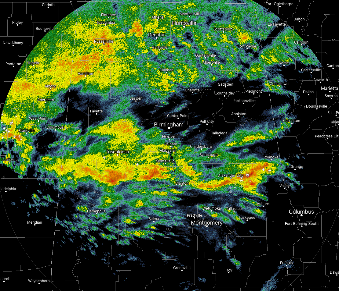
As of 9:46 am on this rainy and gray Tuesday, rain and a few thunderstorms continue to move northeastward across North and Central Alabama. The more impressive rain with embedded storms is falling roughly in a line from Aliceville to Brent to Alexander City to Roanoke. Nothing strong at this point but plenty of lightning is being displayed in the eastern part of this line east of Alexander City near Daviston, Wadley, Roanoke, Five Points, and Jacksons Gap. If you are in the path of these storms, just go ahead and get indoors until it passes.
The rest of the rainfall at this point is light to moderate with nearly all of the North Alabama counties completely covered over in rain, while there is a small break in between that and the line of storms I mentioned earlier. Rainfall tapers off as you move south of that line.
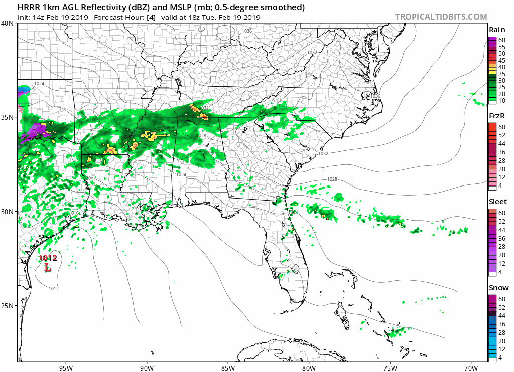
The HRRR is showing that once we get this rainfall that is on radar at this point out of North and Central Alabama by later this afternoon, most of the area could get a chance to dry out for a little while as showers will be more scattered in nature and less in coverage.
We’ll keep you posted throughout the day and through this week on any developing weather issues. Remember that severe weather warnings and flash flood warnings are posted to the blog immediately as they are issued from the National Weather Service.
Category: Alabama's Weather, ALL POSTS
About the Author (Author Profile)
Scott Martin is an operational meteorologist, professional graphic artist, musician, husband, and father. Not only is Scott a member of the National Weather Association, but he is also the Central Alabama Chapter of the NWA president. Scott is also the co-founder of Racecast Weather, which provides forecasts for many racing series across the USA. He also supplies forecasts for the BassMaster Elite Series events including the BassMaster Classic.Subscribe
If you enjoyed this article, subscribe to receive more just like it.


