Potential For Damaging Winds & Large Hail Continues For Later Today
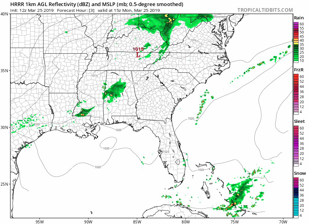
Showers and thunderstorms continue to be likely today with a threat of strong to severe storms during the afternoon and evening hours across nearly all of North/Central Alabama. The main threats that we’ll have to worry about today are large hail and damaging wind gusts up to 60 MPH. With the wind flow being mostly unidirectional aloft, the tornado threat will be very low but not zero.
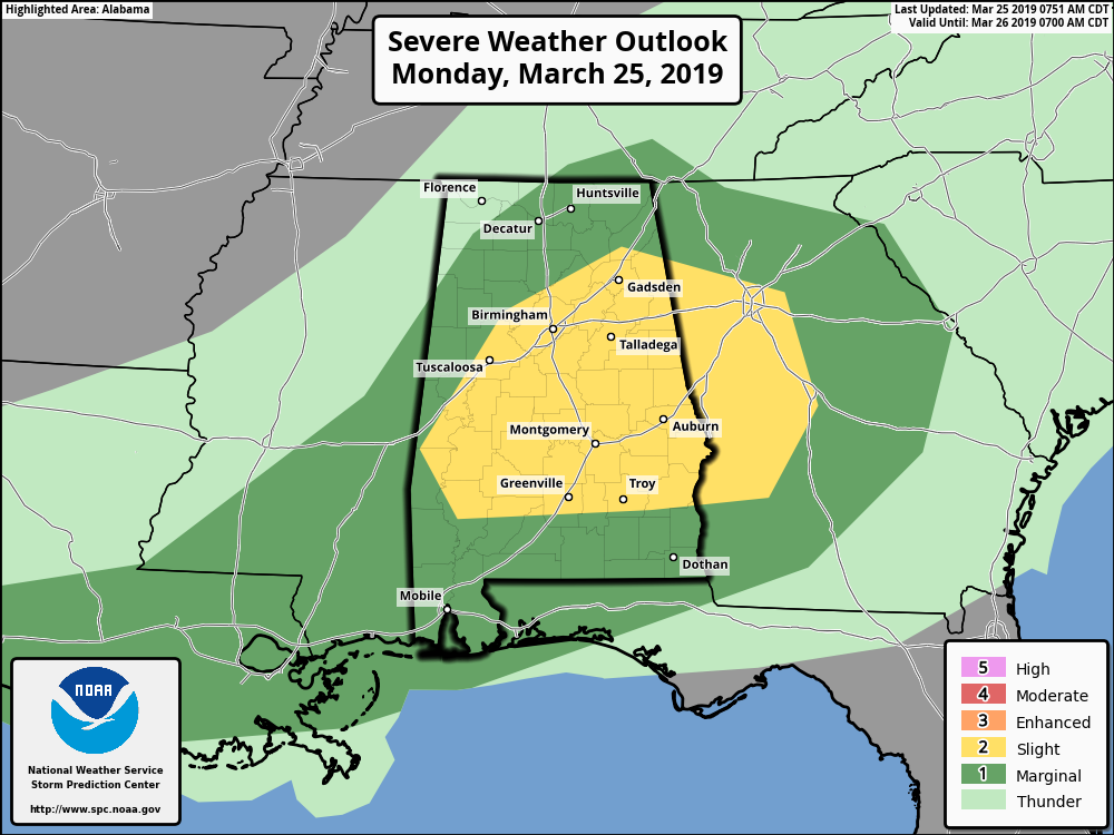
The Storm Prediction Center has a Slight Risk for severe storms defined for a large part of Central Alabama which includes locations along and south of a line from Livingston to Parrish to Boaz To Cedar Bluff. A Marginal Risk is defined for nearly the rest of Central Alabama and most of North Alabama.
The main window for stronger to severe storms will be today from 1:00 pm to 9:00 pm across the area. Rough estimates will be 1:00-5:00 pm for locations north of a line from Aliceville to Warrior to Fort Payne, 3:00-7:00 pm south of that to a line from Selma to Alexander City to Roanoke, and 5:00-9:00 pm for locations south of that.
With hail and damaging winds being the main threats today, you may want to find a way to protect your vehicles just in case a storm with large hail moves over your location. Have your preparedness kits and safety plans ready to go just in case your location goes under a warning. Please remember that straight line damaging winds in a severe thunderstorm could be as strong as a tornado and could cause major damage and injuries, so please treat a severe thunderstorm warning seriously.
We’ll continue to have updates throughout the day.
Category: Alabama's Weather, ALL POSTS, Severe Weather
About the Author (Author Profile)
Scott Martin is an operational meteorologist, professional graphic artist, musician, husband, and father. Not only is Scott a member of the National Weather Association, but he is also the Central Alabama Chapter of the NWA president. Scott is also the co-founder of Racecast Weather, which provides forecasts for many racing series across the USA. He also supplies forecasts for the BassMaster Elite Series events including the BassMaster Classic.Subscribe
If you enjoyed this article, subscribe to receive more just like it.


