Storms Arrive Later Today
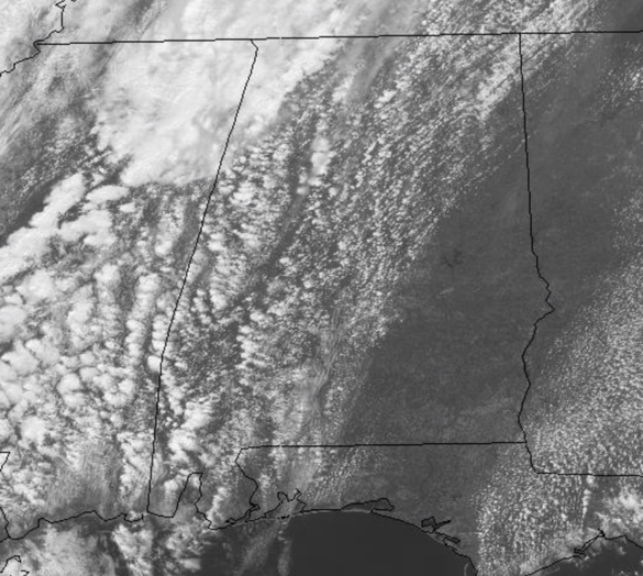
Early this afternoon we are dealing with a very nice spring day across the state of Alabama. We are seeing a mix of sun and clouds and temperatures are very nice with all locations well up into the 70s this afternoon. Clouds will continue to increase as we wait on the threat of strong to potentially severe storms later this afternoon and evening.
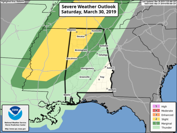
THE SETUP: An approaching cold front will bring a band of showers and thunderstorms into Alabama later today and tonight. The SPC continues a “slight risk” (level 2/5) for severe storms over Northwest Alabama…for areas west of a line from Livingston to Tuscaloosa to Cullman to near Huntsville. There is a “marginal risk” (level 1/5) as far east as Butler, Clanton, and Anniston.
TIMING: The window for the heavier storms will come from roughly 6:00PM until 11:00PM…. after that storms will weaken late tonight as they push south and east through the state.
THREATS: Within the risk area, stronger thunderstorms will be capable of producing strong winds and hail. The overall tornado threat is very low, but not zero. Rain amounts should be 1/2 inch or less, and flooding is not expected. Any rain will help wash away some of the pollen covering everything.
MUCH COLDER TOMORROW: Behind the front a much colder air mass will blow into the state tomorrow. The sky becomes sunny tomorrow after the rain, but expect highs only in the 50s over North/Central Alabama. Tomorrow night, we drop into the lower 30s in many areas and a freeze is possible for colder places. Growers will need to keep an eye on temperature forecasts.
Category: Alabama's Weather, ALL POSTS
About the Author (Author Profile)
Macon, Georgia Television Chief Meteorologist, Birmingham native, and long time Contributor on AlabamaWX. Stormchaser. I did not choose Weather, it chose Me. College Football Fanatic. @Ryan_StinnetSubscribe
If you enjoyed this article, subscribe to receive more just like it.


