Places To Watch During The Next Few Hours For Storm Development
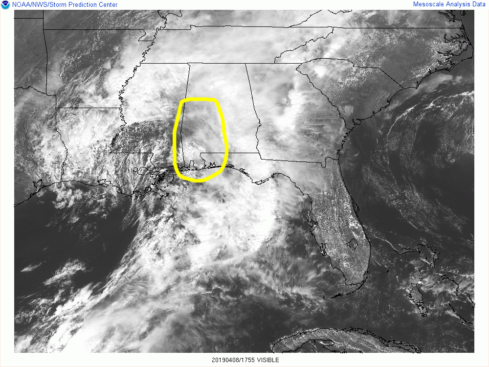
Areas that we really need to watch over the next couple of hours are the locations in the west and southwestern parts of Central Alabama as a dry slot is working into the area which may allow for the clouds to thin and break some and for some sunshine to warm the surface.
Any sunshine that is allowed to warm the surface will only allow the atmosphere to destabilize quicker and this is where we could see the development of more convective thunderstorm which could become strong to severe.
At this point, the higher instability values are located over the northern parts of Central Alabama topping out over 1000 J/kg.
Significant tornado parameter values are around 0.5 at the moment, but those are expected to climb into the 2.0-3.0 range over the western parts of the area later today and into the evening.
Timing for severe weather today and into tomorrow has changed since the last update. The western-third of the area will be from now until midnight, the central parts will be from now until 4:00 am Tuesday morning, and the eastern-third from now until 10:00 am Thursday.
Threats continue to be damaging winds up to and exceeding 60 MPH, large hail, and tornadoes.
Right now, it is just a wait and see when anything decides to fire up. We’ll continue to keep you posted. Stay weather aware.
Category: Alabama's Weather, ALL POSTS, Severe Weather
About the Author (Author Profile)
Scott Martin is an operational meteorologist, professional graphic artist, musician, husband, and father. Not only is Scott a member of the National Weather Association, but he is also the Central Alabama Chapter of the NWA president. Scott is also the co-founder of Racecast Weather, which provides forecasts for many racing series across the USA. He also supplies forecasts for the BassMaster Elite Series events including the BassMaster Classic.Subscribe
If you enjoyed this article, subscribe to receive more just like it.


