A Glorius Easter Sunday
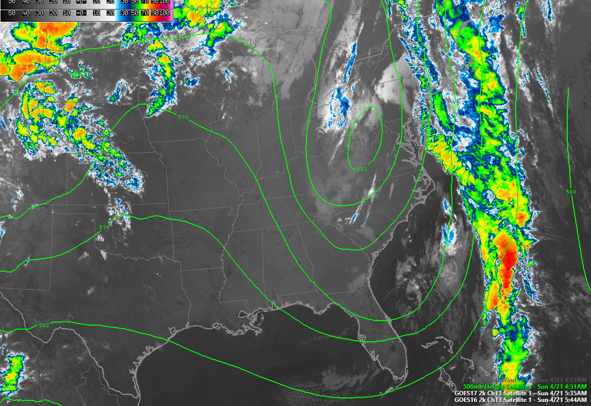
Alabamians are waking to a beautiful Easter Sunday morning today. Temperatures are on the cold side for sunrise services, but the morning is dawning mostly bright and clear across much of the area. The exception is northeastern Alabama, where some fog is around. A dense fog advisory is in effect for places like Guntersville, Huntsville, Scottsboro, and Fort Payne until 9 a.m.
SUNNY SUNDAY: Your Sunday will be filled with sunshine once we move that fog out of the way up in the Tennessee Valley. And things will be warming up. Friday readings falling into the 50s and yesterday’s cool 60s will be but a memory by this afternoon as readings rise into the 70s across the area. Readings will range from 73F up around Gadsden to 75F around Birmingham to 77-78F at Hamilton and Demopolis. You get the idea: warmer in the west, cooler in the east. Today’s rain chance: a big fat zero. Lows tonight will be warmer than last night, generally between 46F and 53F.
UPPER PATTERN: The deep trough and upper low will be slowly exiting stage left today and Monday, and a ridge building back in its place across Alabama. Ridge=good, trough=bad (except when it comes to drought!). This will mean warmer than normal temperatures for Alabama as we go through the week ahead. With near total sunshine tomorrow, readings will warm in the 80s. They will stay there through Wednesday, with little or no chance of rain. Lows will be in the 50s each morning.
NEXT RAIN CHANCE: The ridge will hold strong until Thursday when it will finally begin to break down. It will hold long enough to keep a cold front to the north at bay. That front will bring showers as far south as Kentucky by Wednesday. But the real seeds of change for us will come by Thursday morning as a surface low spins up over northeastern Texas or eastern Oklahoma. The global models differ that little bit on placement. They both move it into Arkansas by Thursday night, and by then, showers and storms will be starting to show up on radars across Mississippi and perhaps into Alabama.
SEVERE WEATHER: The GFS, with its deeper surface low near Greenville, Mississippi by midnight Thursday night, shows pretty good concentrations of showers and thunderstorms across Alabama. There will be some decent instability, so I would expect some lout thunderstorms, but bulk shear profiles are generally weak, so the chance of severe weather appears minimal. But as we always say in Alabama, at least watch out for the unexpected!
RACE WEEKEND: This next system will be accompanied by another one of these crazy upper-level lows. With it and its attendant surface low tracking to our south on Friday, I would expect clouds and showers to stay in the forecast. At least it should be milder than with this last one though. Highs on Thursday and Friday should be in the 70s to near 80F. Saturday and Sunday look warm and dry now with just a chance of an afternoon storm. Highs will be in the upper 70s and lower 80s. Perfect weather for ‘Dega, right? The northwest side of the upper low will be the place to be!
LAST WEEK OF APRIL/FIRST WEEK OF MAY: Looks like May will roll in here under pretty fine Spring conditions for Alabama. High-pressure ridging in from the northeast will signal fine weather with sunny skies, highs in the 80s and lows in the 60s. A front will try to force its way in here by Monday the 6th, with some success, but we will need the rain by then.
DROUGHTWATCH: We have actually been pretty dry over the past thirty days and drought had crept back into southeastern sections of Alabama. The worst areas did receive good rainfall this past Thursday and Friday however, so this week’s map should look a little better. It looks like we will go back the next two weeks however, as average rainfall amounts look fairly puny, under an inch during the period.
WEATHERBRAINS: We will talk to two legends in severe weather research and forecasting Monday night, Dr. Harold Brooks and Victor Gensini. Make sure to tune in to the weekly netcast that’s all about the weather. You know how to find us.
ON THIS DATE IN 1967: A major outbreak of severe weather on this date in the Midwest. Dozens of tornadoes; 6 of which would be classified as major (F3 or above) would affect the area from Missouri and Iowa through Illinois and Michigan. The worst tornado of the day occurred at Oak Lawn IL where 33 people were killed. Many people were killed in their cars as the tornado struck at rush hour on the south side of Chicago. Several children were killed at a skating rink and other people died under the collapsing walls of a supermarket. It would be the worst tornado disaster ever in the Chicago area.
Category: Alabama's Weather, ALL POSTS
About the Author (Author Profile)
Bill Murray is the President of The Weather Factory. He is the site's official weather historian and a weekend forecaster. He also anchors the site's severe weather coverage. Bill Murray is the proud holder of National Weather Association Digital Seal #0001 @wxhistorianSubscribe
If you enjoyed this article, subscribe to receive more just like it.


