Weather Xtreme Video: Small Shower Chance Early Today; Warm Week Ahead
Saturday was a perfect day weatherwise across Central Alabama. High temperatures topped out right around 80 degrees in all locations, with a good supply of sunshine and a gentle southerly breeze. A dying cold front triggered a few showers overnight and another round of scattered, mostly light showers will impact the area this morning, but most stations won’t even see measurable rain. And the warmth will continue for the coming week. In fact, we will see the warmest readings so far this season, edging out the middle 80s we saw earlier this month.
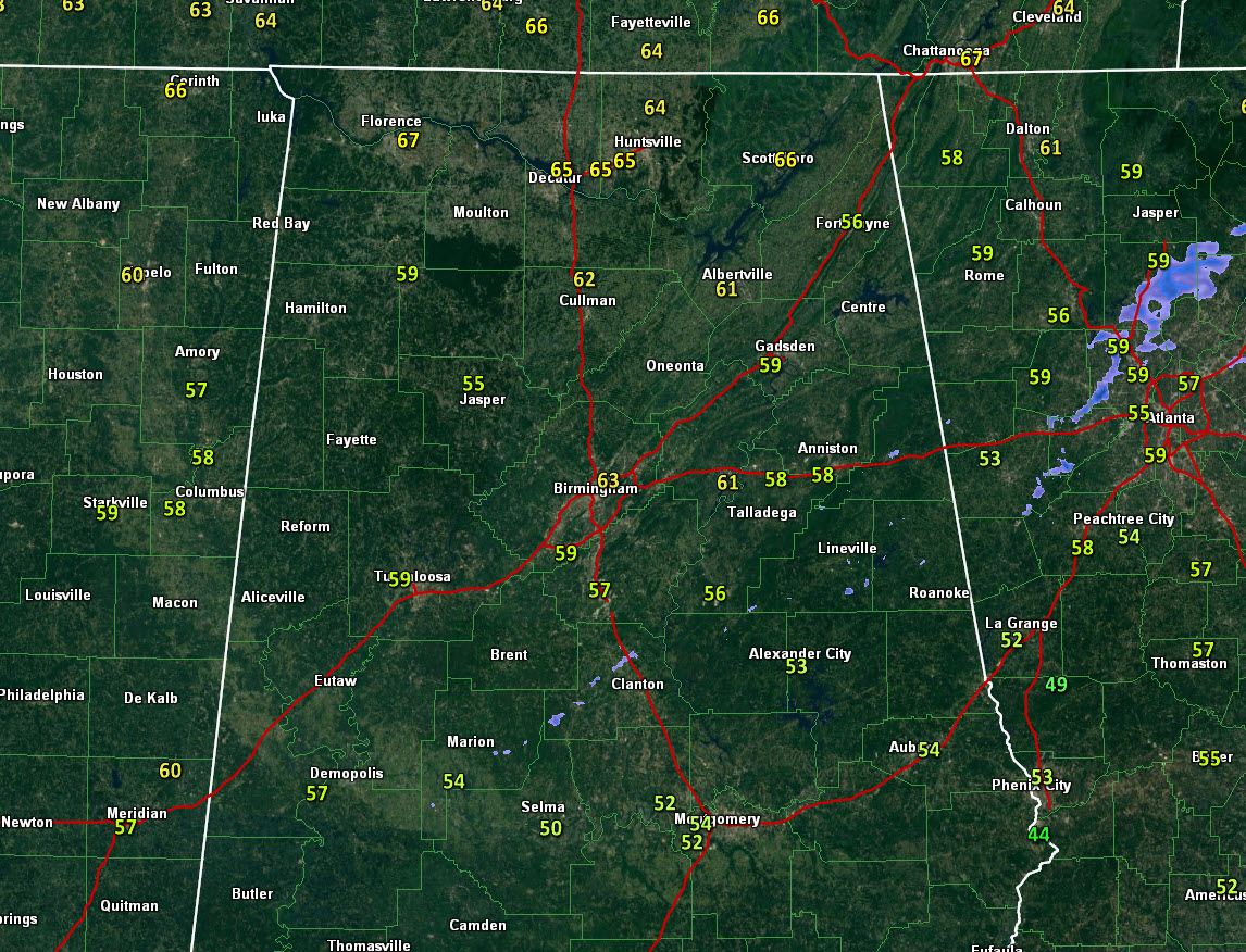
RADAR CHECK AT 6 AM: Showers have nearly dissipated this morning across Central Alabama. They were spotty and light in intensity anyway. Can’t rule out a local shower early this morning, but nearly everyone stays dry. Temperatures will be warming quickly through the 60s and 70s from morning lows in the upper 50s and lower 60s.
ON THE WEATHER MAPS: ON this last Sunday in April, we find a fairly flat upper-level flow across the United States. This gives us the first clue that our front is going to run out of steam. That surface front is to the northwest of Alabama early this morning. A few light showers are lined up ahead of the boundary. They will be limited in coverage and they should be gone by noon even in those limited locations. That front will slow down and stall and then wash out over Central Alabama over the next 24 hours. High pressure will take over Alabama’s weather.
THAT HIGH is waiting in the wings this morning to our east, waiting to flex its muscles. It will build in its power and ridge into the Southeast over the early part of the week. Alabama will find itself bathed in a warm southerly flow, leading to highs in the 80s each day. Dewpoints will slowly come up each day, and by late Tuesday and Wednesday, It will start to feel humid. Can’t rule out an isolated shower, I guess, as the atmosphere moistens up, but the rain chances should hold off until Thursday. Showers will be possible Thursday afternoon, Thursday night and much of Friday before the front exits the area. Temperatures will fall back 4-5 degrees for the weekend along with high pressure delivering a fresh supply of sunshine.
VOODOO: The following week will feature a quick hitting chance of rain on Monday the 6th followed by nice weather for midweek. Then a well-advertised stronger storm system should bring good rain chances at the end of the period but after the all-important Regions and Mother’s Day weekend.
GULF COAST WEATHER: The week ahead looks gorgeous for the beautiful beaches of Alabama and Northwest Florida. Sunshine and warm temperatures will prevail through Wednesday. Thursday will feature cloudy skies with a chance of showers and storms, but conditions should improve by Friday in time for the weekend. Highs will be in the 80s all week. Lows will be in the 60s mostly. Water temperatures are in the lower 80s now. Starting to feel like summer! Be alert for rip current issues by Tuesday though. Click here to see the Beach Forecast Center page.
WEATHERBRAINS: This week, the panel will entertain Gary Woodall, the Meteorologist of the National Weather Service Forecast Office in Memphis. Check out the show at www.WeatherBrains.com. You can also subscribe on iTunes. You can watch the show live at live.bigbrainsmedia.com You will be able to see the show on the James Spann 24×7 weather channel on cable or directly over the air on the dot 2 feed.
ON THIS DATE IN 2013: One of the issues in weather recently has been that human observers would be pulled from airport observation stations at major airports. There was a good case against that early on a Sunday morning in Jackson, Mississippi. At 4:45 a.m., the automated sensor at the Airport in Jackson spit out a wind gust of 58 knots (67 mph). The NWS’s Chad Entremont wrote: “Ignore that wind report…must be a bird on the sensor …when the 10z ob comes out, it will have a peak wind of 73kts, ignore that too.” Just another example of why we still have to have people in the weather process. Chad reported a few minutes later that one of the forecasters had gone to chase the bird away. Too funny. Follow my weather history tweets on Twitter. I am @wxhistorian at Twitter.com.
Category: Alabama's Weather, ALL POSTS
About the Author (Author Profile)
Bill Murray is the President of The Weather Factory. He is the site's official weather historian and a weekend forecaster. He also anchors the site's severe weather coverage. Bill Murray is the proud holder of National Weather Association Digital Seal #0001 @wxhistorianSubscribe
If you enjoyed this article, subscribe to receive more just like it.


