

Potential For Severe Storms Through The Weekend, Threat Removed For Today
The good news is that while we may have some scattered showers and thunderstorms develop with the main heating of the day, severe weather is not expected. As a matter of fact, the latest HRRR is showing that we will actually stay dry through at least 3:00 pm before some shower and thunderstorm activity moves into the west and southwestern parts of the area from Mississippi and dissipating as it moves across the area.
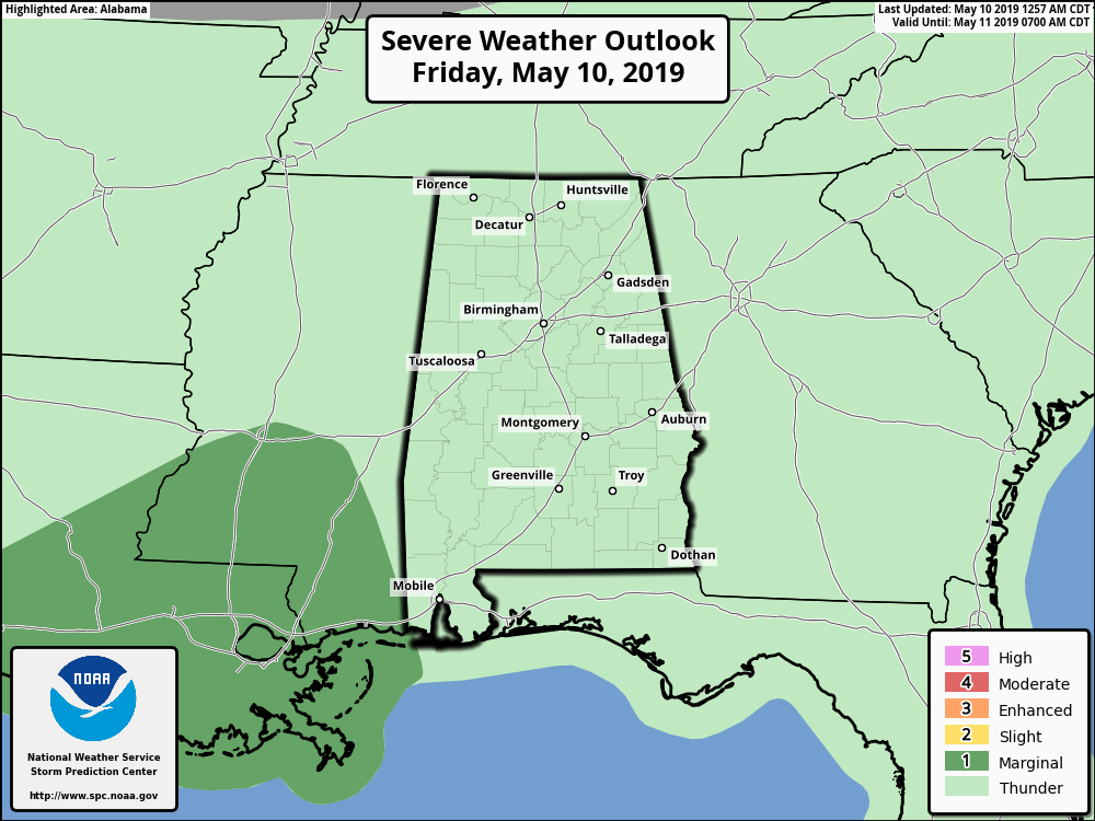
We do have have a Marginal Risk of severe storms throughout the weekend as a couple of rounds will be possible. At this point, timing and location of these storms are still up in the air as there are inconsistencies in the models. It looks like Sunday will have more of an organized severe risk as a cold front will be moving through the area. The main threat will be from damaging thunderstorm wind gusts up to 60 MPH. The threat of brief spin-up tornadoes is not zero, but too low to consider a threat at this point. Rainfall will be heavy at times, so some flash flooding issues may occur.
Category: Alabama's Weather, ALL POSTS
About the Author (Author Profile)
Scott Martin is an operational meteorologist, professional graphic artist, musician, husband, and father. Not only is Scott a member of the National Weather Association, but he is also the Central Alabama Chapter of the NWA president. Scott is also the co-founder of Racecast Weather, which provides forecasts for many racing series across the USA. He also supplies forecasts for the BassMaster Elite Series events including the BassMaster Classic.Subscribe
If you enjoyed this article, subscribe to receive more just like it.


