Scattered Showers Today; Mostly Dry Tomorrow
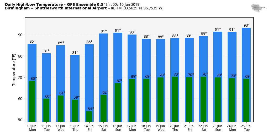
A FEW SHOWERS/STORMS LATER TODAY: Moist, tropical air remains over Alabama this morning. We have patches of very dense fog that will dissipate by mid-morning. The radar is quiet at daybreak, but we will forecast scattered showers and thunderstorms by afternoon… odds of any one spot getting wet today are around 40 percent. Otherwise, expect a mix of sun and clouds with a high in the mid 80s. The average high for June 10 at Birmingham is 87.
REST OF THE WEEK: Drier air moves into Alabama tonight, and tomorrow will be a mostly sunny day with lower humidity. The only chance of showers tomorrow will be over the southeast corner of the state, around Dothan and Ozark. The high will be in the low to mid 80s.
Then, on Wednesday, we will mention a chance of showers and thunderstorms by afternoon with a cold front approaching from the north; a few strong storms are possible over the Tennessee Valley. Then, dry and pleasant weather is the story for Thursday and Friday… lots of sunshine both days with lower humidity and cool night for June. Many communities across North/Central Alabama will dip into the 50s early Friday morning.
THE ALABAMA WEEKEND: Saturday will be mostly sunny and warmer with a high in the upper 80s… then on Sunday we will bring back a chance of scattered, mostly afternoon and evening showers and thunderstorms as moisture levels rise. The high Sunday will be between 87 and 90.
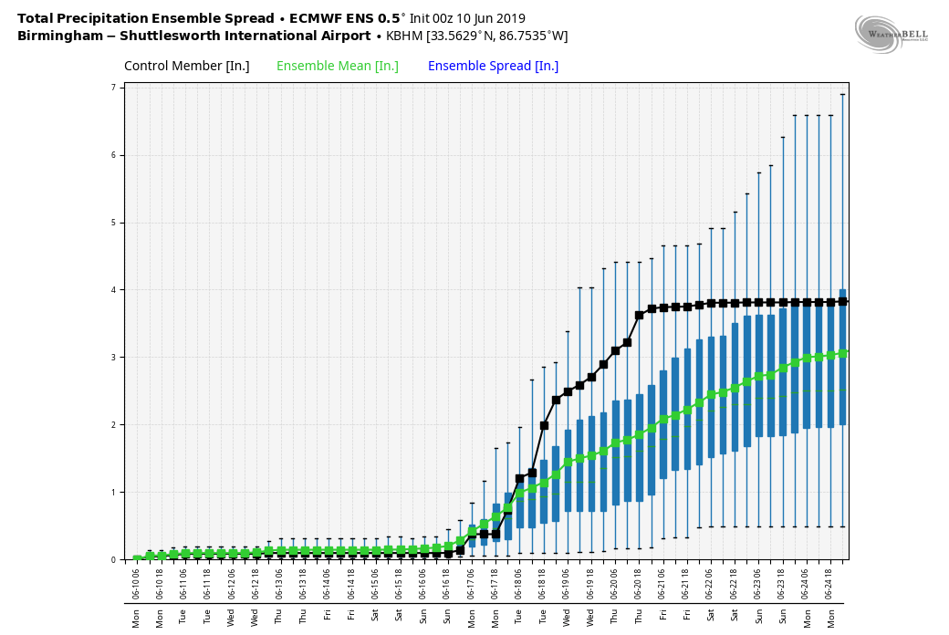
NEXT WEEK: A fairly moist airmass will sit over Alabama for much of the week, meaning the usual risk of afternoon and evening showers and storms in scattered spots… highs will be close to 90 degrees much of the week. See the Weather Xtreme video for maps, graphics, and more details.
SOAKING: Here are some storm totals across Alabama from our team of Skywatchers… these are rain totals from Wednesday through Sunday…
Coker 5.11″
Jemison 4.53″
Moody 3.73″
Mountain Brook 3.72″
Northport 3.19″
Morris 2.87″
Jacksonville 2.82″
Weaver 2.51″
Arley 2.14″
At the Birmingham Airport, the storm total is 2.75″… we now have a surplus of 1.69″ for the year.
ON THIS DATE IN 2012: South Alabama experienced excessive rain event… some locations received over 1 foot of rain which caused life-threatening flash flooding. Numerous roads, businesses and residences were flooded and some water rescues and evacuations had to be carried out. Three Flash Flood Emergencies were issued due to high water rescues and a private dam failure in southern Mobile County.
BEACH FORECAST: Click here to see the AlabamaWx Beach Forecast Center page.
WEATHER BRAINS: Don’t forget you can listen to our weekly 90 minute show anytime on your favorite podcast app. This is the show all about weather featuring many familiar voices, including our meteorologists here at ABC 33/40.
CONNECT: You can find me on all of the major social networks…
Facebook
Twitter
Instagram
Pinterest
Snapchat: spannwx
Look for the next Weather Xtreme video here by 7:00 a.m. tomorrow…
Category: Alabama's Weather, ALL POSTS, Weather Xtreme Videos
About the Author (Author Profile)
James Spann is one of the most recognized and trusted television meteorologists in the industry. He holds the AMS CCM designation and television seals from the AMS and NWA. He is a past winner of the Broadcast Meteorologist of the Year from both professional organizations.Subscribe
If you enjoyed this article, subscribe to receive more just like it.


