Risk Of Scattered Storms Continues Through Monday
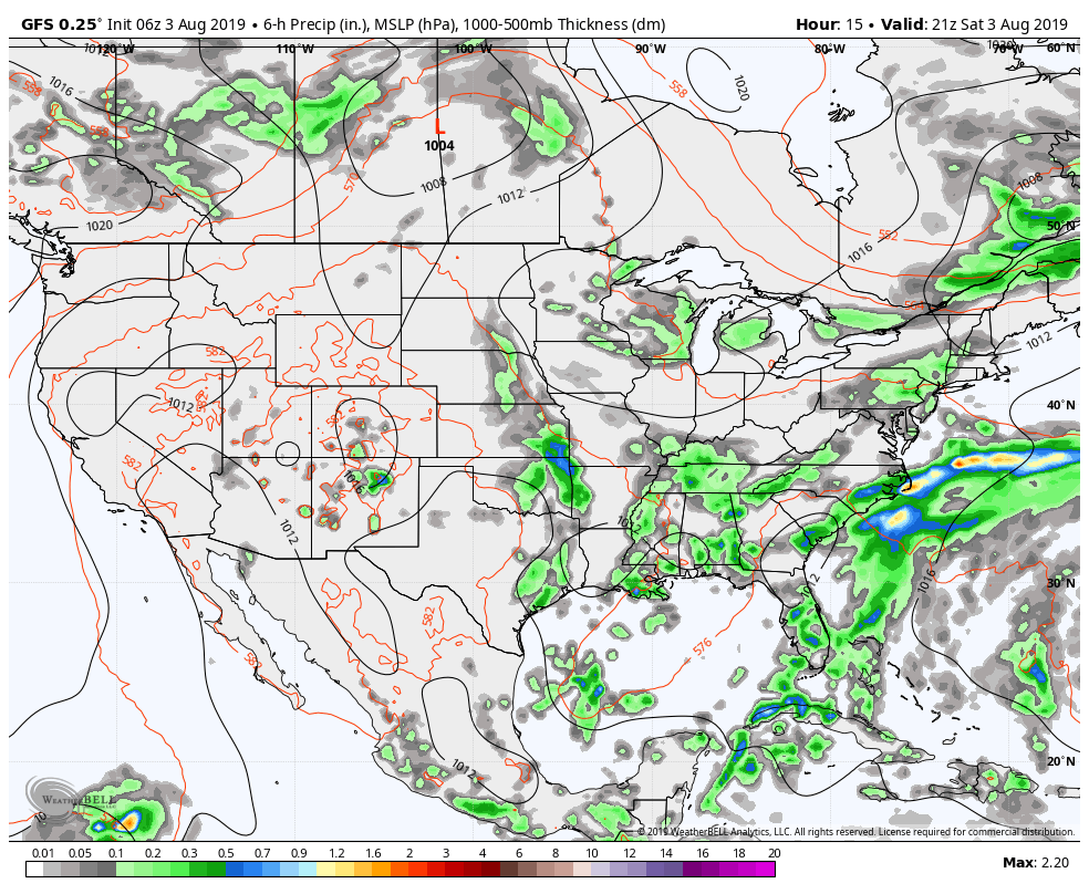
06z GFS valid today at 4:00 pm.
SCATTERED SHOWERS & STORMS REMAIN POSSIBLE THROUGH THE WEEKEND
Looks like it will be wet at times during the weekend as chances will increase during the main daylight heating on both days, thanks in part to a weakening upper-level low that will be located over the northern Gulf of Mexico. Scattered shower and storm chances will be up in the 30%-60% range on Saturday across the area with the higher rain chances over the eastern 2/3rds of the area. Highs will be in the upper 80s to the lower 90s.
Scattered to numerous showers and storms will be likely on Sunday with highs reaching the mid-80s to the lower 90s. Most of the activity will occur during the late morning through the early evening hours with rain chances topping out at 60%-70%.
NEXT WEEK
Not much change in the forecast for Monday as an elevated chance of scattered to numerous showers and thunderstorms will continue mainly for the late morning through the early evening hours. Highs will be in the upper 80s to the lower 90s. We might need to watch for storms with gusty winds as some drying in the mid-levels of the atmosphere is forecast to happen.
Tuesday through Friday’s weather will be back to a more typical summertime pattern for early August in Central Alabama. Look for a good bit of sunshine early with clouds building and isolated to scattered showers and storms forming during the afternoon hours. Highs will be up in the upper 80s to the lower 90s each day.
THE TROPICS
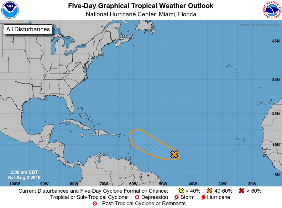
A tropical wave in the Central Atlantic, known as Invest 96L, is several hundred miles east-southeast of the Lesser Antilles. It looks like shear will increase as the system approaches the Leeward Islands in 3-5 days, and will hamper the overall chance of development. If anything happens to form in this region, there is a very good chance it recurves out into the open Atlantic before getting close to the U.S. The NHC has a 40 percent chance of development on Invest 96L over the next 5 days. The rest of the Atlantic basin is very quiet, including the Gulf of Mexico.
ON THIS DAY IN WEATHER HISTORY
1970 – Hurricane Celia struck the coast of Texas producing wind gusts to 161 mph at Corpus Christi, and estimated wind gusts of 180 mph at Arkansas Pass. The hurricane was the most destructive of record along the Texas coast causing 454 million dollars damage, and also claimed eleven lives.
BEACH FORECAST CENTER
Get the latest weather and rip current forecasts for the beaches from Fort Morgan to Panama City on our Beach Forecast Center page. There, you can select the forecast of the region that you are interested in.
WEATHERREADY FEST IS COMING TO HUNTSVILLE
WeatherReady Fest is coming to Huntsville, Alabama on September 7, 2019, from 10:00 am to 4:00 pm on the campus of UAH, the perfect venue for the event! The campus will be transformed into a preparedness and resiliency hub with exciting learning activities, informative exhibits, engaging speakers and luminary celebrities. An exciting array of Emergency Response Vehicles will set the stage when attendees arrive at the facility. Admission is FREE but get your timed tickets now. For tickets and more information, please visit the WeatherReady Fest website.
ALREADY OFF TO A HOT START IN 2019! ADVERTISE WITH THE BLOG!
After a record-setting 2018 with over 19.7 million page views, AlabamaWx.com is already well on its way to setting another record as we’re nearing 12 million page views so far in 2019! Don’t miss out! We can customize a creative, flexible and affordable package that will suit your organization’s needs. Contact Bill Murray at (205) 687-0782.
E-FORECAST
Get the Alabama Wx Weather Blog’s Seven-Day Forecast delivered directly to your inbox by email twice daily. It is the most detailed weather forecast available in Central Alabama. Subscribe here… It’s free!
CONNECT WITH THE BLOG ON SOCIAL MEDIA
You can find the AlabamaWx Weather Blog on the major social media networks:
Facebook
Twitter
Instagram
WEATHERBRAINS
Don’t forget you can listen to our weekly 90 minute netcast anytime on the web at WeatherBrains.com or on iTunes, Stitcher, or Spotify. This is the show all about weather featuring many familiar voices, including the meteorologists at ABC 33/40.
Category: Alabama's Weather, ALL POSTS, Weather Xtreme Videos
About the Author (Author Profile)
Scott Martin is an operational meteorologist, professional graphic artist, musician, husband, and father. Not only is Scott a member of the National Weather Association, but he is also the Central Alabama Chapter of the NWA president. Scott is also the co-founder of Racecast Weather, which provides forecasts for many racing series across the USA. He also supplies forecasts for the BassMaster Elite Series events including the BassMaster Classic.Subscribe
If you enjoyed this article, subscribe to receive more just like it.


