Storms Fairly Numerous Again Today; Begin to Thin Out Tomorrow
All signs point to today featuring fairly widespread showers and thunderstorms across North and Central Alabama. Let’s dig into the details.
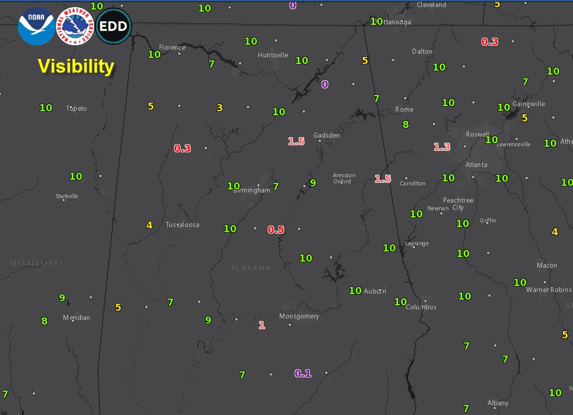
FIRST, SOME DENSE FOG: Dense fog has formed in spots across West Central and eastern Alabama this morning. Visibilities have been less than 1/4 mile in spots. Be cautious if you are driving and be alert for rapidly changing sightlines. Reduce speed and keep headlight beams on low. The fog will burn off by 9 a.m. mostly.
ON THE WEATHER MAPS THIS MORNING: A longwave upper trough covers the eastern United States including Alabama and the Deep South. Surface pressures are low across the southeastern United States, with low-level troughs present as well. In the meantime, precipitable water values will be on the rise across North and Central Alabama. All of these factors will conspire to fire up showers and storms by late morning across the area. Storms will exhibit slow and erratic movement. But they won’t be able to produce much in the way of flooding since each individual cell won’t be able to last very long in the lightly sheared environment. The atmosphere will be moist, which doesn’t make for really strong winds generally, but thunderstorm outflows could still produce gusts of 30-40 mph.
NEW WORK WEEK: Monday will feature less abundant moisture across the area, which will cause rain chances to back off just a bit. While the storms may be less widespread, they could pack a bit more of a punch because of mid-level dry air.
TUESDAY: Our atmosphere continues to dry out on Tuesday, meaning fewer showers and storms. It will be a fairly typical summertime day across Alabama with only isolated afternoon storms. Highs will be in the lower 90s.
TUESDAY NIGHT AND BEYOND: An amplification in the upper-level trough may allow for a ”frontal” passage Tuesday night into Wednesday. This could enhance shower/storm chances on Wednesday before drier air moves in for Thursday. A persistent northwesterly flow aloft could throw a cluster of storms at us at just about anytime though during the week.
WEEKEND OUTLOOK: Fairly typical summertime weather will prevail into the weekend. Partly cloudy skies, with widely scattered afternoon and evening showers and storms, and highs in the lower 90s. Lows will be in the lower 70s.
VOODOO COUNTRY: It looks like a frontal system may try to approach Alabama around Tuesday, August 13th. That could bring better rainfall amounts.
RAIN TOTALS: The GFS is pretty generous with rainfall over the next two weeks, generating widespread 2.5-4 inch amounts across North and Central Alabama. Let’s hope so. We can use the rain.
TROPICS: No disturbances are forecast to become tropical cyclones over the next ten days across the Atlantic Basin.
GULF COAST WEATHER: Hot and humid along the beautiful beaches of Alabama and Northwest Florida in the week ahead. Showers and storms will be a daily occurrence, but the best chances will come on Monday it appears. 5-8 hours of sun is expected each day. Waves are running one foot or less and the rip current risk is correspondingly low. Highs will be in the lower 90s. Lows will be in the middle 70s.
Click here to see the Beach Forecast Center page.
WEATHERBRAINS: This week, the panel will entertain one of our regular listeners from Scotland, Richard Cooke, who chases storms regularly in the United States. We will also have some amazing students on from UAH to talk about our amazing National Weather Association Foundation WeatherReady fest that will be on September 7th there. Check out the show at www.WeatherBrains.com. You can also subscribe on iTunes. You can watch the show live at live.bigbrainsmedia.com You will be able to see the show on the James Spann 24×7 weather channel on cable or directly over the air on the dot 2 feed.
ON THIS DATE IN 2009: Serious flash flooding affected southern Indiana and North Central Kentucky, including the Louisville Metro area. I-65 was closed in downtown Louisville and several buildings were flooded, including the downtown public library, which suffered an estimated $1 million in losses. Some of the barns at Churchill Downs were flooded. 4.50 inches of rain fell at Standiford International Airport, the most ever recorded on an August day. Three inches of that fell in one hour. Five inches of rain reportedly fell in 90 minutes din downtown Louisville. Follow my weather history tweets on Twitter. I am @wxhistorian at Twitter.com.
Category: Alabama's Weather, ALL POSTS
About the Author (Author Profile)
Bill Murray is the President of The Weather Factory. He is the site's official weather historian and a weekend forecaster. He also anchors the site's severe weather coverage. Bill Murray is the proud holder of National Weather Association Digital Seal #0001 @wxhistorianSubscribe
If you enjoyed this article, subscribe to receive more just like it.


