Another Hot and Sunny Day Across Alabama
Post by Meteorologist Johnny Parker
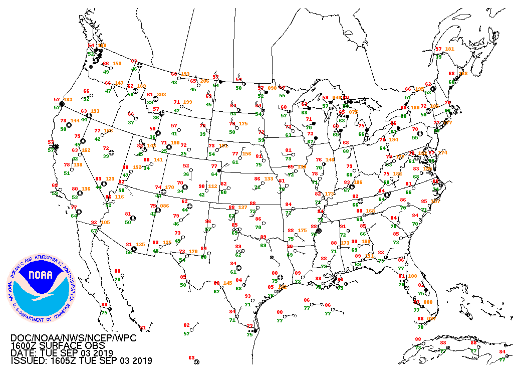
It is a clear sky across Alabama around noon time. Temperatures are in the high 80s to low 90s with plenty of sunshine to go around. Rain chances will be very isolated at best through the end of the week into the weekend.
A look at the Tropics And Hurricane Dorian:
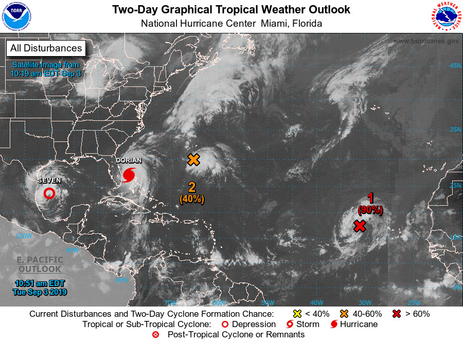
We are in the month of September, and right on schedule, the Atlantic is becoming more active.
Hurricane Dorian is finally moving off to the Northwest after battering the Bahamas for more than 24 hours. Although it is closing in on Florida, it is not expected to make landfall in the Sunshine State. However, storm surge will be an issue along the east coast of Florida.
It is expected to parallel the Southeast coast through Friday where storm surge and heavy rainfall will continue to impact coastal regions. It may come close to making landfall on the North Carolina Outer Banks early Friday morning.
Elsewhere in the Atlantic, newly formed Tropical Storm Ferdinand has formed over the Western Gulf and will impact northeast Mexico by late tomorrow. Extreme South Texas will experience flooding rains and rough surf. There is a 20-30% chance that Brownsville will see trop[ical storm force winds.
Ferdinand is pronounced “fair-NAHN”.
Two other areas are being monitored for development but should not affect the United States coastline anytime soon.
Category: Alabama's Weather, ALL POSTS, Tropical
About the Author (Author Profile)
Bill Murray is the President of The Weather Factory. He is the site's official weather historian and a weekend forecaster. He also anchors the site's severe weather coverage. Bill Murray is the proud holder of National Weather Association Digital Seal #0001 @wxhistorianSubscribe
If you enjoyed this article, subscribe to receive more just like it.


