Saturday Morning Weather Xtreme: The Heat Continues
NO WEATHER XTREME VIDEO THIS MORNING BECAUSE OF WEATHERREADY FEST
Good morning from Huntsville. The whole team is here this morning, including me, Scott, and James, for WeatherReady Fest 2019! Come bring the family from 10-4 for a day of weather fun and learning at UAH. The event is free and will be held in the Charger Student Union and Shelby Center. There will be weather balloon launches, tours of mobile Doppler radars and other weather vehicles from UAH, speakers, kids’ activities, two great stage shows, and a book signing by our very own James Spann. Get your Passport at Registration and get it stamped to win great door prizes with Nick Walker from The Weather Channel! Come join us!
GOODBYE DORIAN: Terrible Hurricane Dorian is still a hurricane this morning and probably won’t complete its transition to extratropical cyclone until after it deals a pretty good blow to Nova Scotia tonight and early Sunday. The system blew by eastern New England early this morning and is racing northeast at nearly 30 mph. The storm’s name will be retired, with good cause, after leaving a humanitarian crisis in the Bahamas.
ELSEWHERE IN THE TROPICS: We are watching two disturbances a long way off that could have implications for interests in the Caribbean and eventually the U.S. One, 94L, is past the Cape Verde islands and will reach the islands in 6-7 days. It has a pretty good chance to be a tropical depression or tropical storm by midweek. The second disturbance, still over western Africa, might even have a better chance at development, but it isn’t even on the board yet. We will have plenty of time to watch both of them.
THE HEAT IS ON: A heat advisory is in effect for parts of Central Alabama for today, including Autauga, Barbour, Bibb, Bullock, Chilton, Dallas, Elmore, Greene, Hale, Lee, Lowndes, Macon, Marengo, Montgomery, Perry, Pickens, Pike, Russell, Sumter, and Tuscaloosa Counties. Heat index values this afternoon will approach or exceed 105F with highs in the lower and middle 90s. Take it easy if you are going to be outside working or playing today.
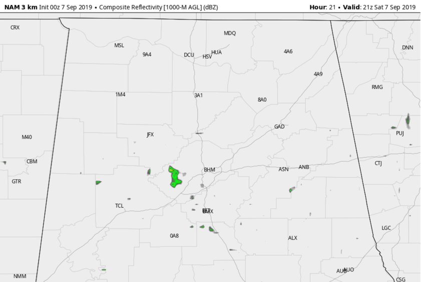
SMALL CHANCE OF A STRONG STORM TODAY: All indications point to a dry, hot day across the area, but the models try to scare up an isolated storm this afternoon. The chance will be very small, but any that do get going could pack a punch with lots of instability present. They could produce strong, gusty winds. Here is the 3km NAM for mid-afternoon:
HUMDRUM, HOT FORECAST: Other than today, and a small chance on Tuesday, the next seven days will be dry in Central Alabama. Expect partly cloudy skies each day, with highs in the middle to upper 90s. Lows will be in the middle to upper 60s early in the week, and pushing into the lower 70s by the end.
NEXT GOOD RAIN CHANCE: There’s not really one, although we return to more of a scattered shower and storm pattern by around the 16th-17th.
VOODOO COUNTRY: The GFS is worrying about that tropical system being a fairly large hurricane north of the Lesser Antilles. But it also hints that it may be turning north over the open ocean. That’s fine with us.
FOOTBALL WEATHER: For the high school games tonight, the sky will be clear with temperatures falling from the mid-80s at kickoff, into the upper 70s by the final whistle.
This afternoon, Alabama hosts New Mexico State at Bryant-Denny Stadium in Tuscaloosa (3p CT kickoff)… it will be a sizzling afternoon with a kickoff temperature near 97 degrees, falling into the low 90s by the fourth quarter. The sky will be mostly sunny. Keep the heat in mind as you attend the game.
Auburn will host Tulane this evening (6:30p CT kickoff)… It will be a little better in Auburn thanks to the start time but you still need to be careful of the heat. The sky will be clear with temperatures falling from 90 degrees at kickoff into the upper 70s by the final whistle.
UAB is on the road… they travel to Akron, Ohio to play the Zips today (11a CT kickoff). The sky will be mostly sunny with temperatures rising from near 70 at kickoff, into the mid-70s by the fourth quarter. Boy, that sounds wonderful!
BEACHES: You would think it was July at the beach as well. Almost no rain this week, lots of sunshine each day, and hot temperatures. HIghs will be in the middle 90s each day with lows in the middle 70s.
WEATHERBRAINS: This week we will be coming to you live from the National Weather Association Meeting in Huntsville with a squad of great guests. Getting good guests up here is like shooting fish in a barrel. They’re a dime a dozen! Check us out at www.WeatherBrains.com.
ON THIS DATE IN 1965: The all-too-familiar red pennant flag with a black square in the center was raised over South Florida as a Hurricane Watch went into effect for dangerous Hurricane Betsy. Betsy had described an erratic course off the Florida coast for several days, eventually being pushed west by high pressure that filled into the north, blocking the hurricane’s forward progress. The Watch was changed to a Hurricane Warning by noon and South Florida settled in for a protracted siege. Tens of thousands of visitors, preparing for an enjoyable Labor Day weekend, made gangway for the unpredictable hurricane. Betsy would move ashore just south of Miami early on the morning of the 8th and move over the Gulf, eventually striking Louisiana. The storm’s erratic motion prompted a public outcry that the government had performed seeding experiments on the hurricane. Betsy was the first billion-dollar hurricane, causing $1.4 billion in damage and killing 75 people.
Category: Alabama's Weather, ALL POSTS
About the Author (Author Profile)
Bill Murray is the President of The Weather Factory. He is the site's official weather historian and a weekend forecaster. He also anchors the site's severe weather coverage. Bill Murray is the proud holder of National Weather Association Digital Seal #0001 @wxhistorianSubscribe
If you enjoyed this article, subscribe to receive more just like it.


