Alabama Weather Update at 11:30 a.m.: Clouds Hang Tough Over North, Some Sunshine Southeast
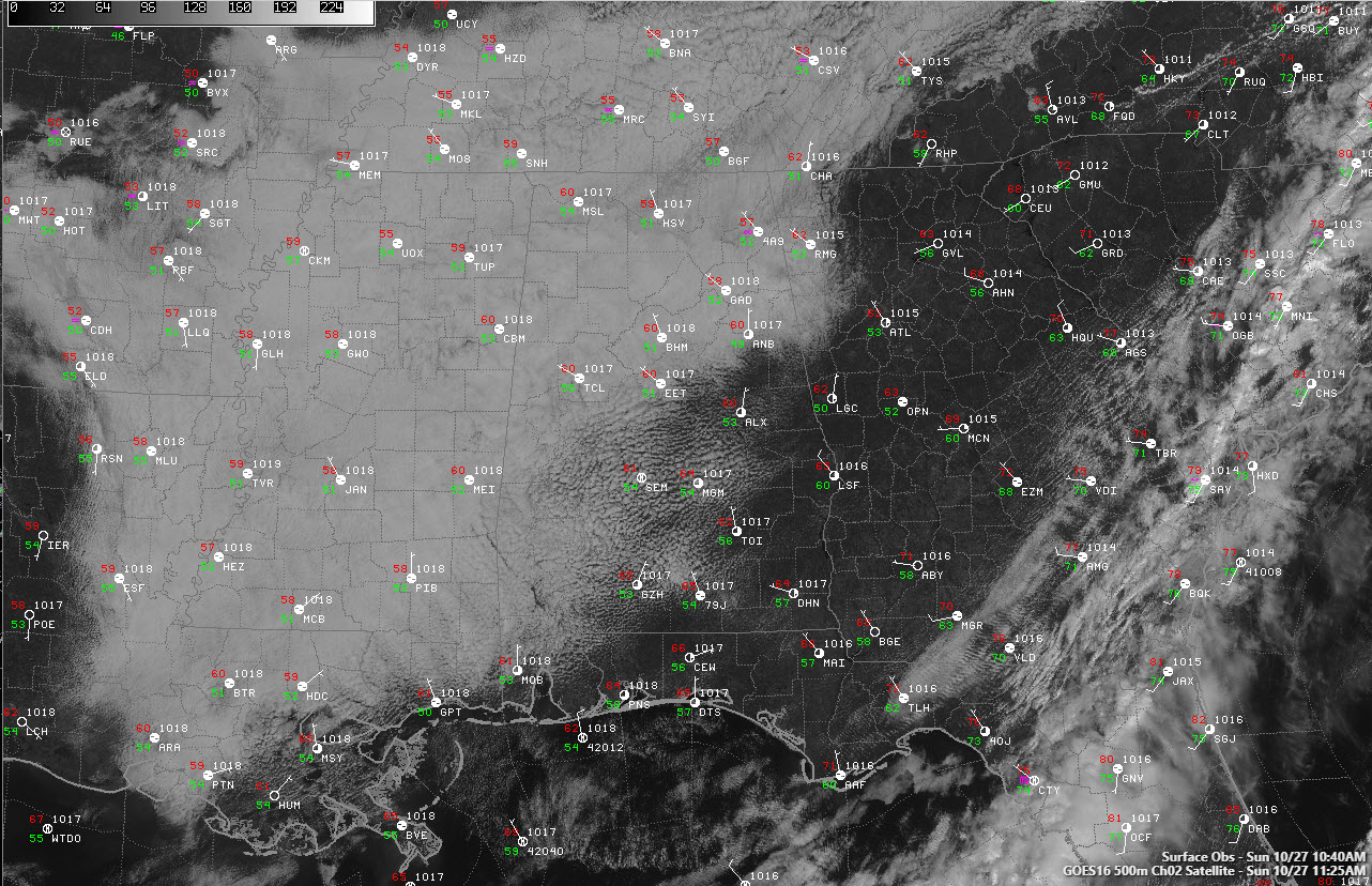
Clouds have been slow to break up across the northern third of the state this morning. Areas that saw some sunshine early, generally south of I-20, have seen a thick layer of stratocumulus clouds fill back in. Temperatures in the cloudy areas have been limited to the 50s and lower 60s. Sunshine was pushing readings over the southern two-thirds of the area further into the 60s. When the day is done, high temperatures will range between 65F-70F over the northern half of the state, with some lower 70s over the South Central part of the state.
SETTING THE STAGE FOR A PERFECT MONDAY: The only fly in the ointment that will mar an otherwise perfect Monday will be early morning low clouds. Morning readings will start off in the upper 40s and lower 50s but will rise into the middle and upper 70s as the sun gradually returns. Winds will shift around to the south during the day and moisture levels will slowly start rising again.
BY TUESDAY: We will be eyeing the stationary front to the southeast. It will spread showers northward into the state, and for now, it appears that they will remain southeast, but we will keep a little in the forecast just in case. Things will feel quite nice Tuesday, with highs again in the 70s.
WEDNESDAY WILD CARD: There is increasing consensus between the models that Thursday will be wet, with just a little bit of difference in when the two global models think the rain will begin. The Euro has much of Wednesday wet, while the GFS keeps us dry for most of the day with storms arriving overnight. Those storms could be strong over northwestern sections of the state late Wednesday night.
THURSDAY STRONG STORMS: Showers and thunderstorms will be likely ahead of a cold front on Thursday. It does appear that instability values will be fairly high on Thursday afternoon and if the timing is right, some of the storms could be strong or even severe. Dew points in the 60s to near 70, CAPE values in the 2,000 joules/kg range, strong winds in all levels of the atmosphere, and the proximity of a low-pressure system over southern Tennessee could add up to a severe weather threat. Stay tuned.
WEEKEND OUTLOOK: The slow-moving front will clear the area by Friday morning, with clearing skies and cooler conditions as high pressure builds in. The weekend will be fair and cool, with highs in the lower 60s and lows in the 30s and lower 40s.
Category: Alabama's Weather, ALL POSTS
About the Author (Author Profile)
Bill Murray is the President of The Weather Factory. He is the site's official weather historian and a weekend forecaster. He also anchors the site's severe weather coverage. Bill Murray is the proud holder of National Weather Association Digital Seal #0001 @wxhistorianSubscribe
If you enjoyed this article, subscribe to receive more just like it.


