

Beautiful, Cool Sunday in Progress; Increased Clouds Monday; Clearing Tuesday; Mild Midweek; Cooler for the Weekend
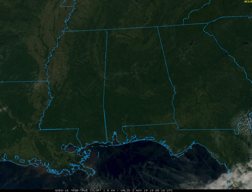
Skies are mostly clear across Alabama this afternoon.
A beautiful Sunday afternoon is in progress across Central Alabama. Skies are mostly sunny with just a few high clouds streaming across in the fast upper-level flow.
Temperatures are warming through the upper 50s heading for afternoon highs in the 58-61F range over North Alabama, 60-63F over North Central Alabama, and 63-66F over South Central Alabama.
Clouds will increase a bit overnight, and temperatures will hover in the upper 30s and lower 40s by morning, so no frost like this morning.
High and mid-level clouds will continue to increase on Monday as moisture increases in that fast flow aloft and the trough to the northwest amplifies. This will help gin up a cold front to our northwest as well. There will not be enough moisture overall to produce much if any in the way of precipitation, but don’t be surprised if you encounter a few light sprinkles from time to time, especially Monday afternoon and evening. Highs on Monday will be in the 60s areawide with lower 60s north, middle 60s central and upper 60s across southern sections.
The front will push through Alabam during the day on Tuesday but clouds will be scarce as the upper levels of the atmosphere dry out, and not before highs reach the upper 60s north and 70-72F across the middle of the state.
A ridge of high pressure in the upper levels of the atmosphere will build over the southern U.S. Wednesday. At the same time, a big surface high over the Ohio Valley will move to the East Coast by Thursday. Wednesday will be a beautiful day, with highs in the lower 70s and plenty of sunshine. Lows will be in the 40s.
The surface high will move to the East Coast by Thursday, and moisture will begin to surge northward ahead of a developing upper-level trough. Showers will break out across Alabama by Thursday afternoon and rain will become likely by late Thursday evening into the morning hours on Friday. The front will push through the area early Friday, leading to much cooler conditions. Highs on Thursday will be in the upper 60s to lower 70s. Rainfall amounts will range between one half and one inch across the area.
The weekend will be cool and dry, with highs Saturday and Sunday in the 61-65F range. Lows will be in the low 30s Saturday morning, resulting ina fairly widespread freeze. Sunday Lows will be in the 40s.
Out in voodoo country, look for a fairly deep trough to bring more rain to Alabama around Monday the 11th with an even deeper trough by Saturday the 16th that results in a cut off low and another round of rain. A surge of moisture on that Saturday could mean some really wet weather. The trend toward wet continues through Monday and Tuesday the 18th and 19th as well.
Category: Alabama's Weather, ALL POSTS
About the Author (Author Profile)
Bill Murray is the President of The Weather Factory. He is the site's official weather historian and a weekend forecaster. He also anchors the site's severe weather coverage. Bill Murray is the proud holder of National Weather Association Digital Seal #0001 @wxhistorianSubscribe
If you enjoyed this article, subscribe to receive more just like it.


