The Potential For Strong To Severe Storms Continues For Sunday
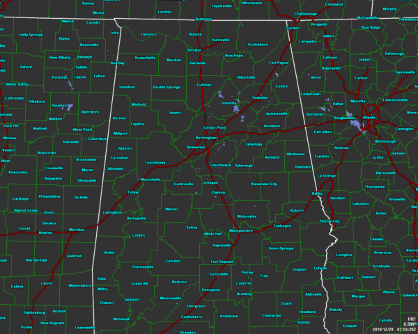
As we have reached the 8 o’clock hour on this last Saturday night of 2019, showers have pretty much come to an end across Central Alabama with the exception of a few spotty light showers or sprinkles mainly over northeastern parts of Jefferson County and over into parts of Blount, St. Clair, and Etowah counties. It looks like dry conditions for the rest of the area.
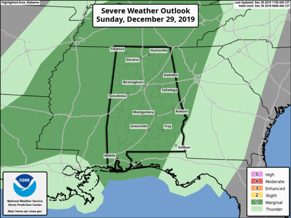
As far as the potential threat for strong to severe storms for Central Alabama on Sunday, no real change in the forecast has been made. We are still looking at the main window for stronger to severe storms to occur from noon to midnight across the area, with the possibility of isolated damaging wind gusts up to 60 MPH and a brief tornado or two. The Storm Prediction Center continues with a Marginal Risk across all of Central Alabama on Sunday.
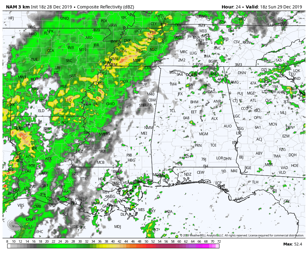
We are looking at the possibility of two waves of storms move into the area during the afternoon and evening hours. The above animation is the simulated radar valid from 12 pm Sunday to 3 am Monday (18z NAM-3k). The first wave will be out ahead of the front and looks to enter the area around 2-4 pm as a broken line of cellular to supercellular thunderstorms. The second will be just in front of the cold front and will begin to move into the area around the 7-9 pm time frame as a squall line. The front and second line of storms will be in the process of weakening as it moves through and should lose the potential of forming severe storms around midnight.
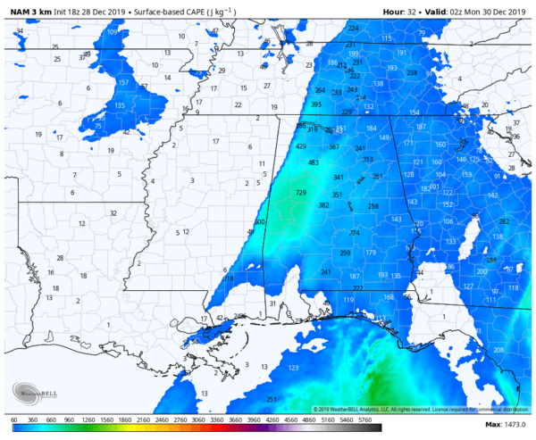
Surface-Based Instability valid at 8 pm (18z NAM-3k).
Surface-based instability values are a little higher with this run of the NAM-3k, now reaching as high as 800 J/kg. That’s more than enough to support stronger to severe storms during these winter-type systems. Wind shear continues to be projected strong topping out around 60-65 knots in some locations. Helicity continues to show values up as high as 556 m2/s2 which is well more than enough to support severe storms.
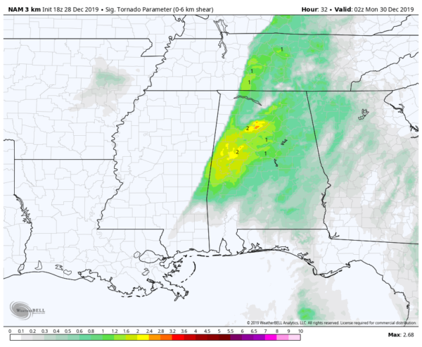
Significant Tornado Parameter valid at 8 pm (18z NAM-3k).
Significant Tornado Parameter values are still showing in the 2.0-2.5 range. When numbers are higher than one, the more of a chance of a tornadic thunderstorm occurring.
So, as you can see with the above details, we will have a risk of strong to severe storms that will have the potential to spin up a brief tornado or have isolated damaging wind gusts up to 60 MPH. Lapse rates are too low for the development of any large hail, so that is not included as a threat.
This event is nothing like the previous one, but we will have to remain on our toes as this is still the middle of our secondary severe weather season in Central Alabama. We’ll have updates throughout the day on Sunday and post any watches or warnings if/when they are issued.
Category: Alabama's Weather, ALL POSTS, Severe Weather
About the Author (Author Profile)
Scott Martin is an operational meteorologist, professional graphic artist, musician, husband, and father. Not only is Scott a member of the National Weather Association, but he is also the Central Alabama Chapter of the NWA president. Scott is also the co-founder of Racecast Weather, which provides forecasts for many racing series across the USA. He also supplies forecasts for the BassMaster Elite Series events including the BassMaster Classic.Subscribe
If you enjoyed this article, subscribe to receive more just like it.


