

Very Nice At Midday; Potential Significant Severe Weather Threat Shaping Up For Saturday
Weather For The Rest Of Your Hump Day
Sunny skies across all of Central Alabama as we approach the midday hour with temperatures in the mid-50s to the lower 60s across the area. Skies will continue to stay sunny through the rest of the daylight hours with highs maxing out in the upper 50s to the lower 60s. Skies will remain clear tonight and overnight lows will dip down into the mid to upper 30s.

NWS Birmingham Continues Enhanced Risk For Saturday
All counties in the NWS Birmingham’s county warning area have been included in an Enhanced Risk (level 3 of 5) for severe storms on Saturday. This rough estimate on timing for severe storms across the area looks to be from 9:00 am to 6:00 pm. Tornadoes and damaging winds up to 70 MPH will be possible.

All counties in the NWS Mobile’s county warning area have also been included in an Enhanced Risk for very late on Friday night through Saturday. NWS Huntsville does not have a severe weather outlook graphic out for their county warning area as of yet, but I’m sure they will put one out before the event arrives on Saturday. I would go ahead and prepare for an Enhanced Risk if you are in those counties.

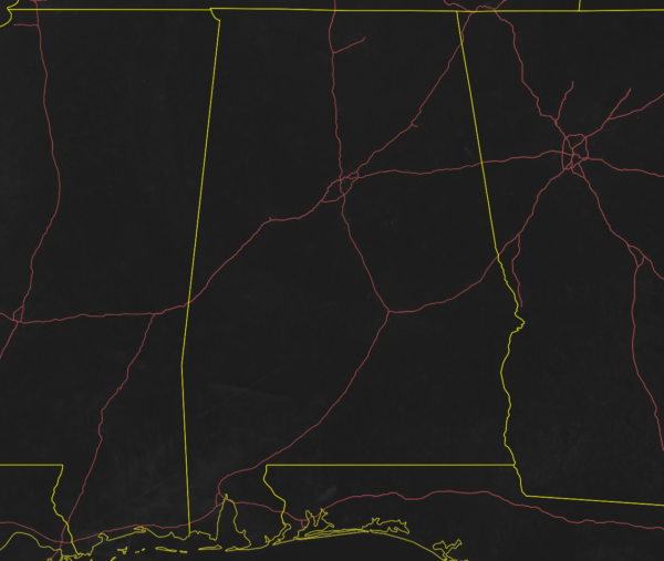
Just in case you would like to know what counties are served by what NWS office, the above graphic will provide you the information needed. There are four NWS offices that cover the 67 counties in the state of Alabama.
Latest Thoughts On The Event
At this point, all of the meteorologists are waiting for the higher-resolution, convection-allowing models to start rolling in. By tonight at 6:00 pm, we should be able to start getting a better look at what we can expect on Saturday and refine the forecast and timing of the severe storms.
With that being said, we could start seeing storms move into the area as early as 9:00 am along the AL/MS state line and will progress across Central Alabama throughout the day. By 12:00 pm, the main line of storms should be entering the west-central locations of the area, but that is when we will need to really watch out ahead of the line. There is the potential for supercells to develop out ahead of the main squall line with the heating of the day that could lead to the formations of severe storms with the potential for tornadoes. With this setup, we could see the potential for a long-track strong tornado or two (EF2 or greater) with those supercells. By 6:00 pm, all of the activity should be crossing the AL/GA state line. Once again, this is determined by long-range models. We’ll have a better idea later this evening.

No Need To Panic, But Now Is The Time To Be Prepared
While we are still three days away… don’t wait. Get prepared now. Here are some important links for you to visit if you have any questions about safety kits and tornado safety:
Emergency Supplies Kit
Prepare For A Tornado
Difference Between A Watch & A Warning
What To Do During A Tornado
What To Do After A Tornado
Have Several Ways To Receive Warnings
Be sure you have several ways to receive weather alerts before and during severe weather. Have your Wireless Emergency Alerts (WEAs) activated on your smartphone. Have an NOAA WeatherRadio tuned for your location and make sure it has fresh batteries. Download your favorite news station’s weather app so you can watch live coverage on your smartphone while you are in your safe place or if the power is out.
Category: Alabama's Weather, ALL POSTS, Severe Weather
About the Author (Author Profile)
Scott Martin is an operational meteorologist, professional graphic artist, musician, husband, and father. Not only is Scott a member of the National Weather Association, but he is also the Central Alabama Chapter of the NWA president. Scott is also the co-founder of Racecast Weather, which provides forecasts for many racing series across the USA. He also supplies forecasts for the BassMaster Elite Series events including the BassMaster Classic.Subscribe
If you enjoyed this article, subscribe to receive more just like it.


