

EXPIRED – Severe T-Storm Warning: Parts of Lauderdale & Colbert Counties Until 8:15 AM
BULLETIN – IMMEDIATE BROADCAST REQUESTED
Severe Thunderstorm Warning
National Weather Service Huntsville AL
714 AM CST Sat Jan 11 2020
The National Weather Service in Huntsville Alabama has issued a
* Severe Thunderstorm Warning for…
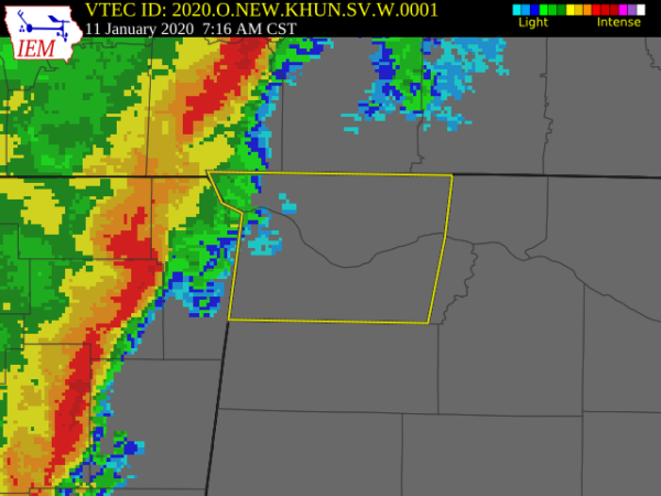
Lauderdale County in northwestern Alabama…
Colbert County in northwestern Alabama…
* Until 815 AM CST.
* At 713 AM CST, severe thunderstorms were located along a line
extending from near Pineflat to near Burton to 7 miles north of
Sandy Springs, moving east at 40 mph.
HAZARD…60 mph wind gusts.
SOURCE…Radar indicated.
IMPACT…Expect damage to roofs, siding, and trees.
* Locations impacted include…
Florence, Muscle Shoals, Sheffield, Tuscumbia, Killen, Cherokee,
Littleville, Leighton, St. Florian and Underwood-Petersville.
PRECAUTIONARY/PREPAREDNESS ACTIONS…
A Tornado Watch remains in effect until 100 PM CST for north central
and northwestern Alabama.
Remain alert for a possible tornado! Tornadoes can develop quickly
from severe thunderstorms. If you spot a tornado go at once into the
basement or small central room in a sturdy structure.
For your protection move to an interior room on the lowest floor of a
building.
Category: Alabama's Weather, ALL POSTS, Severe Weather
About the Author (Author Profile)
Scott Martin is an operational meteorologist, professional graphic artist, musician, husband, and father. Not only is Scott a member of the National Weather Association, but he is also the Central Alabama Chapter of the NWA president. Scott is also the co-founder of Racecast Weather, which provides forecasts for many racing series across the USA. He also supplies forecasts for the BassMaster Elite Series events including the BassMaster Classic.Subscribe
If you enjoyed this article, subscribe to receive more just like it.


