Noon Update: Lots of Clouds; Showers Tonight
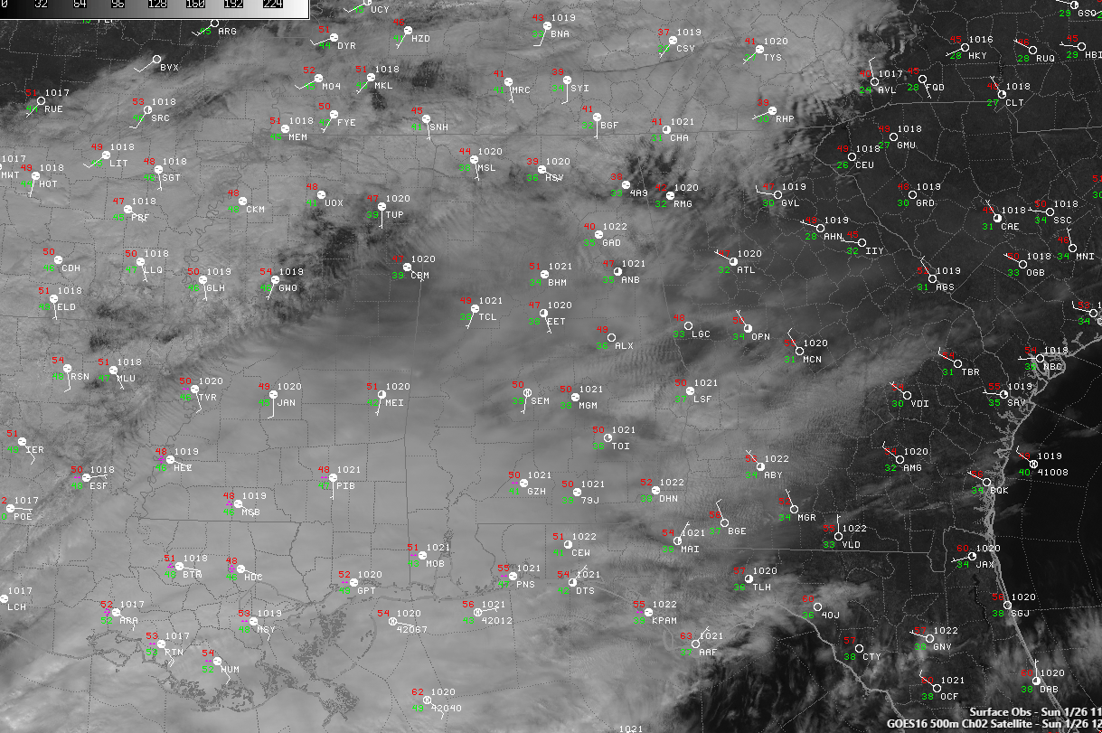
Clouds are pretty thick across Alabama as we head into Sunday afternoon thanks to abundant moisture at all levels of the atmosphere. That moisture is the result of an approaching disturbance that is bringing some pacific moisture along with it and a low over the Gulf picking up some moisture as it moves to sour south.
There are a few showers over South Alabama. North and Central Alabama are mainly dry, although there have been a few sprinkles over the northern part of the state.
Don’t see much in the way of changes to the forecast. Additional showers will move across North and Central Alabama this evening and into the pre-dawn hours. Rainfall amounts will be light and kind of spotty, meaning some folks will not get much in the way of rain at all. Overnight lows tonight will be in the 40s.
Rain will mainly end by sunrise, but there could be a little patchy drizzle through the morning hours. There will be some clearing through the late afternoon hours and Monday night will be partly cloudy and cool with lows in the middle and upper 30s.
Tuesday will be dry with a sunny start, but clouds moving in through the afternoon. A late-night shower is possible. Highs will be in the 50s.
More rain for Friday. The warmest day will be Sunday when highs will approach 60F.
Category: Alabama's Weather, ALL POSTS
About the Author (Author Profile)
Bill Murray is the President of The Weather Factory. He is the site's official weather historian and a weekend forecaster. He also anchors the site's severe weather coverage. Bill Murray is the proud holder of National Weather Association Digital Seal #0001 @wxhistorianSubscribe
If you enjoyed this article, subscribe to receive more just like it.


