A Late Morning Look at Midweek Severe Weather, Wintry Weather Chances
Our old friend Birmingham Bill, the local groundhog and weather prognosticator, was unable to make his annual prediction this morning according to Birmingham Zoo officials, who said he needed his beauty sleep more than we needed a fun but useless seasonal forecast. Perhaps they looked at the next two week’s temperatures off the GFS before giving the groundhog the year off and a chance to save face.
Today will be a beautiful day across Alabama. After a little patchy winter fog this morning, an increasing February sun is pushing temperatures up quickly across the state. Highs this afternoon will be warmest in the west, and coolest in the east. Afternoon readings will range from 64F around Gadsden to 65F in Birmingham, to 67F at Montgomery to 69F at Tuscaloosa.
Lows tonight will drop into the 40s under mostly clear skies, but clouds will be increasing as we go through the day on Monday. Not enough to keep high temperatures from pushing the 70F mark.
Rain will enter the state Monday night as a deep trough begins to push east and surface low-pressure forms to our west. Rain will come in a couple of waves on Tuesday, with the heaviest amounts over the northwestern portion of the state. It will be interesting to watch a wintry mix on the backside of the system over parts of Texas, Oklahoma, and Arkansas, with a severe weather threat developing in the warm sector over portions of western Mississippi, southeastern Arkansas and Louisiana Tuesday afternoon and night.
There are significant differences in the model output for the severe weather portion of the event for us. The European still keeps the surface low to our west, leading to a severe weather threat, while the GFS moves the surface low over southern Alabama, limiting the threat to areas southeast of the low’s track.
If the European verifies, there may be sufficient instability for strong to severe thunderstorms given the very strong wind fields that will be present across the South with a powerful jet stream edging in from the west.
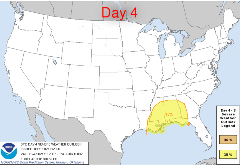
For now, we will call for a threat of severe thunderstorms with damaging wind and a few tornadoes for late Wednesday afternoon and night mainly for areas south of US-278, or south of a line from Hamilton to Cullman to Fort Payne.
The GFS solution is a little further east with the low, and it puts Alabama into the colder air Thursday night. It turns lingering light rain into a little light snow over the northern half of the state late Thursday night. Any accumulations would be light, less than one-half inch, and it is not even clear that snow is a possibility. But the GFS has been tenaciously hanging on to the idea for three runs. So it bears watching.
The Euro brings more rain in so Saturday, with snow over Tennessee, perhaps reaching down into the Tennessee Valley, so that will be something to watch as well. But we have plenty of time to do just that.
Category: Alabama's Weather, ALL POSTS
About the Author (Author Profile)
Bill Murray is the President of The Weather Factory. He is the site's official weather historian and a weekend forecaster. He also anchors the site's severe weather coverage. Bill Murray is the proud holder of National Weather Association Digital Seal #0001 @wxhistorianSubscribe
If you enjoyed this article, subscribe to receive more just like it.


