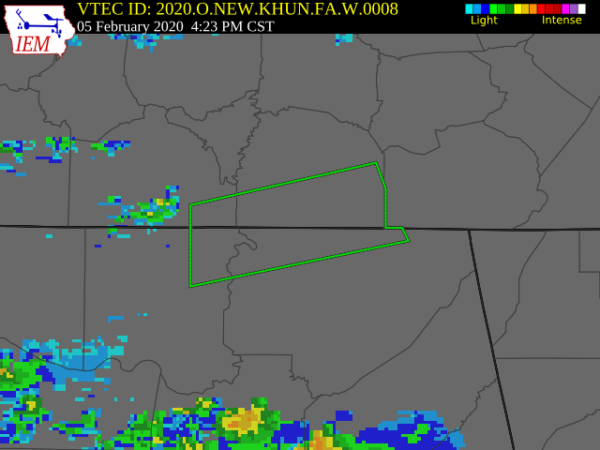
Areal Flood Warning: Extended For Parts Of Jackson & Madison Counties Until 10:30 PM
The National Weather Service in Huntsville Alabama has extended the
* Flood Warning for…
Northwestern Jackson County in northeastern Alabama…
Northeastern Madison County in north central Alabama…
Southeastern Lincoln County in Middle Tennessee…
Southern Franklin County in Middle Tennessee…
* Until 1030 PM CST Wednesday.
* At 420 PM CST, doppler radar has indicated up to two inches of
rain have already fallen. More rain is expected later this evening.
* Some locations that will experience flooding include…
Cowan, Huntland, New Market, Sewanee, Anderson, Hytop, Bass,
Plevna, Jericho and Russell Cave National Monument.
Additional rainfall amounts of one to two inches are possible in the
warned area.
PRECAUTIONARY/PREPAREDNESS ACTIONS…
Turn around, don’t drown when encountering flooded roads. Most flood
deaths occur in vehicles.
A Flood Warning means that flooding is imminent or occurring. All
interested parties should take necessary precautions immediately.
Category: Alabama's Weather, ALL POSTS, Severe Weather
About the Author (Author Profile)
Scott Martin is an operational meteorologist, professional graphic artist, musician, husband, and father. Not only is Scott a member of the National Weather Association, but he is also the Central Alabama Chapter of the NWA president. Scott is also the co-founder of Racecast Weather, which provides forecasts for many racing series across the USA. He also supplies forecasts for the BassMaster Elite Series events including the BassMaster Classic.Subscribe
If you enjoyed this article, subscribe to receive more just like it.


