New Flash Flood Watch Issued For All Of North Alabama
…FLASH FLOOD WATCH IN EFFECT FROM WEDNESDAY AFTERNOON THROUGH
LATE WEDNESDAY NIGHT…
The National Weather Service in Huntsville has issued a
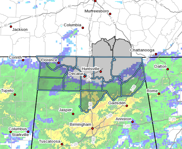
* Flash Flood Watch for North Alabama including the following counties: Colbert, Cullman, DeKalb, Franklin, Jackson, Lauderdale, Lawrence, Limestone, Madison, Marshall, and Morgan.
* From Wednesday afternoon through late Wednesday night
* Heavy rain returns to the area on Wednesday night as a cold front moves through the area. Another 1 to 1.5 inches of additional rainfall Wed. night into Thursday morning. Given already saturated soils, flash flooding is possible as heavy rain rates will runoff.
* This amount of rainfall will enhance the risk for flash flooding. Avoid low lying and poor drainage areas, and be careful when approaching low spots in highways and underpasses.
PRECAUTIONARY/PREPAREDNESS ACTIONS…
A Flash Flood Watch means that conditions may develop that lead to flash flooding. Flash flooding is a VERY DANGEROUS SITUATION.
You should monitor later forecasts and be prepared to take action should Flash Flood Warnings be issued.
Category: Alabama's Weather, ALL POSTS, Severe Weather
About the Author (Author Profile)
Scott Martin is an operational meteorologist, professional graphic artist, musician, husband, and father. Not only is Scott a member of the National Weather Association, but he is also the Central Alabama Chapter of the NWA president. Scott is also the co-founder of Racecast Weather, which provides forecasts for many racing series across the USA. He also supplies forecasts for the BassMaster Elite Series events including the BassMaster Classic.Subscribe
If you enjoyed this article, subscribe to receive more just like it.


