New Flash Flood Watch Issued For Most Of Central Alabama
..FLASH FLOOD WATCH IN EFFECT FROM WEDNESDAY AFTERNOON THROUGH THURSDAY MORNING…
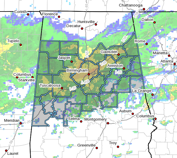
The National Weather Service in Birmingham has issued a
* Flash Flood Watch for portions of central Alabama, east-central Alabama, northeast Alabama, northwest Alabama, and west-central Alabama, including the following counties:
Bibb, Blount, Calhoun, Cherokee, Chilton, Clay, Cleburne, Coosa, Etowah, Fayette, Greene, Hale, Jefferson, Lamar, Marion, Perry, Pickens, Randolph, Shelby, St. Clair, Sumter, Talladega, Tuscaloosa, Walker, Winston
* From Wednesday afternoon through Thursday Morning
* Heavy rainfall with showers and thunderstorms will move into Central Alabama Wednesday night through Thursday morning associated with a cold front. An additional 1 to 1.5 inches of rainfall with isolated higher amounts are forecast, which may fall in a short period of time. Due to very saturated soil conditions and areal flooding still ongoing, flash flooding will be possible once again.
* Any heavy rainfall amounts in a short period of time will greatly enhance the risk of flash flooding due to already saturated soil conditions and rapid water runoff.
PRECAUTIONARY/PREPAREDNESS ACTIONS…
A Flash Flood Watch means that conditions may develop that lead to flash flooding. Flash flooding is a very dangerous situation.
You should monitor later forecasts and be prepared to take action should Flash Flood Warnings be issued.
Category: Alabama's Weather, ALL POSTS, Severe Weather
About the Author (Author Profile)
Scott Martin is an operational meteorologist, professional graphic artist, musician, husband, and father. Not only is Scott a member of the National Weather Association, but he is also the Central Alabama Chapter of the NWA president. Scott is also the co-founder of Racecast Weather, which provides forecasts for many racing series across the USA. He also supplies forecasts for the BassMaster Elite Series events including the BassMaster Classic.Subscribe
If you enjoyed this article, subscribe to receive more just like it.


