A Brief Check At 2:00 PM; A Few Strong/Severe Storms Possible Tonight
CONDITIONS AT 2:00 PM
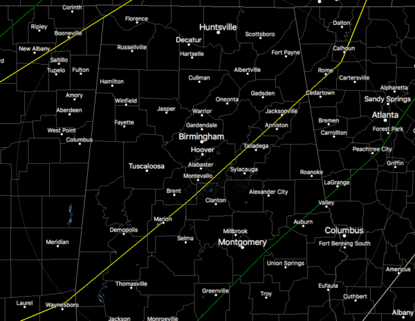
As of 2:00 pm, radar is all quiet across North/Central Alabama and there are actually a few thin spots in the cloud cover that was allowing the sunshine to reach the surface for a little bit and warm that atmosphere just a tad.
Temperatures were in the upper 50s to the lower 80s across the area. It is 81 degrees down in Troy along with Montgomery. It was only 59 degrees back to the northwest in Haleyville. Birmingham was sitting at 70 degrees.
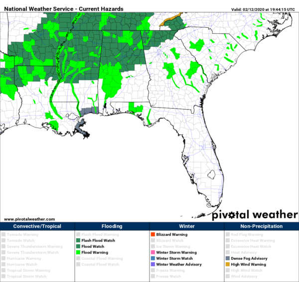
Flash Flood Watches continue for all of North Alabama and the northern 2/3rds of Central Alabama through all of today and through much of Thursday until 6:00 pm. And speaking of flooding…
PUBLIC INFORMATION STATEMENT
Here is the latest Public Information Statement from NWS Birmingham concerning issues with Martin Dam and locations on the lower Tallapoosa and Alabama Rivers:
…GATE OPERATIONS WILL BEGIN THIS AFTERNOON AT MARTIN DAM…
ALABAMA POWER COMPANY ADVISES THAT GATE OPERATIONS WILL BEGIN THIS AFTERNOON AT MARTIN DAM.
INTERESTS DOWNSTREAM OF MARTIN DAM SHOULD STAY INFORMED OF REVISED RIVER FORECASTS FOR THE LOWER TALLAPOOSA AND ALABAMA RIVERS.
SLIGHT RISK FOR SEVERE STORMS CONTINUE FOR TONIGHT
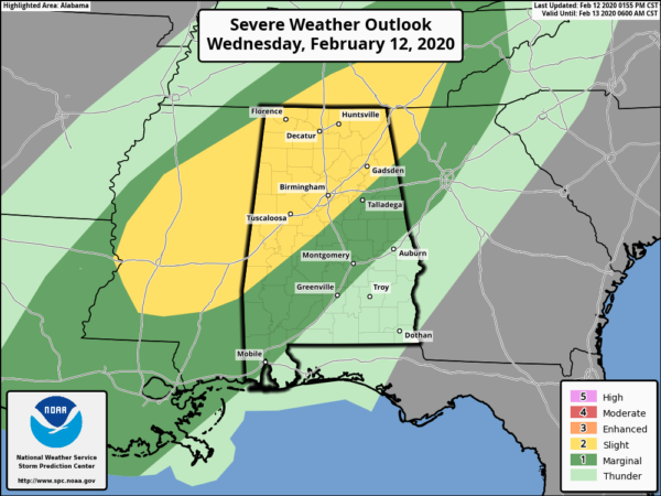
A Slight Risk continues for locations in North/Central Alabama north and west of a line from Jacksonville to Columbiana to Linden while a Marginal Risk continues for locations south and east of that down to a line from Lanett (Chambers Co.) to Franklin (Macon Co.) to just north of Ramer (Montgomery Co.).
It looks like the timing will be moved a little earlier starting around 6:00 pm tonight through 9:00 am Thursday morning. The breakdown in sections will be from 6:00 pm to 11:00 pm for the western parts, 9:00 pm to 2:00 am for the central parts, and 12:00 am to 9:00 am for the eastern parts of the area. Other than the timing, there is not much change in the thinking for this event.
We’ll have heavy rain and thunderstorms with a squall line associated with a cold front that will move through starting tonight and exiting the area on Thursday morning. A few strong to severe thunderstorms may be possible, but not likely. Instability will be meager at best along with very weak lapse rates and shear that will be just at the values supportive of stronger to severe storms. Isolated damaging winds at a brief tornado may be possible. Heavy rainfall may aggravate the already saturated soils and engorged waterways, and some flash flooding issues will be possible along and north of I-59.
More updates to come.
Category: Alabama's Weather, ALL POSTS, Severe Weather
About the Author (Author Profile)
Scott Martin is an operational meteorologist, professional graphic artist, musician, husband, and father. Not only is Scott a member of the National Weather Association, but he is also the Central Alabama Chapter of the NWA president. Scott is also the co-founder of Racecast Weather, which provides forecasts for many racing series across the USA. He also supplies forecasts for the BassMaster Elite Series events including the BassMaster Classic.Subscribe
If you enjoyed this article, subscribe to receive more just like it.


