A Quick Check on Our Weather at Midday
SALLY IS NOW A REMNANT LOW
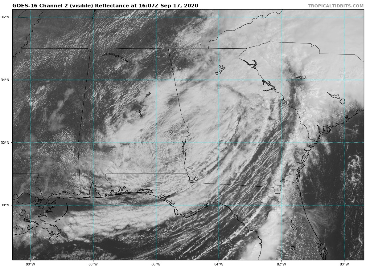
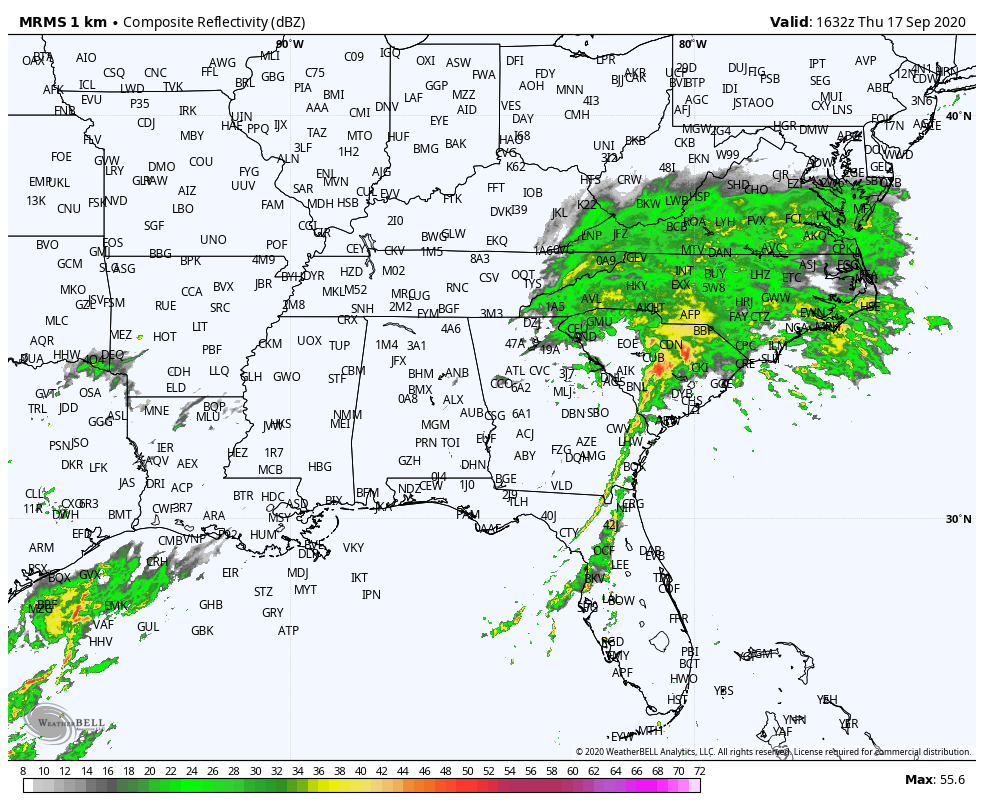
As of 11:30 am, nearly all of the precipitation from the remnants of Sally has moved up into the Carolinas and the Virginias with only some lighter showers remaining over the northeastern parts of Georgia and extreme eastern parts of Tennessee. Maximum sustained winds are down to 30 MPH and the system is moving to the northeast at 21 MPH. Flash Flood Watches are in effect from northeast Georgia across much of Upstate South Carolina, most of North Carolina, and southeast Virginia. Sally is expected to deposit 4 to 6 inches, with isolated amounts of 10 inches in and near the Carolinas and southern Virginia. Widespread flash flooding and minor to moderate river flooding is likely. A Tornado Watch is posted across portions of central and northeast South Carolina. Scattered tornadoes may occur from southeast Georgia into South and North Carolina through this afternoon and into this evening.
REMAINING POWER OUTAGES
Alabama is reporting as of 11:00 am that there are roughly 120,000 customers without power in the Mobile area, around 14,000 across the southern parts of Central Alabama, and less than 1,000 without power in Southeast Alabama.
HOW’S OUR WEATHER AT 11:30 AM
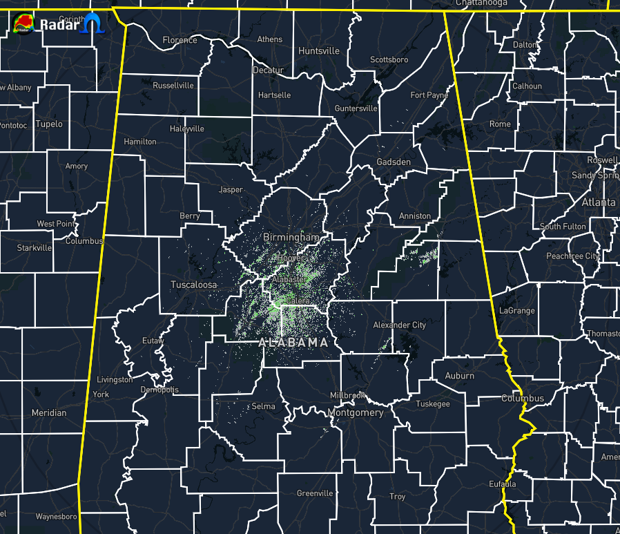
Other than some light mist or drizzle falling over the east-central parts of the area, all of Central Alabama is rain-free at the moment. We still have some cloud cover over the eastern and southern parts of the area on the backside of Sally’s remnants, but a good bit of sunshine is occurring over the northern and western parts. Temperatures as of the 11:00 am official roundup were in the lower 70s to the mid-80s across the area. Tuscaloosa was the warm spot at 85 degrees with mostly sunny skies. Auburn was the cool spot at 72 degrees with cloudy skies. Birmingham was at 82 degrees with partly cloudy skies.
WEATHER FOR THE REST OF OUR THURSDAY
Other than a few stray showers over the east and northeastern parts of Central Alabama from the backside of the remnants of Sally, we will be dry through the afternoon and into the early evening hours. Clouds will be decreasing from the northwest throughout the rest of the daylight hours. Highs will top out in the upper 70s to the mid-80s. A stray shower or two may be leftover into the evening hours, but cooler and drier air will be working into Central Alabama from the northwest. Clouds will continue to be decreasing and lows will drop into the mid to upper 60s.
Category: Alabama's Weather, ALL POSTS, Tropical
About the Author (Author Profile)
Scott Martin is an operational meteorologist, professional graphic artist, musician, husband, and father. Not only is Scott a member of the National Weather Association, but he is also the Central Alabama Chapter of the NWA president. Scott is also the co-founder of Racecast Weather, which provides forecasts for many racing series across the USA. He also supplies forecasts for the BassMaster Elite Series events including the BassMaster Classic.Subscribe
If you enjoyed this article, subscribe to receive more just like it.


